Foothills Trail
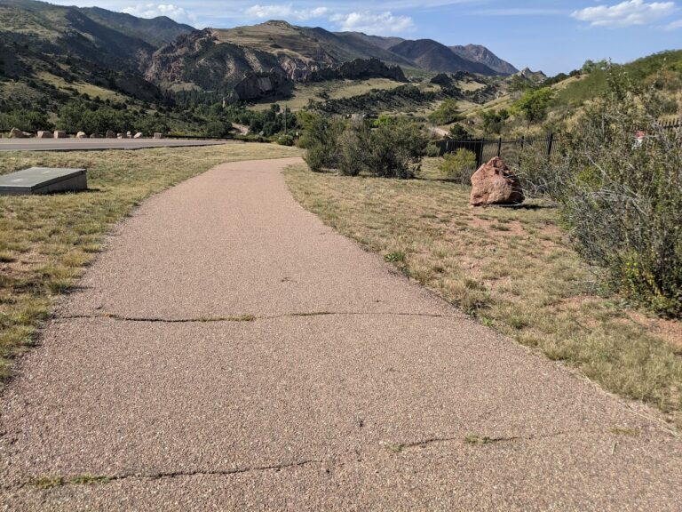
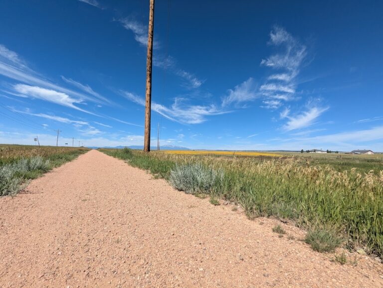
The Foothills Trail is a major multiuse pathway on the west side of Colorado Springs, stretching approximately 6.5 miles and connecting multiple neighborhoods and open spaces near Garden of the Gods. Running primarily north to south, the trail parallels Flying W Ranch Road and 30th Street while following an irrigation channel through scenic foothills terrain.
Recreation
The Foothills Trail is popular for walking, running, cycling, and dog walking, offering mostly gentle grades and wide, accessible sections. Its length and connectivity make it ideal for both short outings and longer fitness-focused rides or runs. Many users enjoy the trail for daily exercise, commuting, and sunset walks with mountain views.
Trails and Connections
The trail begins in the north near Oak Valley Ranch Park and continues south along Flying Ranch Road and 30th Street. Near Garden of the Gods, a short spur provides access to the Sinton Trail, while the main route continues south toward additional west-side trail systems. The Foothills Trail also connects to Palmer Mesa Trail, Blodgett Peak Open Space, and nearby neighborhood routes, allowing for extended loops and point-to-point trips.
Wildlife and Scenery
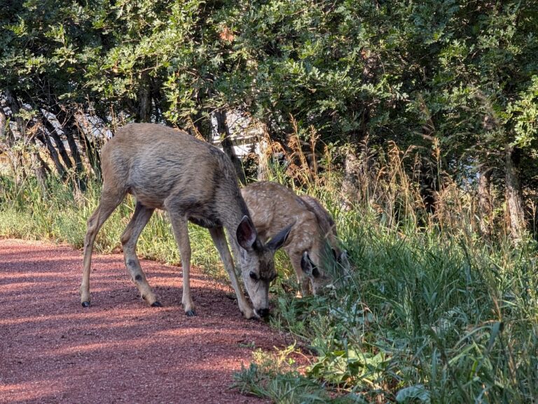
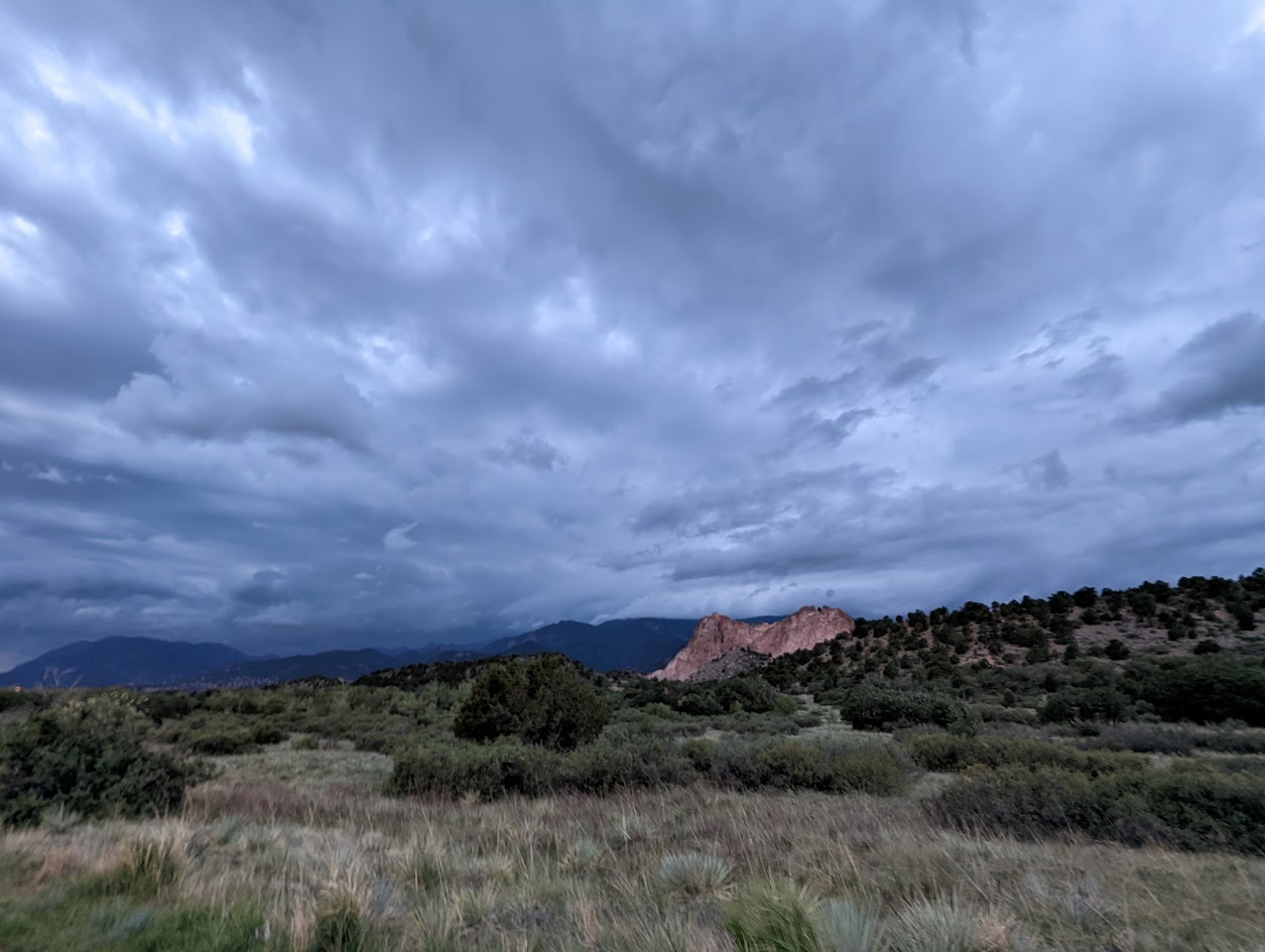
The route passes through grasslands, shrublands, and foothills habitat that support deer, rabbits, hawks, and songbirds. Views of sandstone formations, rolling hills, and Pikes Peak shift with the seasons, making the trail especially popular with photographers and nature enthusiasts. Spring wildflowers and fall colors add to the corridor’s visual appeal.
History
The Foothills Trail was developed as part of Colorado Springs’ effort to link major open spaces along the city’s western edge. By following existing irrigation corridors and foothills terrain, the trail preserves access to scenic landscapes while strengthening regional trail connectivity.
Plan Your Visit
Location: West Colorado Springs, from Oak Valley Ranch Park south past Garden of the Gods along Flying W Ranch Road and 30th Street
Parking: Available at Oak Valley Ranch Park, Garden of the Gods, and nearby open space trailheads
Hours: Open daily, sunrise to sunset
Fees: Free
Tips: Bring water and sun protection, as shade is limited in some areas. Use caution at road crossings, yield on shared sections, and stay on designated trails to protect sensitive foothills habitat.
