Palmer-Mesa Trail
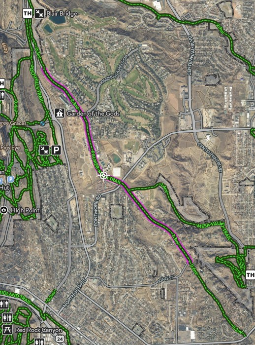
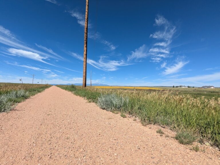
The Palmer Mesa Trail is a multiuse pathway in Colorado Springs that spans approximately 3.5 miles of paved and unpaved surface along Mesa Road. Beginning in Blair Bridge Open Space, the trail branches off from the Foothills Trail and travels south through scenic foothills and neighborhood landscapes.
Recreation
This trail is popular with walkers, runners, cyclists, and families looking for a moderate, accessible route with strong scenic rewards. Its mix of paved and natural surface makes it suitable for both casual outings and longer fitness-focused trips. The gentle grades and open views make it especially enjoyable for sunset walks and rides.
Trails and Connections
Palmer Mesa Trail begins at Blair Bridge Open Space and connects to the Foothills Trail before continuing south along Mesa Road. Near its midpoint, the route intersects with the Mesa Valley Trail at Oliver Wendell Holmes Middle School. These connections allow users to build longer routes linking multiple west-side trail systems.
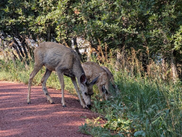
Wildlife and Scenery
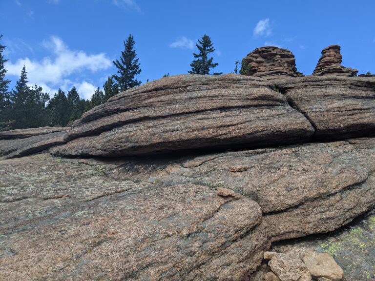
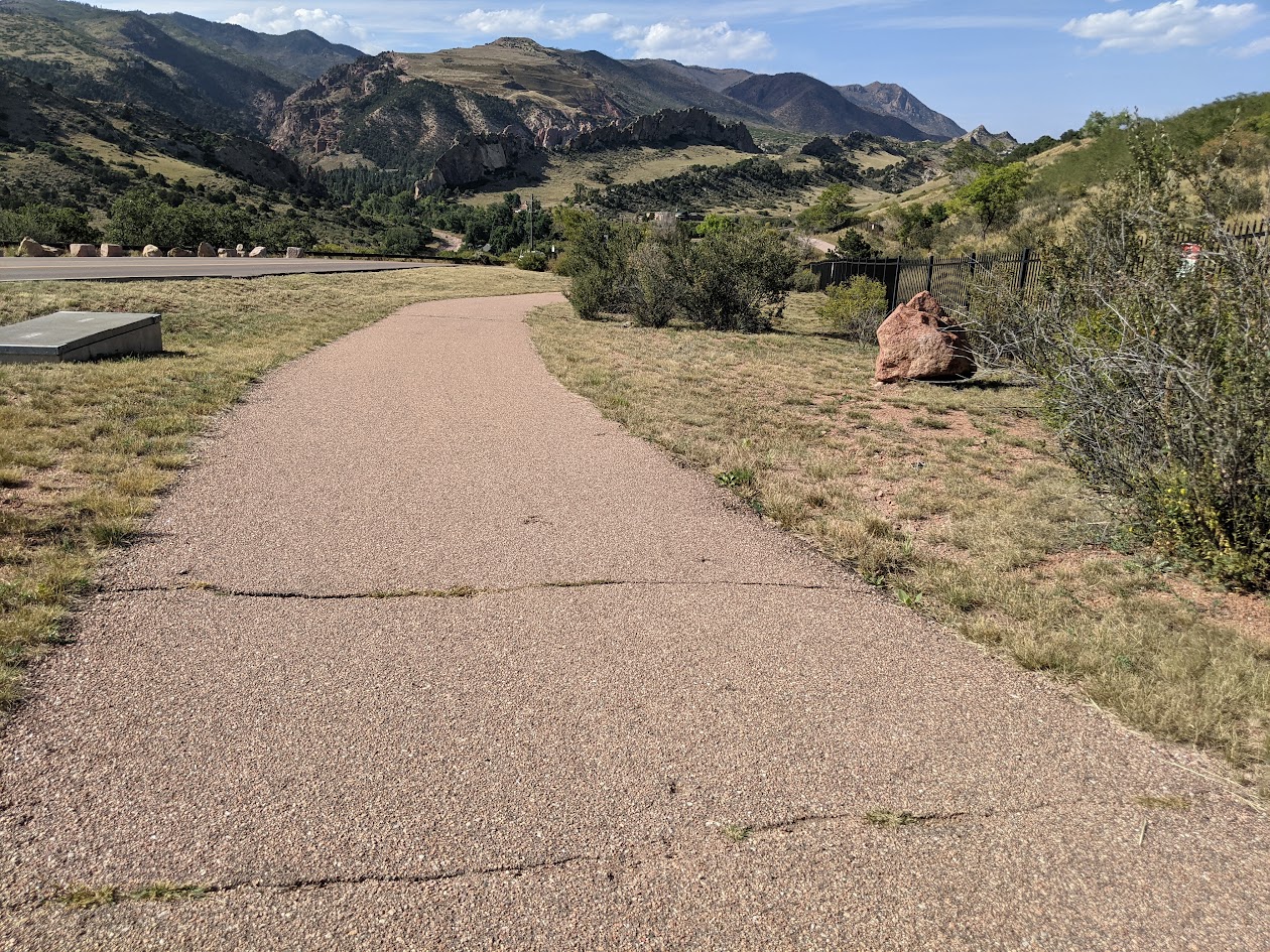
Highlights along the trail include overlooks of the striking red sandstone formations and rolling hills of Garden of the Gods. A stone arch bridge built by John Blair, landscape gardener for the Glen Eyrie estate, adds historic character to the route. Open foothills terrain and native vegetation create changing scenery throughout the year.
History
The trail corridor reflects the area’s connection to early landscape design associated with the Glen Eyrie estate and surrounding foothills. Features such as the stone arch bridge and scenic viewpoints highlight the blend of natural beauty and historic influence along Mesa Road.
Plan Your Visit
Location: Along Mesa Road, from Blair Bridge Open Space to Mesa Valley Trail
Parking: Small parking areas near the Blair Bridge.
Hours: Open daily, sunrise to sunset
Fees: Free
Tips: Parking is limited and fills quickly during peak times, especially at sunset. Bring water, use caution near road crossings, and share the trail courteously with other users.