Sand Creek Trail – Colorado Springs, CO
Sand Creek Trail is an evolving multi segment trail system in Colorado Springs that follows Sand Creek through residential areas, parks, and open spaces. When complete, the trail will serve as an important east west and north south connector, linking neighborhoods to recreation facilities and the city’s larger trail network.
Location: Eastern and southeastern Colorado Springs, following Sand Creek from Woodmen Road to Airport Road
Trail Experience
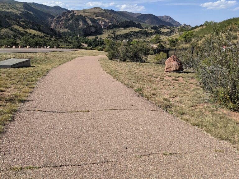
Sand Creek Trail is currently made up of two primary segments that are not yet connected. Each segment is approximately 4 miles in length and offers a different trail experience depending on location and surface type.
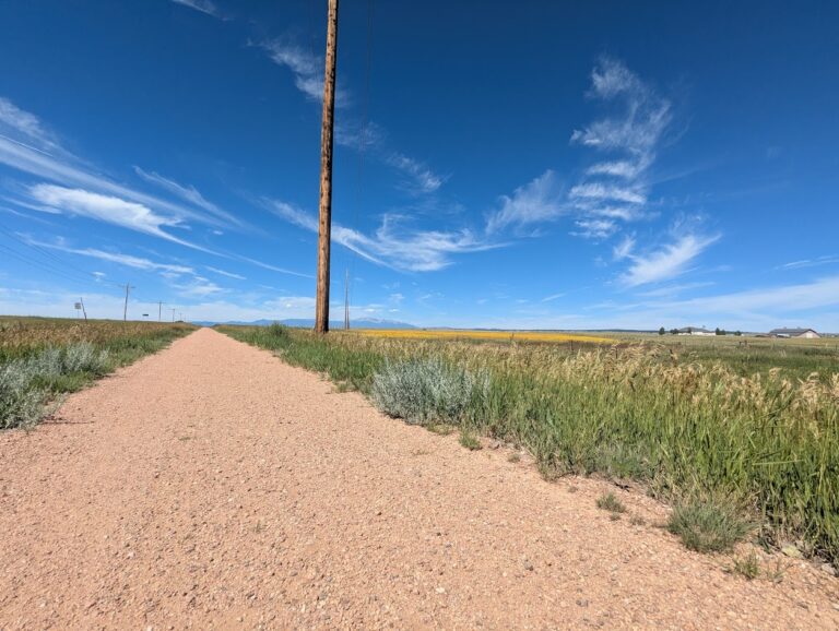
The southern segment runs diagonally through southeast Colorado Springs, beginning near El Pomar Youth Sports Park and extending east toward Wildflower Park. From Wildflower Park, the main trail continues north of Airport Road, while the East Fork Sand Creek spur heads east and ends just before Powers Boulevard. This section is largely concrete and offers a mild, accessible route for walking and biking. Users should expect two major street crossings at Hancock Expressway and Chelton Road.
A short central section of Sand Creek Trail was constructed between Platte Avenue and Galley Road as part of the Patriot Park development, creating a partial link through the corridor.
The northern segment of the trail runs north south alongside Sand Creek between Woodmen Road and Barnes Road. This section features mostly hardpacked natural surface, with a concrete segment between Barnes Road and Stetson Hills Boulevard. The northern portion offers a more natural setting, with open views and access to nearby parks and open space.
Connections
Sand Creek Trail connects directly to the Pikes Peak Greenway at El Pomar Youth Sports Park, providing access to the larger Front Range trail system. The trail also offers convenient access to the Southeast Family Center YMCA and surrounding neighborhoods.
The northern segment connects to Stetson Park and Stetson Hills Open Space, expanding recreational opportunities and linking users to additional trail and open space experiences.
Sand Creek Trail represents a growing investment in trail connectivity for Colorado Springs. As additional segments are completed, it will continue to strengthen access to parks, neighborhoods, and regional trail corridors across the city.