Sinton Trail – Colorado Springs, CO
Sinton Trail is a scenic urban trail in central Colorado Springs that follows Douglas Creek and an adjacent drainage canal. The trail offers a peaceful corridor through an otherwise developed area, connecting major trail systems while providing opportunities to experience wildlife, seasonal color, and quiet open space close to the city.
Location: Central Colorado Springs, between Garden of the Gods Road and Mark Dabling Boulevard
Trail Experience
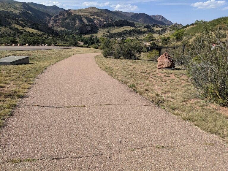
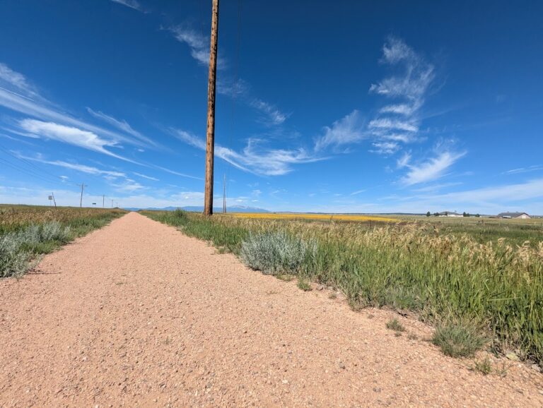
Sinton Trail is approximately 3 miles long and runs northwest to southeast between Garden of the Gods Road and Mark Dabling Boulevard, just north of the Goose Gossage Youth Sports Complex. The trail surface is primarily asphalt, with short sections of concrete and gravel. Elevation changes are gradual, with a gentle uphill grade when traveling west.
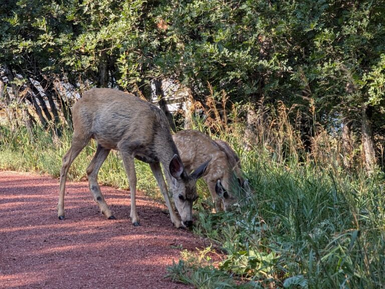
The trail is well suited for walking, running, and biking and is accessible to a wide range of users. One of the highlights of the trail is its proximity to water and riparian habitat, which supports birdwatching opportunities, particularly near Sinton Pond Open Space. Waterfowl, songbirds, and other wildlife are commonly observed in this area.
In autumn, mature cottonwoods and other trees along the corridor provide vibrant fall color, making Sinton Trail especially popular during the changing seasons. The combination of water, vegetation, and separation from traffic creates a calm and immersive trail experience.
Road Crossings and Navigation
Sinton Trail includes two at grade street crossings at North Chestnut Road and Holland Park Boulevard. The trail also passes under Centennial Boulevard via a narrow metal tunnel, which requires users to proceed with caution and be aware of oncoming traffic, particularly cyclists.
Connections
Sinton Trail connects directly to the Pikes Peak Greenway and Templeton Gap Trail, making it an important link within Colorado Springs’ urban trail network. With minimal use of sidewalks and local streets, users can also reach 30th Street to connect with the Foothills Trail and Garden of the Gods Park.
A short dirt path provides access to Sinton Pond Open Space, a 13 acre natural area that offers a quiet detour and additional wildlife viewing opportunities within a densely developed part of the city.
Sinton Trail serves as both a functional connector and a natural refuge, offering year round recreation, seasonal beauty, and access to some of Colorado Springs’ most popular trail corridors.