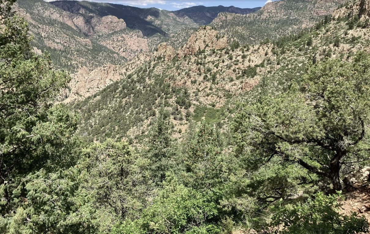
Sondermann Park

Sondermann Park is a peaceful neighborhood and open space park on the west side of Colorado Springs. This scenic corridor features creekside habitat, open lawns, and trail access, offering a quiet escape close to downtown and Old Colorado City.

Recreation

The park is popular for walking, jogging, dog walking, birdwatching, and casual cycling along  soft-surface paths. Open grassy areas provide space for wildlife viewing, relaxation, and informal play, while shaded sections near the creek offer cool resting spots during warmer months.

Trails and Connections

Sondermann Park provides direct access to the Mesa Valley Trail. This serves as a connection to the Pikes Peak Greenway Trail.  The park also serves as a gateway to nearby environmental education facilities and neighborhood routes.  Inside the park, a variety of trails through diverse habitat are present. Trails: Bluestem Trail, Mesa Valley Trail, West Fork Trail , Creekside Trail, Lilac Trail, Western Loop, South Park Loop.

Wildlife and Scenery

The creek and wetlands attract ducks, songbirds, herons, beavers and other wildlife throughout the year. Cottonwood trees, native grasses, and riparian vegetation create a natural landscape that changes with the seasons. Larger wildlife, such as coyotes, mountain lions, bobcats and black bears frequent the area.  The area is especially popular for early-morning walks and nature photography.

History

The park is named in honor of Paul Sondermann, a longtime conservation advocate who played a key role in protecting local waterways and open spaces. Its preservation reflects the community’s commitment to maintaining healthy creek corridors and accessible green spaces.

Plan Your Visit

Location: 740 W. Caramillo St., Colorado Springs, CO 80907
Parking: Limited parking available near trailhead and adjacent streets
Hours: Open daily, sunrise to sunset
Fees: Free

Tips: Bring water and sun protection, and watch for cyclists on shared-use paths. Stay on designated trails to help protect creekside habitat.

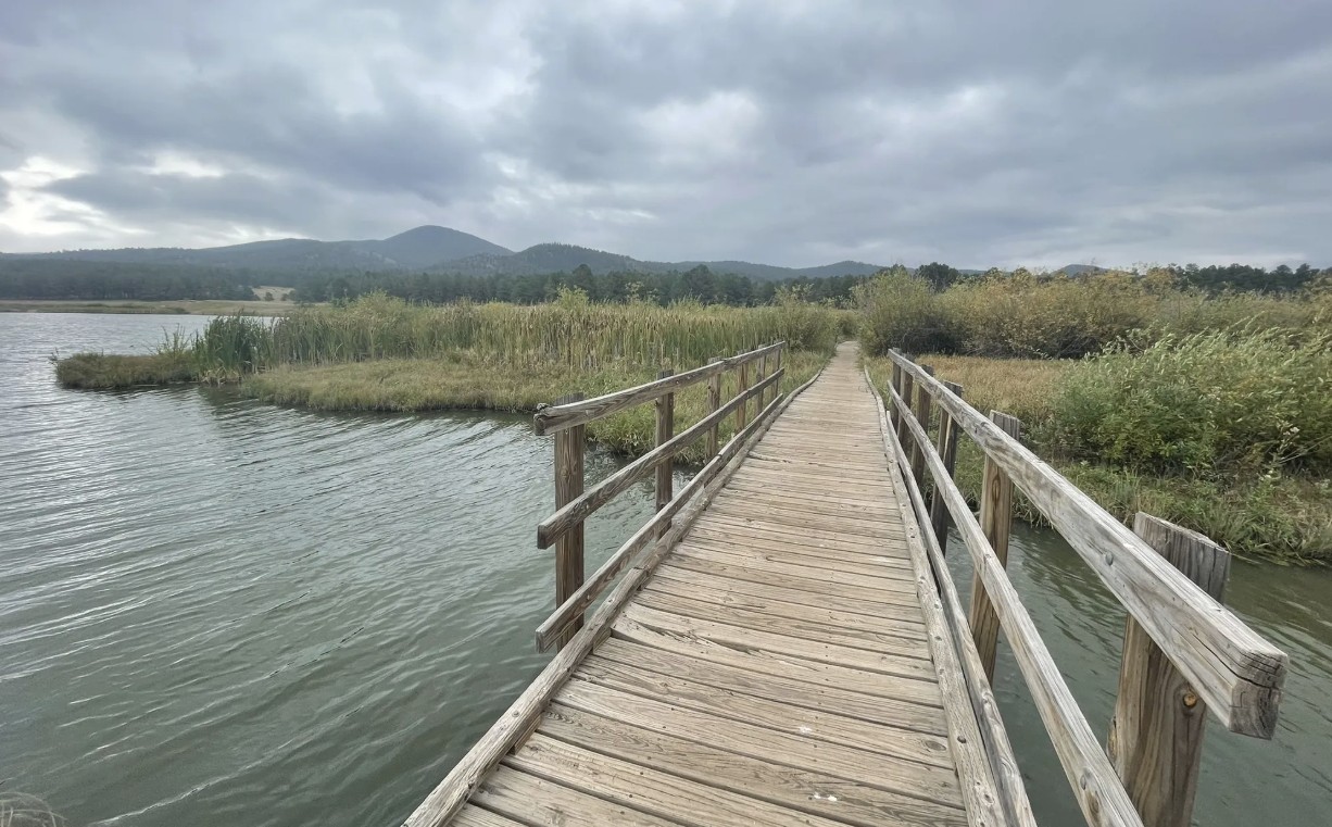
Manitou Lake

Manitou Lake is a 5-acre reservoir north of Woodland Park that offers a family-friendly setting for fishing, hiking, and picnicking against the backdrop of Pikes Peak. Surrounded by meadows, forest, and mountain views, this peaceful destination is popular year-round for outdoor recreation and is a gateway to nearby trails and campgrounds.

Recreation

The highlight of Manitou Lake is fishing, with opportunities throughout the year thanks to easy access and regular use by anglers. A scenic 2.5-mile loop, Trail #670, circles the lake and is perfect for a leisurely walk or nature stroll. Swimming, wading, and body contact with the water are prohibited, but the reservoir remains a hub for fishing, wildlife viewing, and family picnics.

Trails and Camping

In addition to Trail #670, visitors can connect to Bike Trail #699, a paved 4.2-mile route that links campgrounds and picnic areas. The area also includes two group campgrounds—Pike Community and Red Rocks—that make it easy for families and organizations to enjoy overnight stays in the forest.

Wildlife and Scenery

The lake’s surrounding wetlands attract a wide variety of birdlife, including ducks, herons, and songbirds. Expansive meadows and towering pines frame the reservoir, making it an ideal place to enjoy mountain views or photograph seasonal wildflowers.

History

Manitou Lake was developed as a recreational reservoir and has long been valued as a gathering place for anglers, campers, and picnickers in the Pikes Peak region. Its ongoing popularity reflects its balance of natural beauty and easy access.

Plan Your Visit

  • Location: 11 miles north of Woodland Park along Highway 67

  • Parking: Day-use parking available with fee

  • Hours: Open daily, sunrise to sunset

  • Fees: $11 per vehicle day use fee. Annual passes are available for Manitou Lake Picnic Area, Rampart Reservoir Recreation Area, and Eleven Mile Canyon.

  • Tips: All sites have tables, fire grates, and trash collection. Bring layers for changing mountain weather and a fishing license if you plan to fish.

With its mix of trails, campsites, picnic areas, and scenic waters, Manitou Lake is an inviting spot for families, groups, and anyone looking to experience the beauty of the Pikes Peak region.

More Information: https://www.fs.usda.gov/r02/psicc/recreation/manitou-lake-picnic-area

Beaver Creek Wilderness Study Area

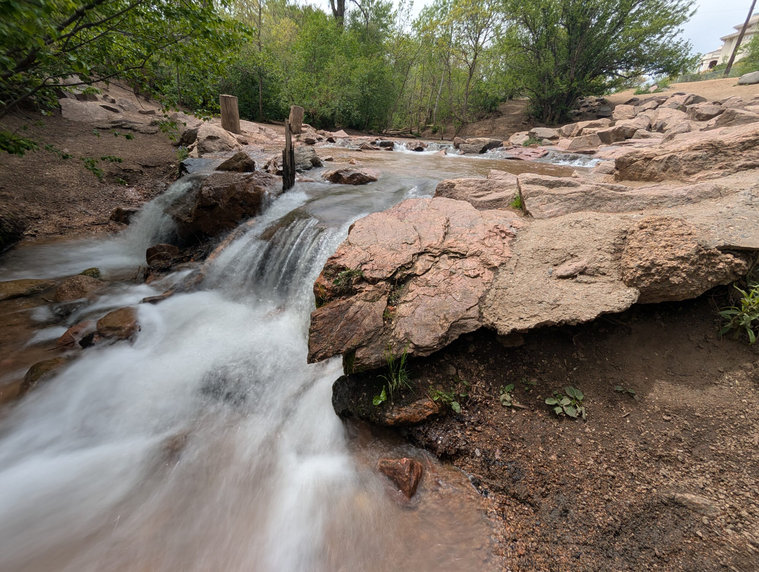
The Beaver Creek Wilderness Study Area (WSA) is a rugged and remote backcountry gem managed by the Bureau of Land Management. Spanning more than 27,000 acres, this wild landscape protects a dramatic mix of canyons, ridges, and rolling foothills where solitude, scenery, and backcountry adventure come together. The Beaver Creek WSA is located in Fremont, Teller, and El Paso counties, approximately 10 miles northeast of Cañon City and 12 miles southwest of Colorado Springs. The primary trailhead is located at the end of Fremont County Road 132.
Recreation and Trails

Beaver Creek WSA is a favorite destination for hikers, equestrians, and anglers seeking quiet trails far from crowds. The Beaver Creek Trail follows the namesake waterway through red-rock canyons and shady cottonwood groves, eventually climbing to sweeping views of the Wet Mountains and Pikes Peak. Several primitive routes connect to the trail, creating opportunities for longer backpacking trips. Anglers are drawn to Beaver Creek itself, a state-designated Wild Trout Stream, known for its naturally reproducing populations of brown and rainbow trout.

Wildlife and Scenery

The varied terrain provides habitat for an impressive array of wildlife. Visitors may encounter bighorn sheep scaling cliffs, elk and mule deer grazing the meadows, or golden eagles riding canyon thermals. In spring, wildflowers brighten the slopes, while autumn paints the cottonwoods in vibrant yellows along the creek. The combination of rocky canyons, forested ridges, and wide-open skies makes the area a haven for photographers and nature lovers.

History

Beaver Creek has long been valued for its rugged beauty and ecological significance. Designated a Wilderness Study Area in 1980, it has been managed to preserve its wild character while Congress determines whether it will receive permanent wilderness status. The area also has ties to early homesteading and ranching, with remnants of old cabins and corrals still visible in some drainages.

Plan Your Visit

Location: Approximately 12 miles north of Cañon City, accessible via County Road 132 from Highway 115.
Parking: Trailhead parking is available at the end of County Road 132; access roads can be rough, especially in wet weather.
Hours: Open year-round, but access may be limited by snow or muddy road conditions.
Fees: None.
Tips:

  • This is a remote, rugged area—pack extra food, water, and navigation tools.

  • Trails are primitive and can be overgrown; be prepared for route finding.

  • Respect the wild character: leave no trace and pack out all trash.

With its wild canyons, clear streams, and unmatched solitude, the Beaver Creek Wilderness Study Area offers one of the most authentic backcountry experiences along Colorado’s Front Range.

More Information: https://www.blm.gov/programs/national-conservation-lands/colorado/beaver-creek-wsa

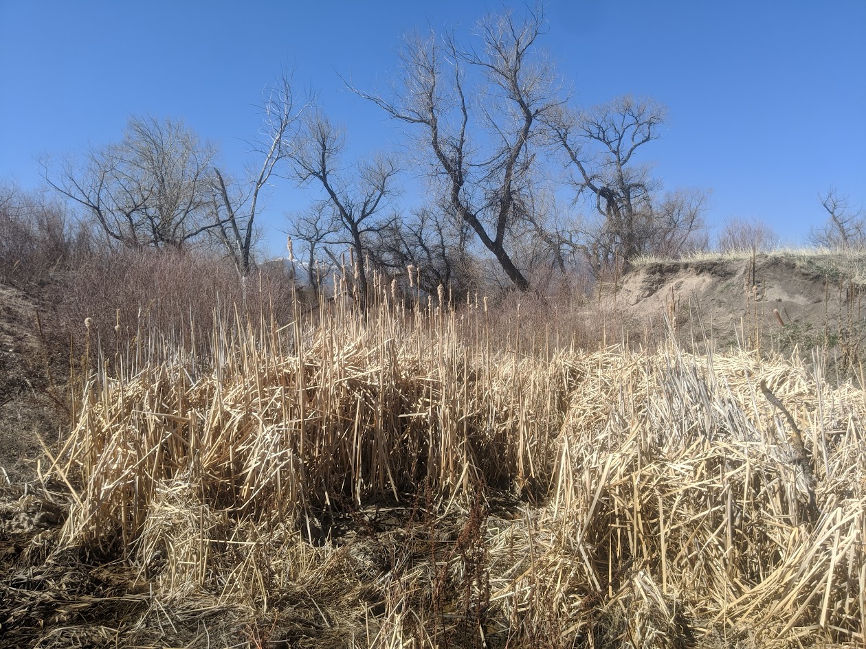
Bear Creek Regional Park

Bear Creek Regional Park is a sprawling 545 acre park nestled in the foothills of Colorado Springs, operated by El Paso County. It offers a rich mix of active recreation and natural spaces, making it a unique destination for both community gatherings and nature escapes.
Trails and Recreation

Ten miles of multi purpose, non motorized trails traverse the park, linking its various sectors. Visitors can jog, bike, hike, or ride horseback on these trails, many of which wind through prairie, riparian zones, and gentle hills. The park also includes picnic pavilions, playing fields, tennis courts, basketball courts, an archery range, volleyball areas, horseshoe pits, and playgrounds across its different areas.

Bear Creek Dog Park

Within the park lies a 25 acre fenced off leash dog area, one of El Paso County’s most visited facilities, drawing over 100,000 visitors each year. The dog park includes open prairie, wooded hills, a third mile stretch of Bear Creek, walking trails with a primary three quarter mile loop, and secondary paths. A separate two acre section is reserved for small and senior dogs. Amenities include creek access, water fountains, a dog wash area, restrooms, bag dispensers, shade, and benches.

Bear Creek Nature Center

The Bear Creek Nature Center (245 Bear Creek Road) serves as the educational hub of the park. It offers interpretive programs, guided and self guided tours, interactive nature exhibits, and seasonal events for families and school groups. Trails around the center highlight the area’s natural beauty and habitat but may have restrictions to protect sensitive wildlife.

Charmaine Nymann Community Garden

The Charmaine Nymann Community Garden is a two acre organic garden maintained by the Bear Creek Garden Association. It features 104 full size plots, underground water delivery, and secure fencing. Gardeners pay annual fees that cover soil tilling, water, and maintenance, and many donate surplus produce to local nonprofits.

Wildlife and Scenery

Bear Creek blends riparian corridors, prairie, and foothill terrain. Expect to see cottonwoods, scrub oak, ponderosa pines, and open meadows. Wildlife includes mule deer, coyotes, songbirds, raptors, and aquatic species near the creek. Seasonal bird migrations, wildflowers, and creekside reflections make the park especially scenic.

History

The land that now forms Bear Creek Regional Park has transitioned from historic poor farm and garden operations to one of the most loved open spaces in the region. Today the park is divided into East, Terrace, Dog Park, and Nature Center areas, balancing both active recreation and conservation.

Plan Your Visit

Location: Access via 21st Street and West Rio Grande for Bear Creek East, 21st Street and Argus for Bear Creek Terrace, and Bear Creek Road for the Nature Center.
Hours: 5:00 a.m. to 9:00 p.m. daily
Parking: Multiple parking lots serve the East, Terrace, Dog Park, and Nature Center areas.
Tips:

  • Pets must be on leash in all areas except the dog park

  • Follow signage around the Nature Center as some trails have pet and bike restrictions

  • Check the Nature Center schedule for programs and events

  • Community garden plots are available seasonally through the Bear Creek Garden Association

Smith Creek Natural Area

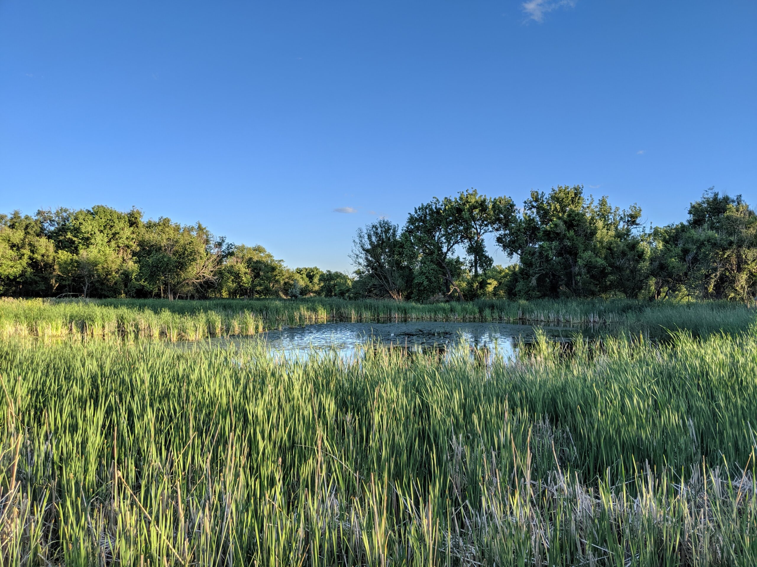
Smith Creek Natural Area is a hidden gem in northern Colorado Springs, offering a peaceful mix of short trails, restored grasslands, and riparian habitat along the creek. Managed as open space, this natural area gives residents and visitors a chance to enjoy a quieter outdoor experience just minutes from growing neighborhoods and commercial corridors.
Trails and Recreation

The natural area features a soft-surface trail system that winds through meadows and along Smith Creek. These trails are well-suited for walking, running, and birdwatching, with gentle terrain that makes them accessible for families and casual hikers. The trails connect to nearby residential paths, making Smith Creek a convenient green escape close to home.

Wildlife & Scenery

Smith Creek is part of a vital riparian corridor that supports diverse wildlife. Birdwatchers may spot hawks, owls, and songbirds, while deer and foxes are occasional visitors to the meadows. The landscape is especially beautiful in spring and early summer when wildflowers bloom and the creek flows strongest. Native grasses and cottonwood trees provide year-round scenery and habitat for pollinators and small mammals.

History

The land around Smith Creek was once used for ranching and agriculture before being set aside as a protected natural area. Today, it is managed with an emphasis on preserving riparian health, supporting wildlife habitat, and giving local residents an accessible space to connect with nature.

Plan Your Visit

Location: Off Voyager Parkway near Interquest Parkway, northern Colorado Springs
Hours: Open daily, dawn to dusk
Parking: Limited parking is available at nearby trailheads and residential streets—visitors are encouraged to walk or bike in from surrounding neighborhoods.
Know Before You Go: Dogs are welcome but must be leashed to protect wildlife. Trails may be muddy after rain or snowmelt, so plan footwear accordingly.

Cattail Marsh Wildlife Area

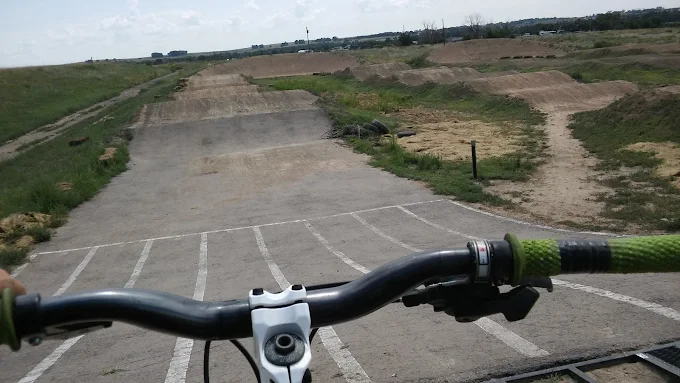
Cattail Marsh Wildlife Area in Fountain, CO is a quiet oasis tucked along the banks of Fountain Creek, offering one of the region’s best spots for birdwatching and nature observation. This wetland habitat, shaped by cattails, marsh grasses, and open water, provides an essential refuge for migratory birds and local wildlife while giving visitors a peaceful place to connect with nature.
Trails and Recreation

Visitors can enjoy a short network of natural-surface paths that weave through cattail stands and around marshy ponds. These trails are flat and easy, making them perfect for a leisurely walk, wildlife photography, or a quiet moment in nature. The area also links with the broader Fountain Creek Regional Trail system, offering opportunities for longer walks or bike rides.

Wildlife & Scenery

As its name suggests, the marsh is alive with wildlife. More than 200 bird species have been spotted here, including red-winged blackbirds, herons, egrets, ducks, and seasonal sandhill cranes. Turtles, frogs, and beavers also make their home in the wetlands, while deer and foxes are often seen at the edges. The cattail stands create striking reflections in the ponds, especially at sunrise and sunset.

Fountain Creek Nature Center

Located within Fountain Creek Regional Park next to the marsh, the Fountain Creek Nature Center serves as the gateway to the area. The center features interactive exhibits on wetlands ecology, wildlife displays, and panoramic windows overlooking the marsh. It also hosts year-round educational programs, guided hikes, and children’s activities that connect people of all ages to the importance of wetlands and riparian ecosystems.

History

Cattail Marsh was conserved as part of the broader effort to protect Fountain Creek’s riparian corridor and preserve valuable wetlands in southern El Paso County. These wetlands are not only scenic but also play a critical ecological role, filtering water and supporting biodiversity in an otherwise urbanizing landscape.

Plan Your Visit

Location: 320 Peppergrass Ln, Fountain, CO 80817 (adjacent to Fountain Creek Regional Park)
Hours: Open daily from dawn to dusk
Parking: Available at the Fountain Creek Nature Center and nearby trailheads
Know Before You Go: Dogs must remain leashed to protect wildlife. Trails can be muddy in spring and after heavy rain—wear appropriate footwear and bring binoculars for the best birding experience.

More Information: https://parks.elpasoco.com/el-paso-county-nature-centers/fountain-creek-nature-center/

Cross Creek Regional Park

Cross Creek Regional Park, located in northeast Colorado Springs, blends natural open space with family-friendly amenities—making it a welcoming destination for recreation, relaxation, and community connection. The park’s mix of native prairie, pond, creekside habitats, and developed facilities gives visitors both tranquility and activity options.
Trails and Recreation

The park features several miles of soft-surface trails that wind along Cross Creek and through grasslands, ideal for walking, jogging, and enjoying nature. Paved paths accommodate easy, accessible strolls. These trails serve as a natural escape within city boundaries.

Amenities and Features

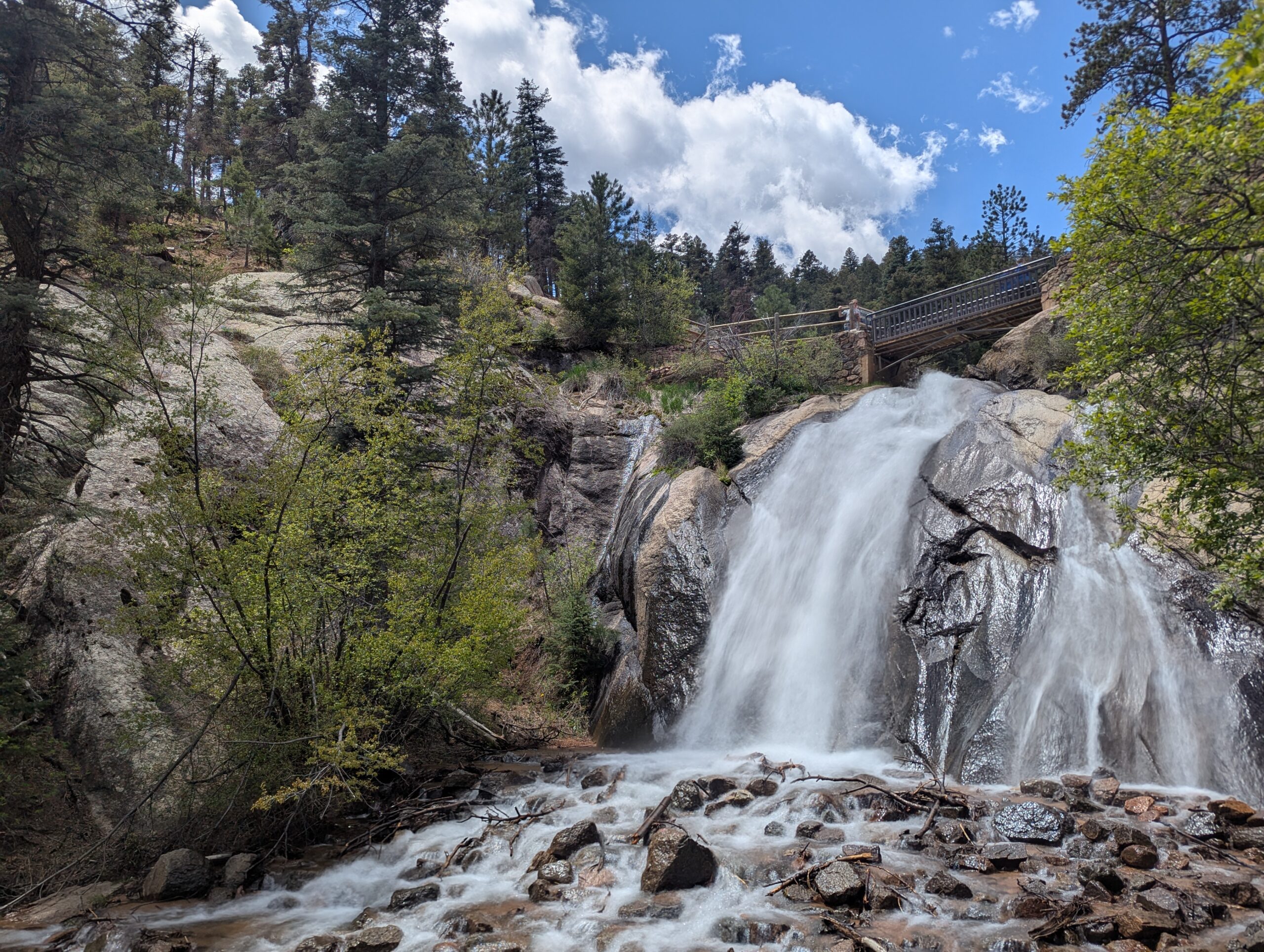
Cross Creek includes picnic shelters, playgrounds, Cross Creek BMX track, restrooms, Hale Reservoir and open playfields. The large picnic areas make it ideal for family gatherings or community events. The mix of open lawns and shaded tree groves ensures spaces for both active play and quiet breaks.

Wildlife & Scenery

From creekside riparian zones to open grasslands, the park supports wildlife such as songbirds, rabbits, and small mammals. The landscape offers broad views of the Front Range and Pikes Peak. Seasonal wildflowers add vibrant color in late spring and summer, making the park a great spot for casual nature viewing.

History

Cross Creek Regional Park was established to meet growing recreational needs in the Fountain Valley while preserving natural  prairie corridors. Its development balances active recreation with habitat protection, ensuring that even as neighborhoods grow, green space remains part of the city’s fabric.

Plan Your Visit

Location: 8115 Parkglen Dr, Fountain, CO 80817
Hours: Open daily from dawn to dusk
Parking: On-site parking lots accessible near picnic areas, trails, and facilities

North Cheyenne Cañon Park (City of Colorado Springs)

Nestled at the base of Pikes Peak on the southwest edge of Colorado Springs, North Cheyenne Cañon Park is a 1,600-acre natural area known for its steep canyon walls, cascading streams, and dense forests of pine and fir. Established in 1885, it is one of the region’s oldest and most beloved parks, offering a dramatic gateway into the mountains while protecting critical wildlife habitat and watershed resources.


Recreation and Trails

North Cheyenne Cañon Park features over 20 miles of trails for hikers, runners, and mountain bikers, with access to longer backcountry routes extending into surrounding forest lands. Popular destinations include Helen Hunt Falls, one of the most accessible waterfalls in the region, and the Seven Bridges Trail, a scenic route that follows a creek through a shaded canyon.

The park is also home to two key visitor hubs: the Starsmore Visitor and Nature Center, which offers exhibits, educational programs, and trail information, and the Helen Hunt Falls Visitor Center, where visitors can learn about the canyon’s geology, ecology, and history while enjoying views of the falls. The park also connects to Gold Camp Road, a historic corridor offering both recreational access and expansive views.


Wildlife and Scenery

The canyon’s varied terrain supports a wide range of wildlife, including mule deer, black bears, foxes, and numerous bird species. Streams flowing through the canyon create lush riparian zones, while higher elevations transition into dense conifer forests. Seasonal changes bring vibrant wildflowers in spring, cool shaded hikes in summer, golden aspen in fall, and quiet snow-covered landscapes in winter.


History

For generations, Indigenous peoples traveled through this canyon before it became a destination for early settlers and visitors seeking mountain scenery. North Cheyenne Cañon was officially established as a city park in 1885 through land donations by General William Jackson Palmer and others. Over time, the park became a cornerstone of Colorado Springs’ park system, preserving both natural beauty and access to the mountains for the community.


Plan Your Visit

Location: 2120 S. Cheyenne Canyon Rd, Colorado Springs, CO 80906
Parking: Multiple parking areas throughout the canyon, including at trailheads, the Starsmore Visitor and Nature Center, and Helen Hunt Falls
Hours: Open daily, typically 5:00 AM to 9:00 PM (seasonal variations may apply)
Fees: No entry fee

Tips:

  • Stop at the Starsmore Visitor and Nature Center for maps, exhibits, and current trail conditions
  • Visit early, especially on weekends, as parking fills quickly
  • Stay on designated trails to protect sensitive habitat
  • Bring layers—temperatures can vary significantly in the canyon

With its towering canyon walls, flowing waterfalls, and educational visitor centers, North Cheyenne Cañon Park offers a classic Colorado experience just minutes from downtown.

Stratton Open Space

Located in southwest Colorado Springs, Stratton Open Space is a diverse and well loved natural area bordering North Cheyenne Cañon Park. With miles of trails, multiple ecosystems, and direct access toward Pike National Forest, Stratton offers a rich outdoor experience that blends recreation, wildlife habitat, and long standing community conservation.

Recreation and Trails

Stratton Open Space features approximately 15 miles of trails spread across 318 acres, making it a popular destination for hikers and mountain bikers. The trail network winds through foothills terrain, forested slopes, and open ridgelines, offering a range of experiences from moderate climbs to flowing descents.

Several trails have specific designations that visitors should note. The Chutes is a downhill bicycle only trail. The Ladders is a multi use, multi directional trail that provides an important connection between Chamberlain Trail and Gold Camp Road. The Gold Camp Path is a bi directional trail designated for hiking only. Clear signage helps guide users through the system and supports safe, shared use of the trails.

Stratton’s western edge connects seamlessly into North Cheyenne Cañon Park, allowing visitors to link outings across a much larger protected landscape.

Wildlife and Scenery

Stratton Open Space supports a wide variety of wildlife thanks to its range of habitats. Mule deer are commonly seen, along with coyote, black bear, mountain lion, gray fox, and bobcat. Smaller mammals such as rabbits, chipmunks, and squirrels are abundant, and the area supports a diverse bird population year round.

Reptiles found in Stratton include fence lizards, garter snakes, bullsnakes and rarely rattlesnakes. Visitors are encouraged to remain aware of their surroundings and respect wildlife at all times.

History

Efforts to protect Stratton Open Space began in the early 1990s, driven by local citizens who recognized the value of preserving this landscape. In 1998, the City of Colorado Springs purchased the property for $5.9 million. Most of the funding came from the Trails, Open Space, and Parks sales tax, with additional support from Great Outdoors Colorado, private donations, and The Trust for Public Land.

A conservation easement was placed on the property as part of the Great Outdoors Colorado funding and is held by Palmer Land Trust. Stratton Open Space is owned by the City of Colorado Springs and managed by the Parks, Recreation, and Cultural Services Department. Adjacent land managed by Colorado Springs Utilities includes water supply reservoirs and blends seamlessly with the open space outside of fenced infrastructure areas.

Plan Your Visit

Location: Southwest Colorado Springs, adjacent to North Cheyenne Cañon Park
Parking: Available at multiple access points and nearby trailheads
Hours: Open daily, dawn to dusk
Fees: No entry fee

Tips:
  • Follow posted trail designations, especially on bike only and hiking only routes

  • Watch for wildlife and maintain safe distances

  • Trails can be icy or muddy depending on season and weather

Supported by the Friends of Stratton Open Space, this area reflects decades of community commitment to conservation and recreation. Stratton Open Space remains a cornerstone of Colorado Springs’ open space system, offering connected trails, rich habitat, and access to some of the region’s most iconic landscapes.

Amenities: The 60 acre open space has roughly 2 miles of nonmotorized trail.  Covered in thick stands of scrub oak, mature ponderosa pine trees, and rolling grass meadows, offering users of the adjacent New Santa Fe Regional Trail an opportunity to experience a more natural foothills environment. The terrain is very mild, ranging approximately 150 feet in elevation. It’s a great place for families to go hiking, biking, horseback riding, dog walking, and running. 


Many notable landmarks can be seen from within the open space, including: Ben Lomand Mountain, Elephant Rock, Mount Herman, Monument Rock, Sundance Mountain, Chautauqua Mountain, Blodgett Peak, and Cheyenne Mountain far to the south. Santa Fe Open Space is a high value wildlife habitat. Animal sightings may include: squirrel, black bear, bat, elk, mountain lion, mule and white-tailed deer, wild turkey, fox, coyote, bobcat, red-tailed hawks, golden eagle and reptiles.  

Link to Map

2021 Master Plan

History: The earliest known area inhabitants were native American tribes that date to the Folsom period, 10,000 years ago. More recently the Mountain Ute, Arapahoe, Kiowa, Sioux and Cheyenne and others have been present.

Around 1869, the Bennett family established a homestead near the north end of the lake; their Ben Lomond Ranch spanned northward across the El Paso and Douglas county border. Locals refer to Elephant Rock as “Citadel Rock.”

In 1870, General William Jackson Palmer acquired the property as part of the Monument Farms & Lake Property to start the Denver & Rio Grande Railroad. The railroad open for business in January 1872. Palmer Lake was critical to the railroad because the steam trains chugged up to the Palmer-Divide summit and had to take on water to head back down. Passenger trains would stop to take on water and passengers could get off for a day of picnicking, fishing, boating or wildflower hikes for a fee of $1.50 roundtrip from Denver. In the late 1890’s Special trains for “wheelmen” (and women) were operated from Denver to Palmer Lake and other popular resort towns as bicycle riding was a fashionable outdoor sport. In 1897, building on the 11-mile Denver-Littleton Cycle Path, the Denver-Palmer Lake Cycle Path Association raised funds and acquired rights-of-way for an extension to Palmer Lake, a 50-mile route.

In 1920, Thomas H. Close purchases Santa Fe Open Space property, he planted wheat and grazed cattle in the western portions of the open space. The open space was grazed until the late 1970’s.

In 2003 a Conservation Easement was placed over the property to preserve certain natural, scenic, open space, aesthetic, ecological, recreational, historic, and environmental values. In 2017, El Paso County purchased the from the McGuire/Close family using voter supported TABOR funds. During the master planning process, the goal was to provide limited, passive recreation and preserve the conservation values of the property. Interpretive signs provide users with information on the property’s history. The property has an abandoned corral, ranch artifacts, and old roadbed that was once a service road used by the railroad.

Translate »