Colorado Front Range Trail – El Paso County, CO
The Colorado Front Range Trail is a long term vision for a continuous multi use trail system that will one day extend from Wyoming to New Mexico, following the Front Range of Colorado for approximately 876 miles. In El Paso County, this vision is already taking shape through a connected network of regional trails that provide important recreation and transportation opportunities across the Pikes Peak region.
Trail Experience
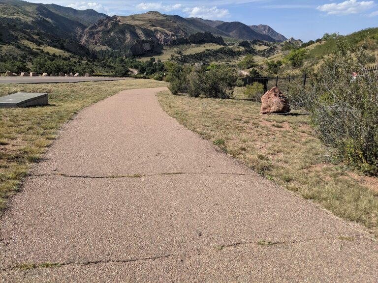
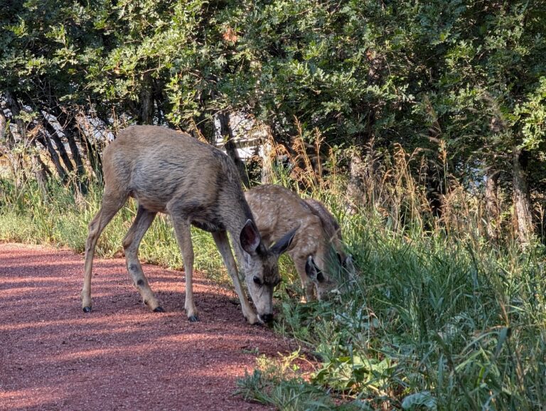
In El Paso County, the Colorado Front Range Trail consists of roughly 43 continuous miles of multi use trail. The surface varies by segment and includes dirt, gravel, asphalt, and concrete. When traveling south, the route generally follows a gradual downhill slope, making it accessible for a wide range of users.
Because the Front Range Trail is made up of multiple existing trails, it is known by different names depending on location.
Trail Segments
New Santa Fe Regional Trail
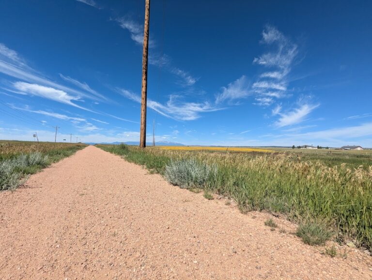
The northernmost segment begins in Palmer Lake, north of Monument, and extends approximately 17 miles south through open landscapes and natural areas. This section is primarily gravel, about six feet wide, and is generally straight and level. A critical 6.9 mile portion crosses U.S. Air Force Academy property via a designated trail easement. Visitors must remain on the trail at all times while on Academy land.
Pikes Peak Greenway
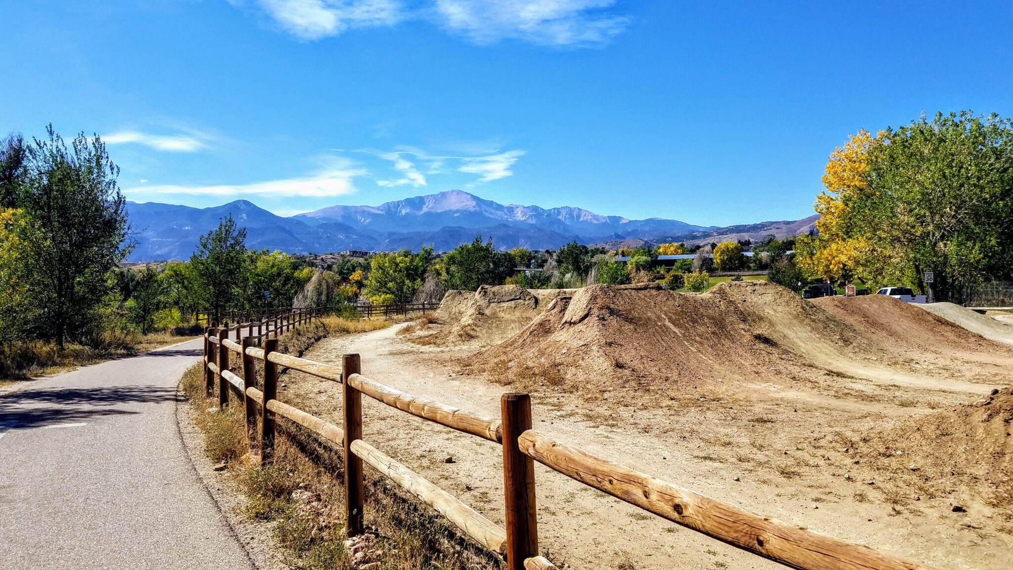
Near Woodman Road, the route transitions into the Pikes Peak Greenway, which runs north to south through the heart of Colorado Springs for approximately 16 miles. This largely paved corridor follows Monument Creek and Fountain Creek alongside I 25 and serves as the spine of the city’s urban trail system. Investments from Great Outdoors Colorado and the Trails Open Space Coalition TOPS program helped create an eight foot wide concrete commuter trail between Monument Valley Park and Highway 24. The Greenway connects to dozens of east west trails and passes near popular destinations such as Pikeview Reservoir, Monument Valley Park, America the Beautiful Park, and El Pomar Youth Sports Park.
Fountain Creek Regional Trail
South of El Pomar Youth Sports Park, the trail becomes the Fountain Creek Regional Trail. This segment follows Fountain Creek south toward Fountain Creek Regional Park, terminating near Bandley Drive. The trail is approximately 10 miles long, with an additional three mile disconnected segment within Clear Springs Ranch Open Space. This section features a dirt surface and more elevation changes than the northern segments.
History
The foundation of the Front Range Trail in El Paso County began in April 1982 with the formal opening of the New Santa Fe Regional Trail, which originally extended from Palmer Lake to the U.S. Air Force Academy. In 2013, a generous donation from REI Colorado Springs supported a partnership between the Trails and Open Space Coalition, the City of Colorado Springs, the Greenway Fund, and Leadership Pikes Peak to establish 15 adopter groups along the Pikes Peak Greenway, strengthening long term stewardship and community involvement.
Plan Your Visit
Location: Palmer Lake to Fountain, following the Front Range through El Paso County
Length: Approximately 43 continuous miles
Surface: Gravel, dirt, asphalt, and concrete depending on segment
Amenities: Multiple trailheads, connections to local parks and neighborhoods
Tips: Stay on designated trails, especially on U.S. Air Force Academy property. Check segment specific conditions before heading out.
The Colorado Front Range Trail in El Paso County represents decades of collaboration, investment, and community stewardship. As connections continue to improve, this regional corridor will play an increasingly important role in linking communities, supporting active transportation, and expanding access to outdoor recreation across the Pikes Peak region.