Shooks Run Trail – Colorado Springs, CO
Shooks Run Trail is a central Colorado Springs urban trail that follows Shooks Run Creek through historic neighborhoods, community spaces, and growing arts and garden corridors. The trail provides an easy, accessible route for walking, biking, and everyday recreation while connecting several key trail systems and local destinations.
Location: Central and southeast Colorado Springs, following Shooks Run Creek from Lilac Street to Fountain Boulevard
Trail Experience
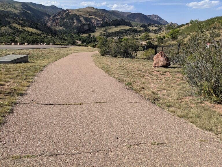
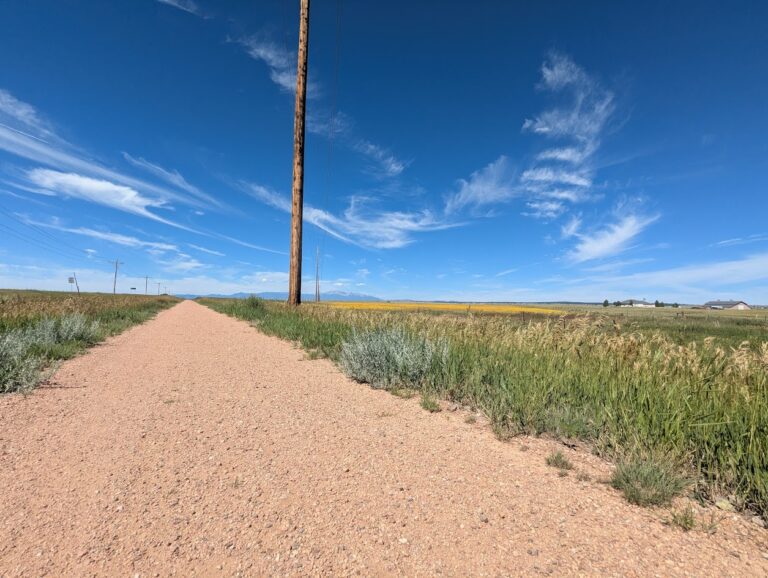
Shooks Run Trail is approximately 4 miles long and runs north to south along Shooks Run Creek. The trail begins near Lilac Street and the Rock Island Trail in the north and continues south to Fountain Boulevard and South Shooks Run Park. The paved surface makes for an easy walk or ride, with a slight downhill grade when traveling south.
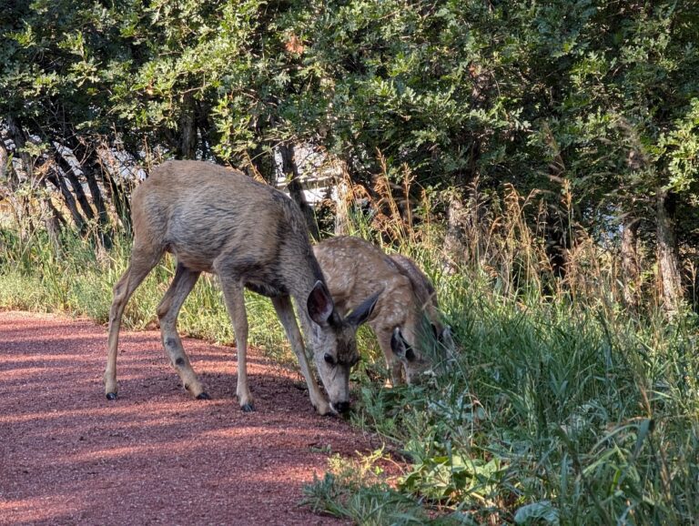
The trail is well suited for all ages and abilities, with benches and picnic tables placed along the route for rest and gathering. Shooks Run passes through residential areas and community focused spaces, creating a neighborhood oriented experience that blends everyday use with access to nature. Several street crossings occur along the trail, so users should proceed with awareness at intersections. Several parks can be found along or near the trail.
History and Character
One of the defining features of Shooks Run Trail is its connection to Colorado Springs’ early rail history. At the southern end of the trail, users pass through a historic rail underpass built in 1887, a reminder of the city’s industrial and transportation roots. Beyond the underpass, the trail reaches the Concrete Coyote property, owned and stewarded by Concrete Couch, which has become a hub for community creativity and placemaking.
Connections
Shooks Run Trail connects directly to the Rock Island Trail, expanding access to north south travel across the city. Sidewalks and neighborhood streets provide frequent access points along the route, making the trail easy to reach from surrounding homes and businesses.
With limited on street or sidewalk travel, users can connect to the Pikes Peak Greenway, further linking Shooks Run into the broader Front Range trail network. The trail also passes near Pikes Peak Urban Gardens and the Sustain a Center, where the Trails and Open Space Coalition office is located just off the corridor.
Shooks Run Trail plays an important role in connecting neighborhoods, supporting local community spaces, and strengthening the urban trail network in Colorado Springs. It is a trail built for everyday use, local connection, and continued investment in accessible outdoor spaces.