
Skyline Trail – Colorado Springs, CO
Skyline Trail is a neighborhood focused urban trail in northern Colorado Springs that provides an important north south connection through the Briargate area. Often referred to locally as the Powerline Trail due to its alignment with overhead powerlines, Skyline Trail is well used by nearby residents for walking, running, and biking.
Location: Briargate area, northern Colorado Springs
Trail Experience
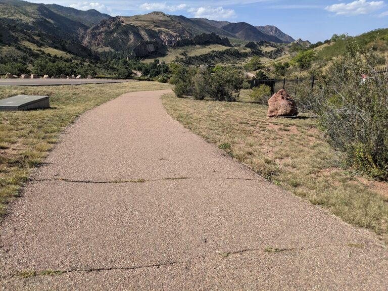
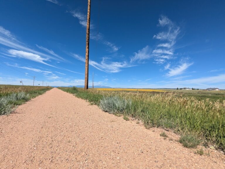
Skyline Trail is approximately 2 miles long and features a mix of wide concrete and dirt trail surfaces. South of Research Parkway, the trail is smooth concrete, while the segment north of Research Parkway transitions to a dirt surface. Rolling terrain creates noticeable elevation gain and loss, giving the trail a moderate difficulty rating.
The trail includes several distinctive switchbacks near Mirage Drive that offer views across the surrounding neighborhoods and open spaces. Despite its urban setting, the corridor provides a sense of separation from nearby roads and is popular for short neighborhood outings as well as longer connected trips.
Road Crossings and Navigation
Skyline Trail includes several street crossings and users should proceed with caution at all crosswalks. Major crossings occur at Briargate Boulevard and Research Parkway. When crossing Research Parkway, users should use the signalized intersection at Chapel Hills Drive for improved safety. Trail signage varies by segment, and awareness is recommended when navigating transitions between surfaces.
Connections
Skyline Trail transitions into Woodmen Trail at Briargate Boulevard, allowing users to continue east west through northern Colorado Springs. A spur trail provides access to Rampart Community Park, which includes a disc golf course, sports courts and fields, and a dog park. The trail passes near High Plains Elementary School and offers views of Reflection Pond, which can be accessed via sidewalks on Parliament Drive.
Sidewalk connections along Briargate Parkway allow access to John Venezia Community Park and the Briargate Trail. Multiple neighborhood access points along the route make Skyline Trail easy to reach from surrounding residential areas.
Skyline Trail plays an important role in connecting neighborhoods, parks, and trails across northern Colorado Springs while offering a moderately challenging route with varied terrain and strong local use.

