Rock Island Trail – Colorado Springs, CO
The Rock Island Trail in Colorado Springs follows a historic railroad corridor through the heart of the city, providing an easy, accessible east west route that connects neighborhoods, parks, and major trail systems. Built along the former Rock Island Railroad bed, the trail reflects the city’s transportation history while serving modern recreation and commuting needs.
Location: Central Colorado Springs, running east west alongside Constitution Avenue from Weber Street to Powers Boulevard
Trail Experience
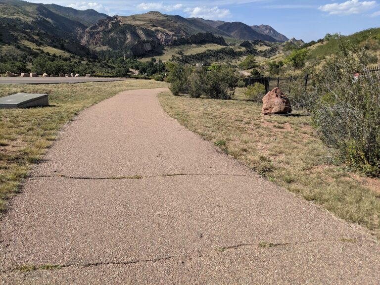
The Colorado Springs segment of the Rock Island Trail is approximately 6 miles long. It runs east west from Weber Street to Powers Boulevard, generally paralleling Constitution Avenue. The trail surface is a mix of concrete and asphalt, creating a smooth and accessible experience for walking, biking, and other non motorized uses.
The trail has a gentle grade, with a gradual uphill slope when traveling east. Several at grade street crossings occur along the route, so users should exercise caution at intersections. The corridor passes through residential areas and urban landscapes, offering a practical and well used route for everyday recreation and transportation.
Connections
Rock Island Trail connects directly to the Shooks Run Trail, creating a continuous north south and east west trail link through the city. With limited street or sidewalk travel, users can also connect to the Pikes Peak Greenway, Homestead Trail, and Palmer Park, making this trail an important part of Colorado Springs’ broader urban trail network.