Cheyenne Meadows Park
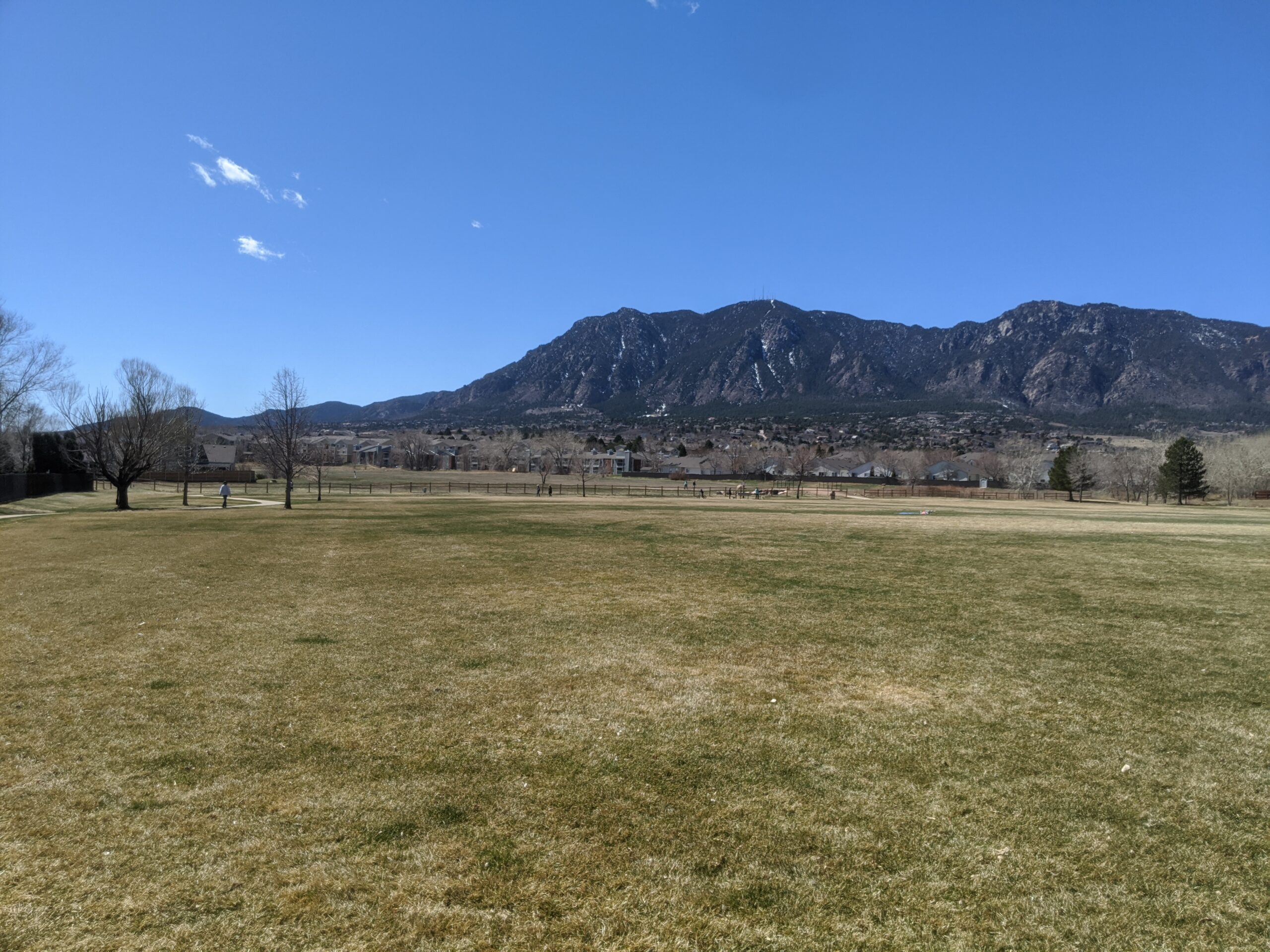
Cheyenne Meadows Park (City of Colorado Springs) Cheyenne Meadows Park is a 20.5-acre community park offering a wide range of recreational amenities and nearby access

Cheyenne Meadows Park (City of Colorado Springs) Cheyenne Meadows Park is a 20.5-acre community park offering a wide range of recreational amenities and nearby access
Candleflower Park (City of Colorado Springs) Candleflower Park is a 5-acre neighborhood park designed for everyday use and easy access in northeastern Colorado Springs. Features
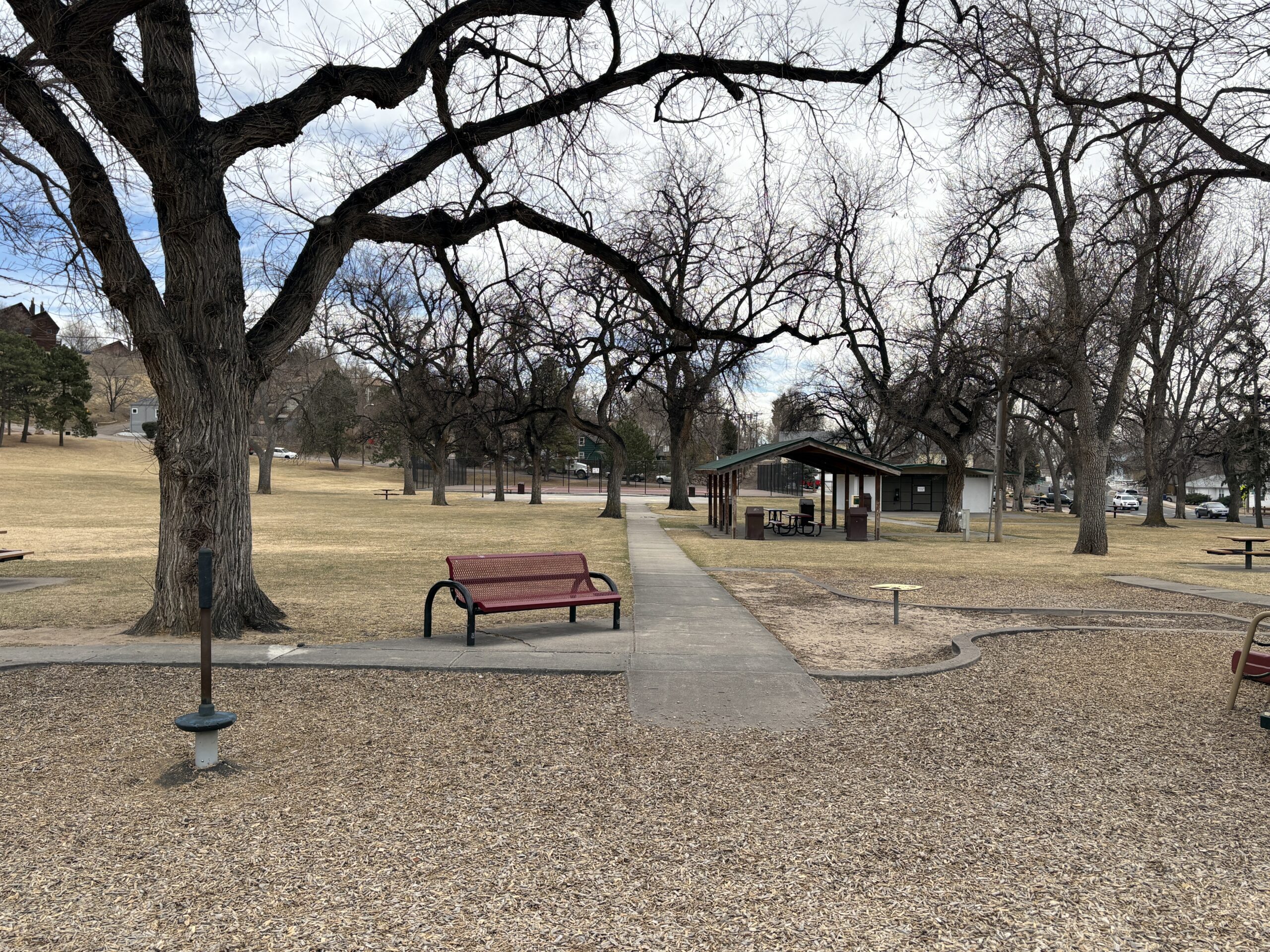
Boulder Park (City of Colorado Springs) Boulder Park is a 7.2-acre community park near downtown and Memorial Hospital – Central, offering a variety of sports
Bonforte Park (City of Colorado Springs) Bonforte Park is an 8-acre neighborhood park near downtown, offering a mix of classic recreation amenities and walkable green
Thorndale Park What a history! Thorndale Park was once the Town of Ramona. Once considered the “City of Sin”, Ramona was incorporated as a counter
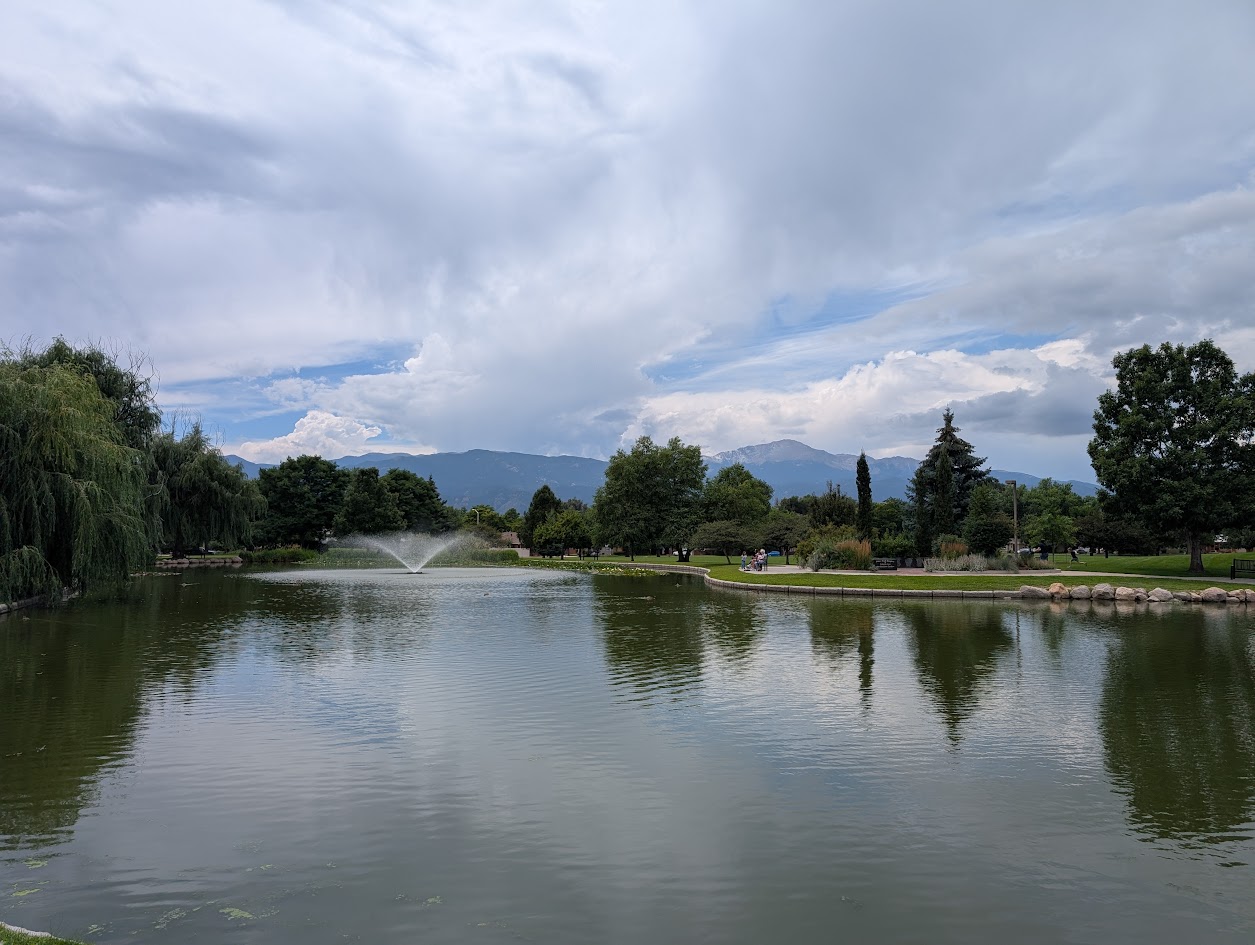
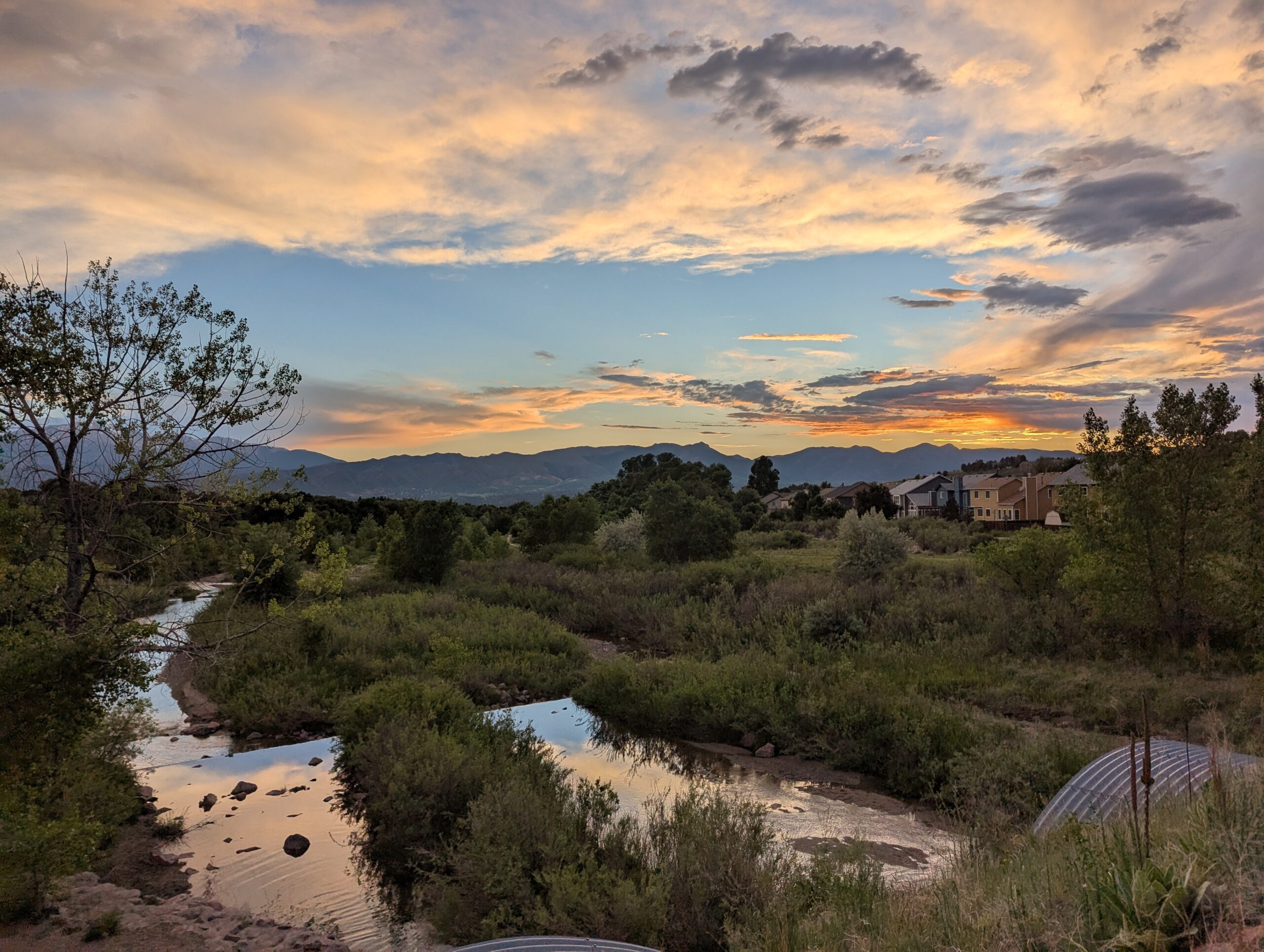
Nancy Lewis Park Nancy Lewis Park is one of Colorado Springs’ most charming neighborhood parks, offering a peaceful setting with a small pond, wetlands, rocks,
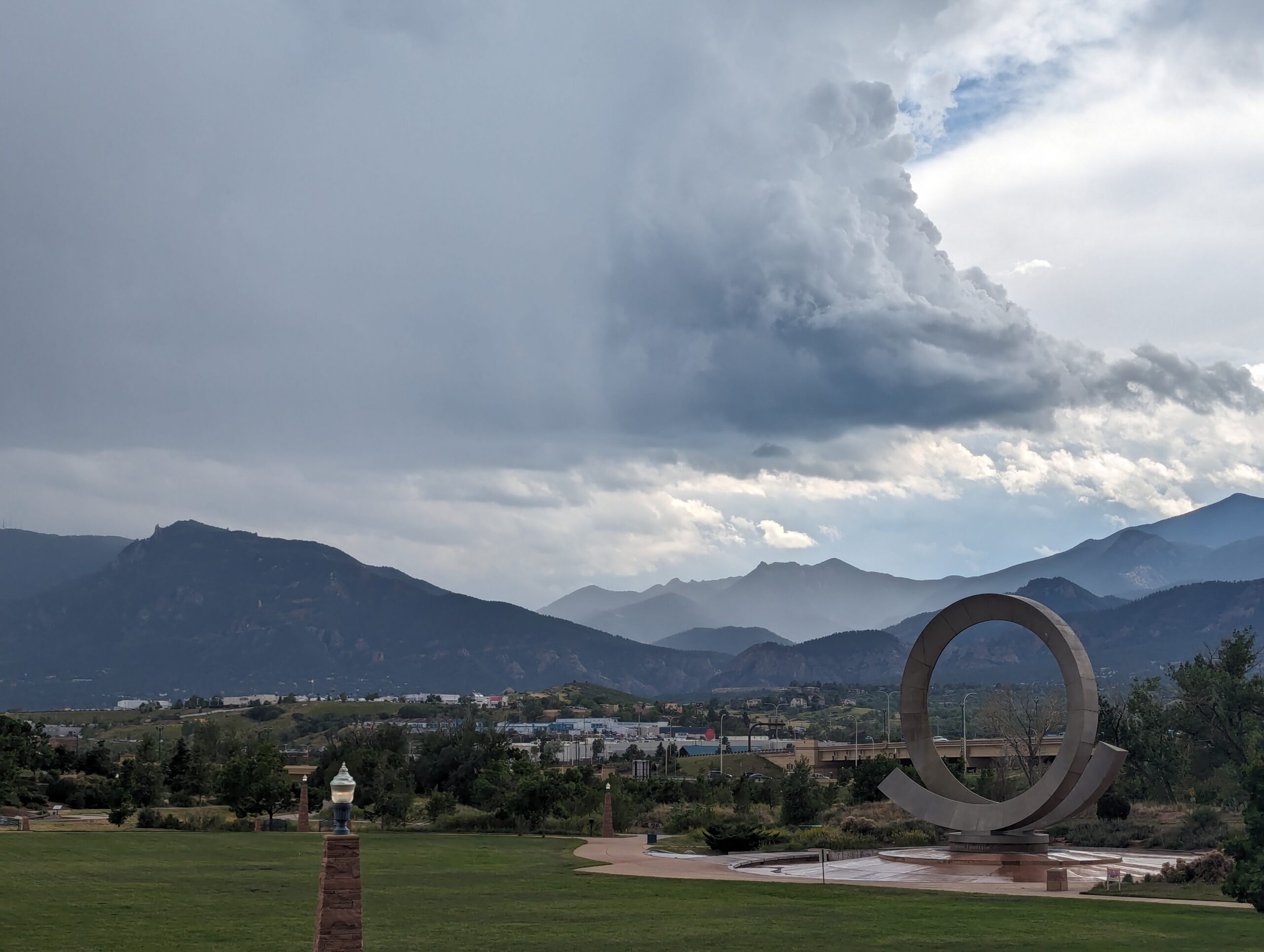
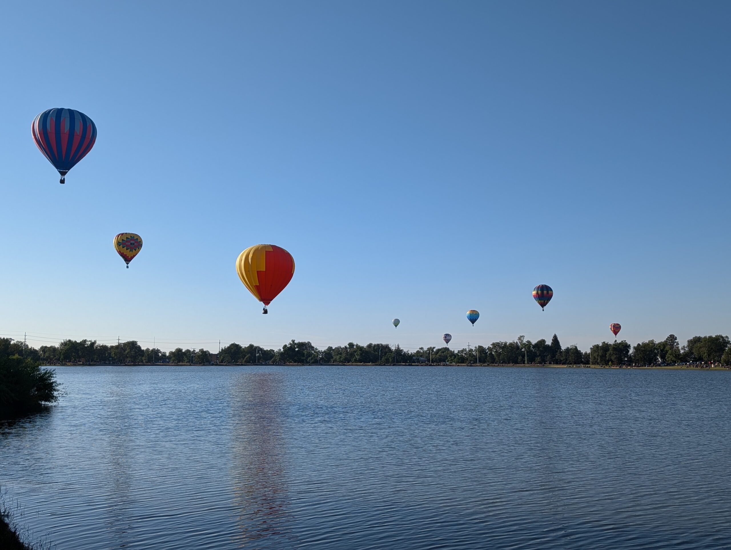
America the Beautiful Park Nestled at the base of Pikes Peak and just steps from downtown Colorado Springs, America the Beautiful Park is a vibrant
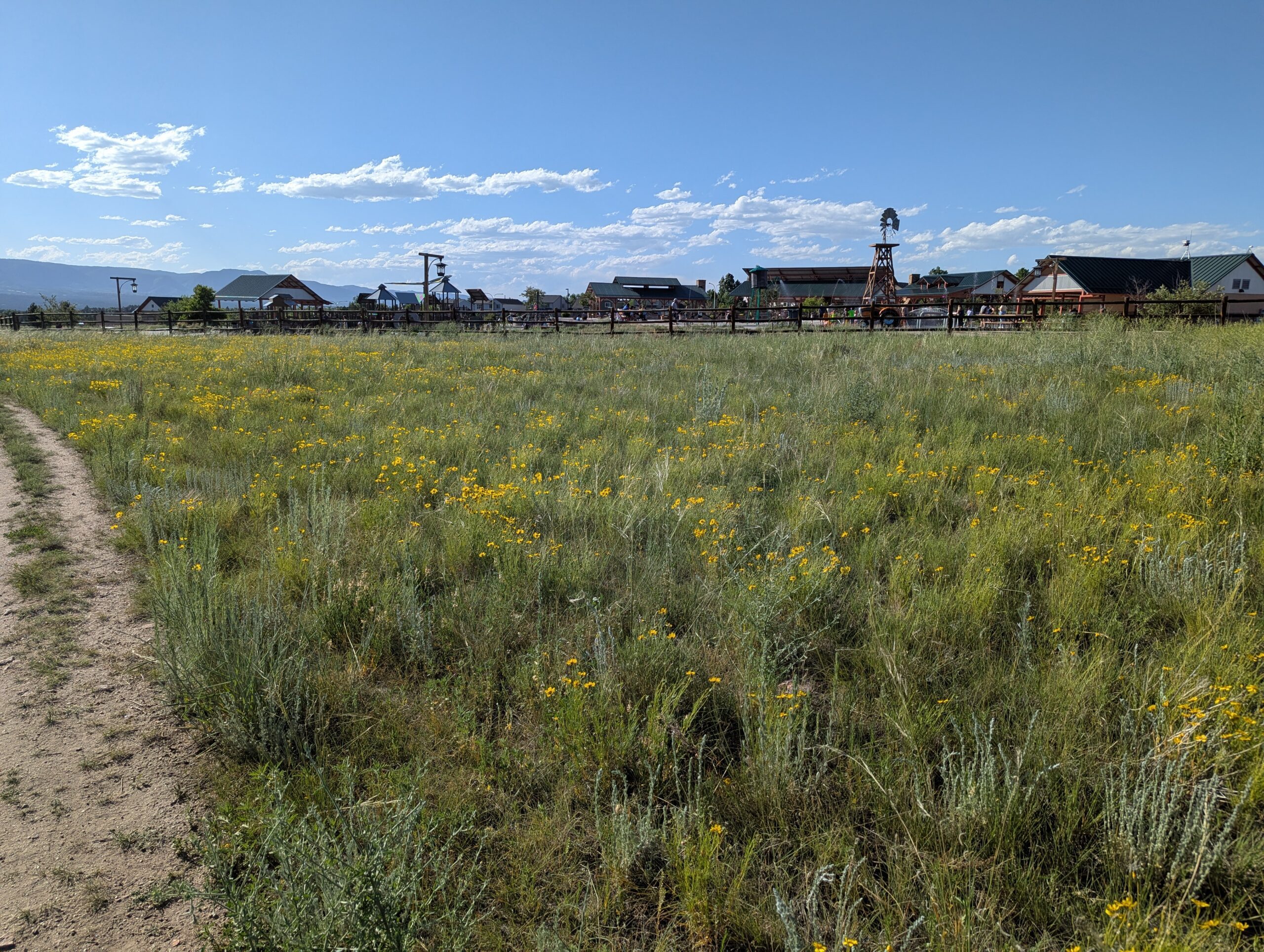
John Venezia Community Park John Venezia Community Park is a 30-acre community gem located on the north side of Colorado Springs. Designed with families in
Memorial Park Memorial Park, one of the largest and most popular parks in Colorado Springs, is a true centerpiece of community life. Spanning 196 acres
Cottonwood Creek Park Cottonwood Creek Park is one of the largest community parks in northeast Colorado Springs, offering more than 70 acres of recreation and
