Palmer-Mesa Trail
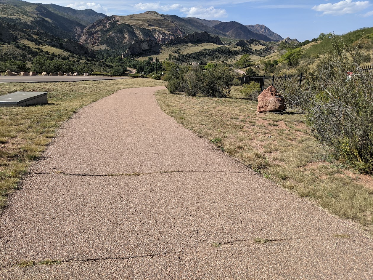
Palmer-Mesa Trail The Palmer Mesa Trail is a multiuse pathway in Colorado Springs that spans approximately 3.5 miles of paved and unpaved surface along Mesa

Palmer-Mesa Trail The Palmer Mesa Trail is a multiuse pathway in Colorado Springs that spans approximately 3.5 miles of paved and unpaved surface along Mesa
Rockrimmon Trail The Rockrimmon Trail is a scenic urban foothills route in northwest Colorado Springs, offering sweeping views of the city, the Front Range, and
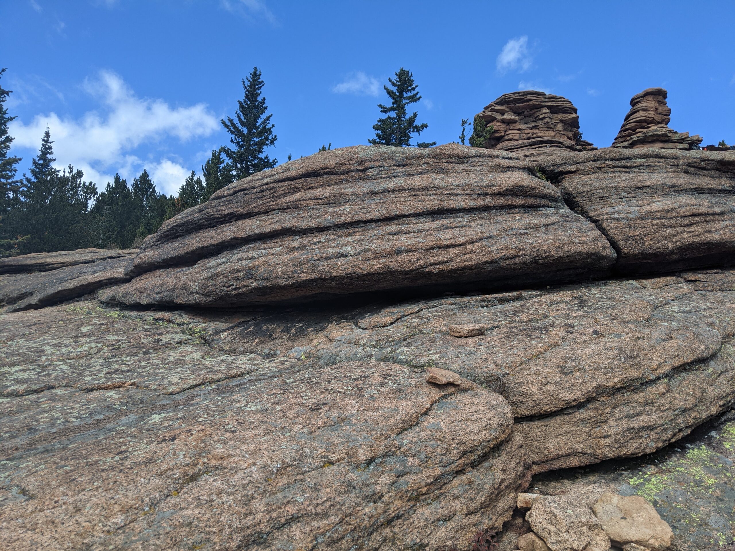
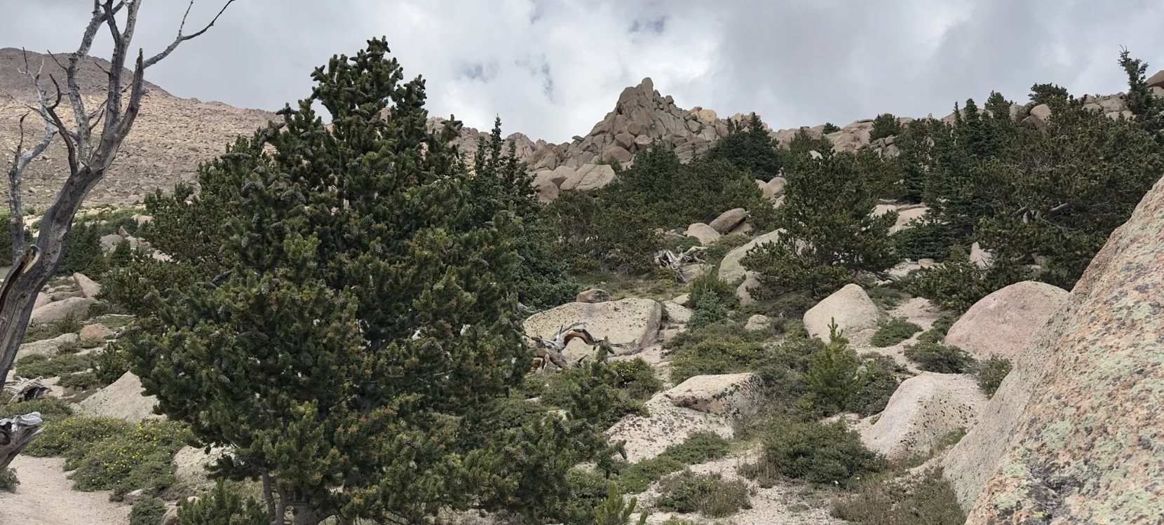
Pancake Rocks Trail The Pancake Rocks Trail near Cripple Creek is one of the most beloved high-country hikes in the Pikes Peak region, famous for
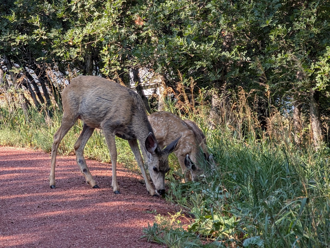
Seven Bridges Trail (#622) The Seven Bridges Trail, also known as Trail #622, is one of the most popular hikes in North Cheyenne Cañon. This
Barr Trail Barr Trail is one of Colorado’s most iconic and challenging hikes, climbing from the base of Manitou Springs to the 14,115-foot summit of

Cottonwood Creek Trail – Colorado Springs, CO Cottonwood Creek Trail is a major east west urban trail in northern Colorado Springs and a key connector

Skyline Trail – Colorado Springs, CO Skyline Trail is a neighborhood focused urban trail in northern Colorado Springs that provides an important north south connection

Sinton Trail – Colorado Springs, CO Sinton Trail is a scenic urban trail in central Colorado Springs that follows Douglas Creek and an adjacent drainage

Sand Creek Trail – Colorado Springs, CO Sand Creek Trail is an evolving multi segment trail system in Colorado Springs that follows Sand Creek through

Rock Island Trail – Colorado Springs, CO The Rock Island Trail in Colorado Springs follows a historic railroad corridor through the heart of the city,
