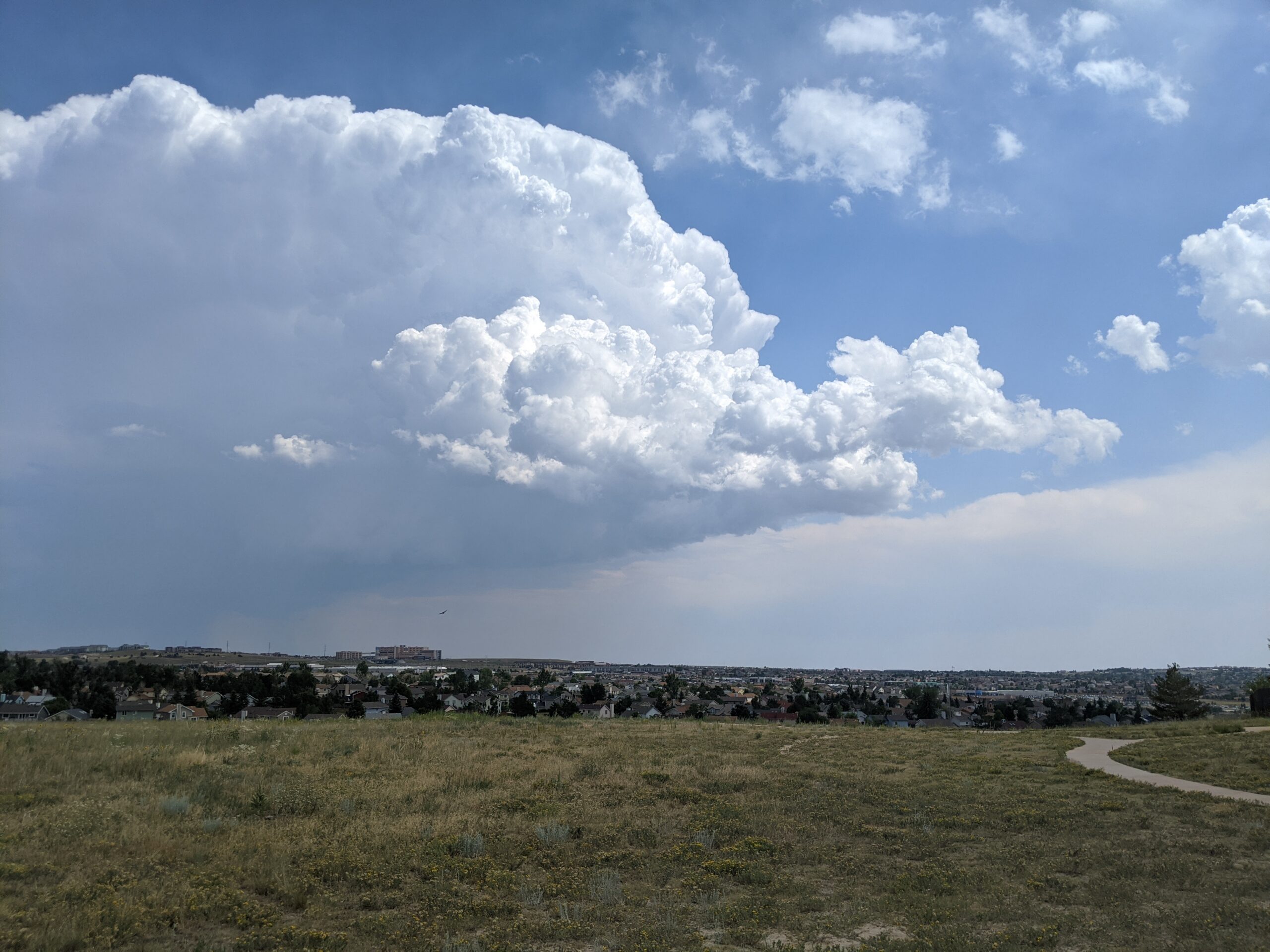
Greenways Park at Sand Creek (City of Colorado Springs)
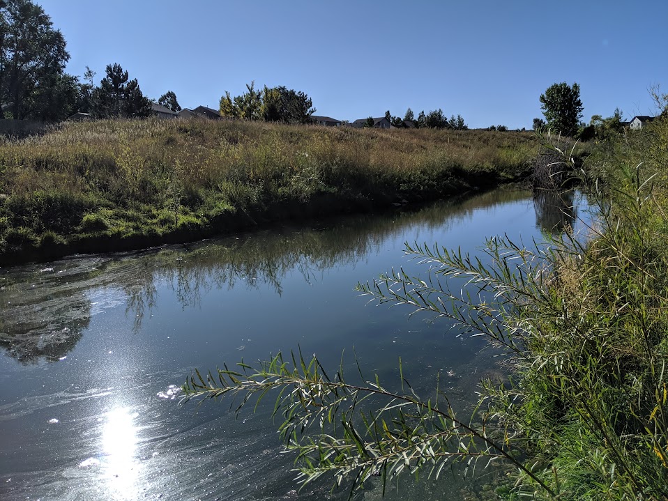
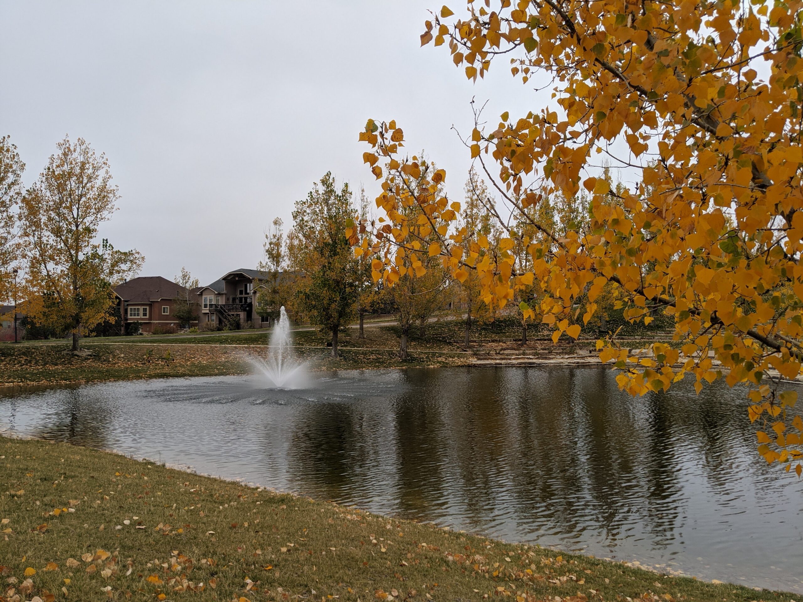
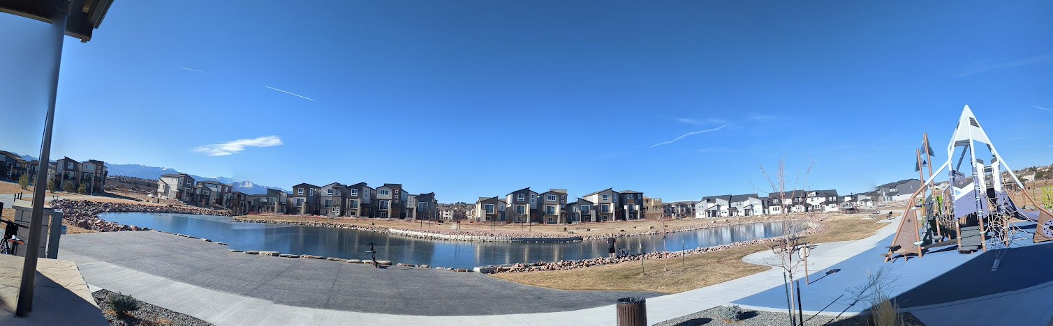
Greenways Park at Sand Creek is a brand-new community park in one of Colorado Springs’ fastest-growing east-side neighborhoods, transforming a former golf course irrigation pond into a vibrant, welcoming outdoor space for residents and visitors alike.
Features
Scenic pond (repurposed from former golf course irrigation pond)
Children’s playground
Event pavilion (reservable)
Large open grass fields
Hammock posts
Picnic areas
Walking/running path
Access to Sand Creek trail corridor
What to Expect A fresh, well-designed community park with a little something for everyone — whether you’re letting the kids loose on the playground, relaxing in a hammock by the pond, hosting a gathering at the pavilion, or just stretching your legs on the walking path. The park has a clean, modern feel and the pond gives it a scenic anchor that sets it apart from a typical neighborhood park.
Nearby The park sits adjacent to Sand Creek trail and is just minutes from First & Main Town Center and the Powers Corridor.
Plan Your Visit
Location: Greenways Main Blvd., Colorado Springs, CO 80922 (off Tutt Blvd., south of N. Carefree Circle)
Parking: On-site parking available
Hours: Open daily, sunrise to sunset Fees: Free
Bancroft Park (City of Colorado Springs)
Bancroft Park is the historic heart of Old Colorado City — a one-block square of green space along Colorado Avenue that has served as a community gathering place since the neighborhood’s founding in 1859. Renovated in 2020, it’s one of the most lively and event-filled neighborhood parks in the city.
Features
Bandshell (reservable for performances and events)
Playground
Picnic shelter and picnic tables
Trail/sidewalk path
Flower gardens
Historic Dr. Garvin log cabin (circa 1867)
Historical marker and displays
Award-winning self-cleaning restrooms (named America’s Best Restroom in 2020)
Wheelchair accessible
What to Expect Bancroft Park is far more than a patch of grass — it’s the cultural hub of Old Colorado City and one of the most charming and active neighborhood parks in Colorado Springs. On any given weekend you might find a farmers market, live music, an art walk, or a community festival. Surrounded by boutique shops, galleries, and restaurants, it’s a perfect spot to anchor a full afternoon in one of the city’s most beloved historic neighborhoods.
Don’t Miss
Territory Days — one of the largest annual festivals in Colorado Springs, held right in the park every Memorial Day weekend
Old Colorado City Saturday Farmers Market — running June through October
Free summer concerts at the bandshell
History Colorado City was founded in 1859 — before Colorado Springs even existed — and briefly served as the first capital of the Territory of Colorado. Bancroft Park occupies what was the original town square. A historic log cabin from that era still stands in the park today. The neighborhood was annexed into Colorado Springs in 1917 and designated a National Historic District in 1983. The park was named for Hubert Howe Bancroft, a prolific 19th-century western history writer, after whose name the former Bancroft School on the site was also named.
Plan Your Visit
Location: 2408 W. Colorado Ave. (W. Colorado Ave. & S. 24th St.), Old Colorado City
Parking: Street parking on Colorado Ave. and surrounding streets
Hours: Open daily Fees: Free
Acacia Park (City of Colorado Springs)
Acacia Park is Colorado Springs’ oldest and most beloved downtown park — a 3.7-acre historic green space donated by city founder General William Jackson Palmer in 1871 and reimagined in recent years with major improvements.
Features
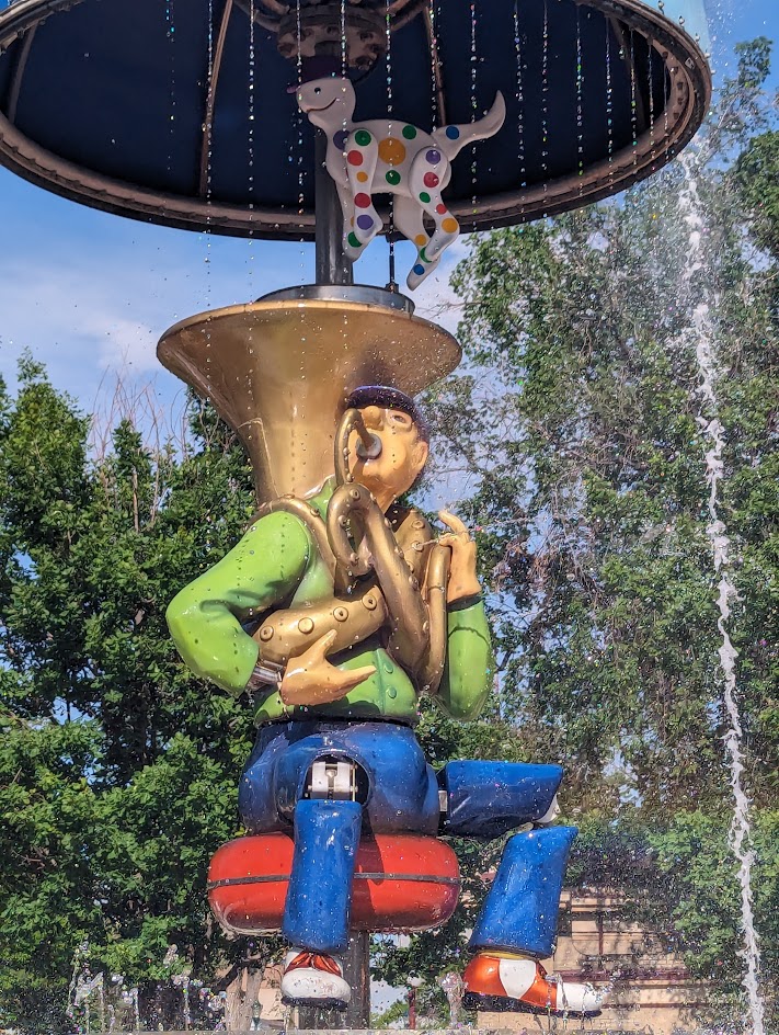
Uncle Wilber Fountain (interactive splash pad with moving sculpture)
Ninja-style climbing structure and tot lot playground (completed 2022)
Bandshell with summer concerts
Shuffleboard courts (open June–mid August)
Outdoor ice skating rink (November–January)
Picnic tables and shade trees
Acacia Park Visitor Hub
Story Coffee (on-site coffee shop)
Wheelchair accessible
What to Expect A lively, year-round community gathering place in the heart of downtown, surrounded by shops, restaurants, and mountain views. Whether you’re grabbing a coffee, letting the kids loose on the climbing structure, cooling off at the fountain in summer, or lacing up skates in winter, there’s always something going on at Acacia Park.
History Donated to the city in 1871, Acacia Park is the first park ever established in Colorado Springs. It has served as a gathering place for the community for more than 150 years and recently underwent a major renovation as part of the Downtown Historic Parks Improvement Project.
Plan Your Visit
Location: 115 E. Platte Ave. / Corner of Tejon St. & Platte Ave., Downtown Colorado Springs
Parking: Metered street parking on all four sides of the park
Hours: Open daily
Fees: Free (ice skating and shuffleboard may have nominal fees)
Flanagan Park (City of Colorado Springs)
Flanagan Park is a neighborhood park offering accessible outdoor space for nearby residents in central Colorado Springs
Features
Open green space
Neighborhood access
Playground
Pavilion
What to Expect A simple, local park designed for casual use, play, and getting outside close to home.
Plan Your Visit Location:3132 N. Prospect Street Parking: Street parking nearby Hours: Sunrise to sunset Fees: Free
Explorer Park (City of Colorado Springs)
Explorer Park is a 7.3-acre Briargate neighborhood park with a mix of recreation features and pedestrian-friendly design in northeastern Colorado Springs.
Features
Playground
Inline hockey court
Picnic shelter
Walking paths throughout the park
Natural Area
Trail connection to Briargate Trail
What to Expect A well-designed park with a balance of active recreation and walkable space for families and neighbors.
Plan Your Visit Location: 4260 Bardot Dr. Parking: Street parking available Hours: Sunrise to sunset Fees: Free
Cheyenne Meadows Park (City of Colorado Springs)
Cheyenne Meadows Park is a 20.5-acre community park offering a wide range of recreational amenities and nearby access to additional facilities in southwest Colorado Springs.
Features
Playground
Basketball court
Baseball/softball fields
Soccer/football field
Horseshoe pits
Picnic shelter
Dog park nearby
Views of Cheyenne Mountain
What to Expect A large, activity-rich park that serves as a hub for sports, gatherings, and family outings, with something for nearly everyone.
Plan Your Visit Location: 3868 Glen Meadow Dr. Parking: Street parking and nearby access points Hours: Sunrise to sunset Fees: Free
Candleflower Park (City of Colorado Springs)
Candleflower Park is a 5-acre neighborhood park designed for everyday use and easy access in northeastern Colorado Springs.
Features
Playground
Open play area
Walkways throughout the park
Access to the Briargate Trail
What to Expect A walkable neighborhood park with simple amenities, ideal for families and casual outdoor time.
Plan Your Visit Location: 7690 Contrails Dr. Parking: Street parking nearby Hours: Sunrise to sunset Fees: Free
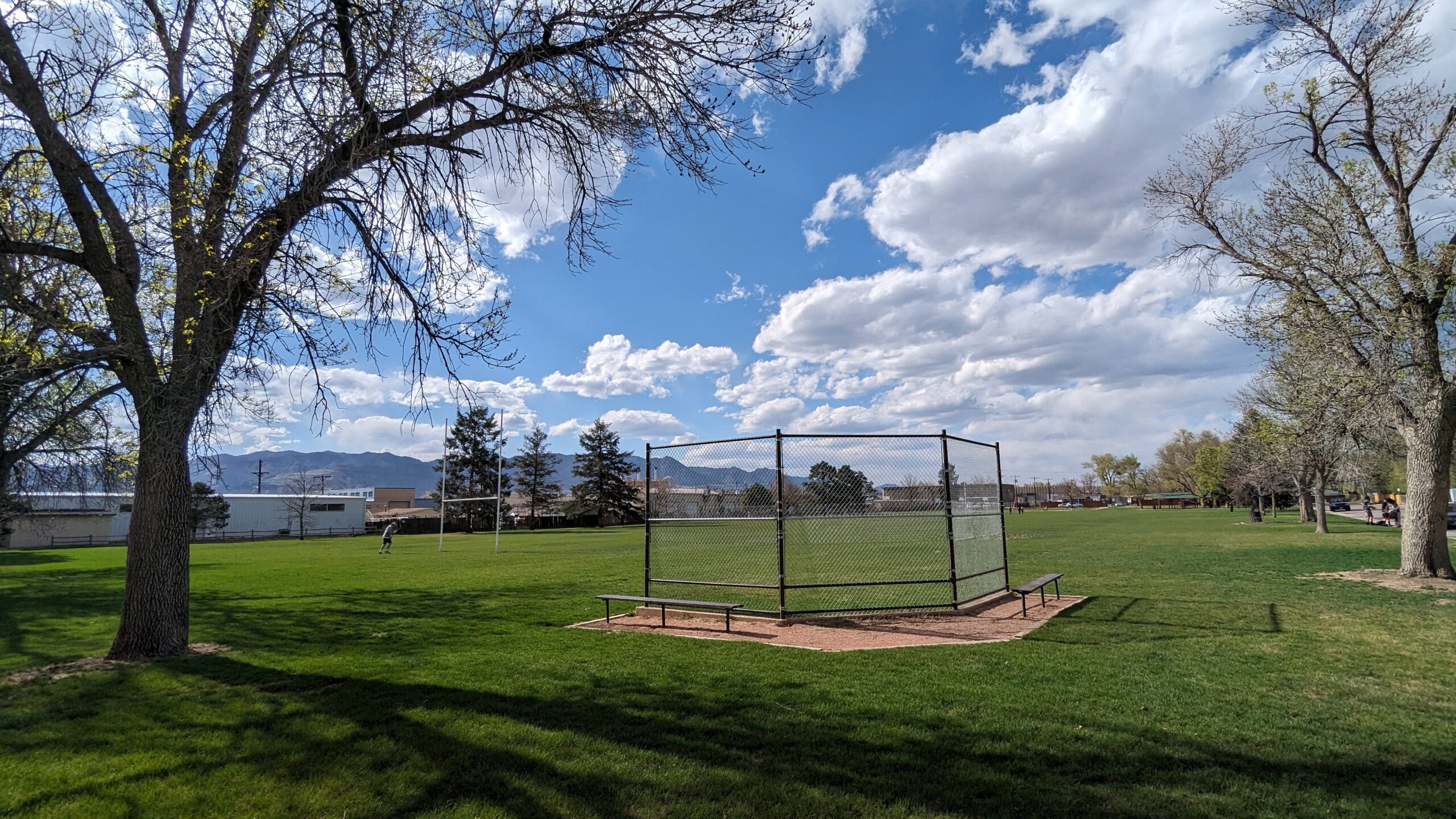
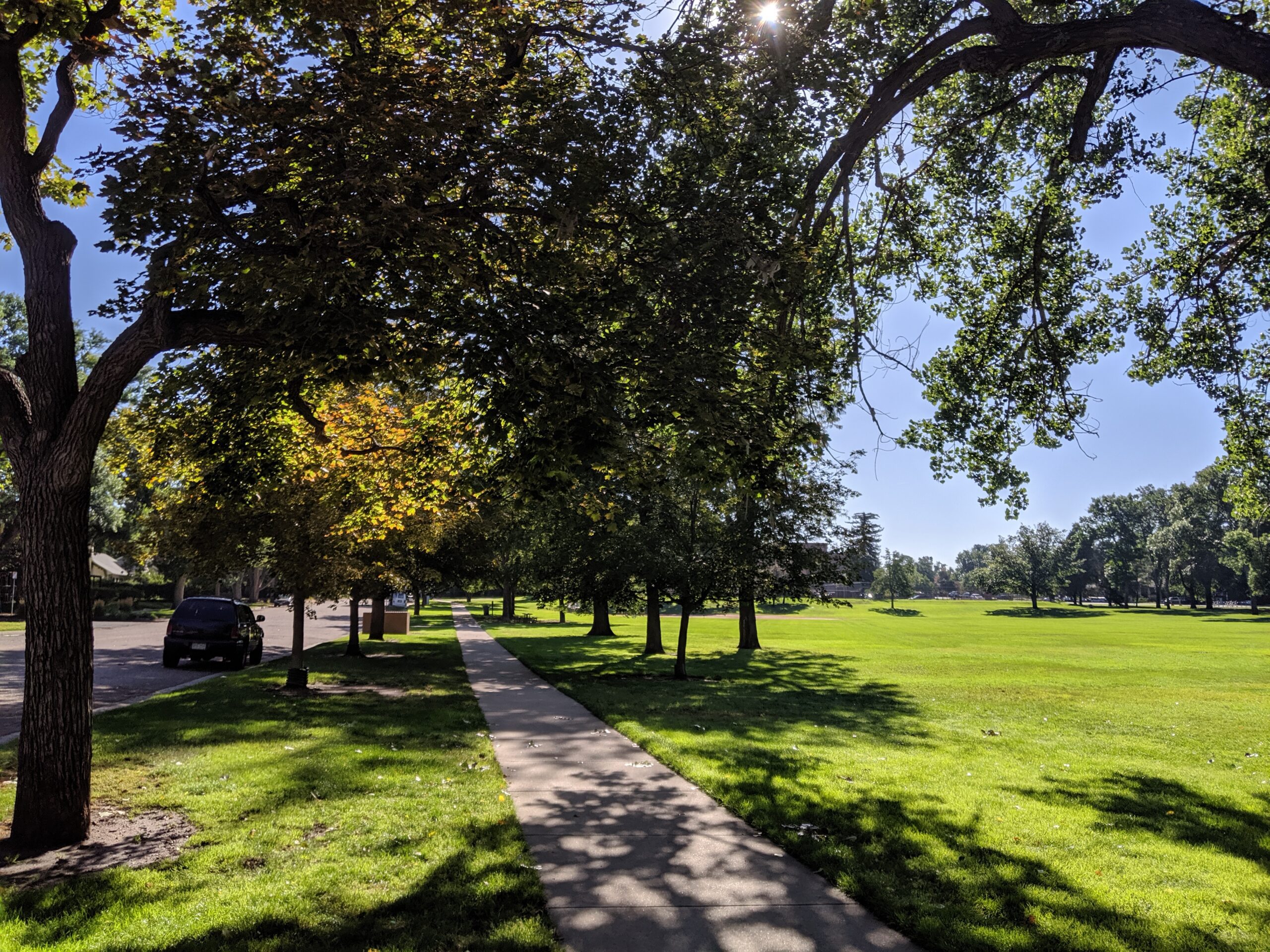
Boulder Park (City of Colorado Springs)
Boulder Park is a 7.2-acre community park near downtown and Memorial Hospital – Central, offering a variety of sports fields and open areas.
Features
Playground
Basketball court
Baseball/softball field
Football/soccer field
Open space for informal recreation
Rare trees planted around the park
Interpretive signage
What to Expect A larger neighborhood park that supports both organized sports and everyday use, with plenty of room to spread out.
Plan Your Visit Location:1210 E. Boulder St. Parking: Street parking nearby Hours: Sunrise to sunset Fees: Free