Lost Canyon Ranch Open Space
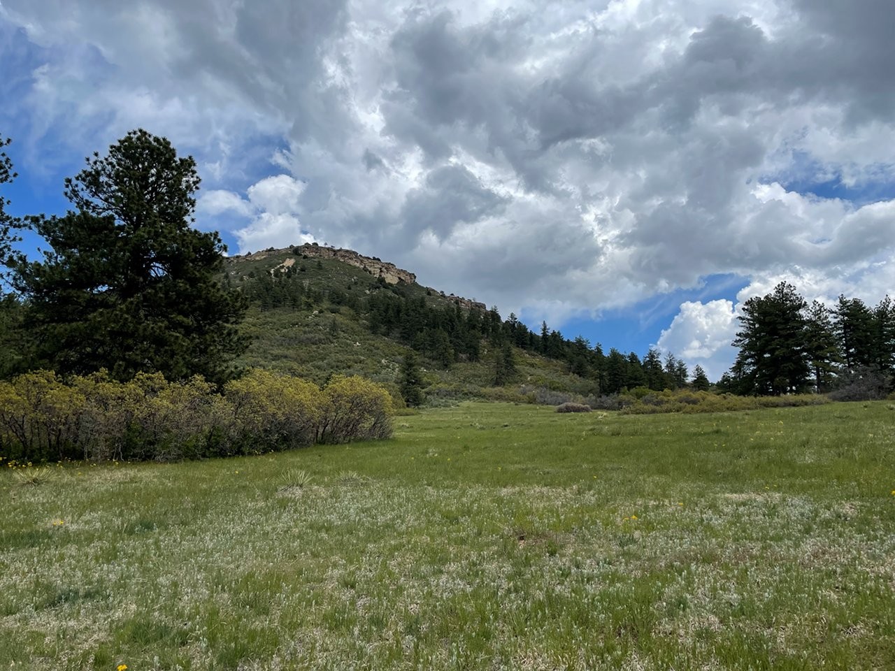
Lost Canyon Ranch Open Space Located in Castle Rock, Lost Canyon Ranch Open Space is now open to the public and stands as the largest

Lost Canyon Ranch Open Space Located in Castle Rock, Lost Canyon Ranch Open Space is now open to the public and stands as the largest
Columbine Open Space Located just south of Castle Rock along East Plum Creek, Columbine Open Space is a 368-acre property that offers easy loop trails,
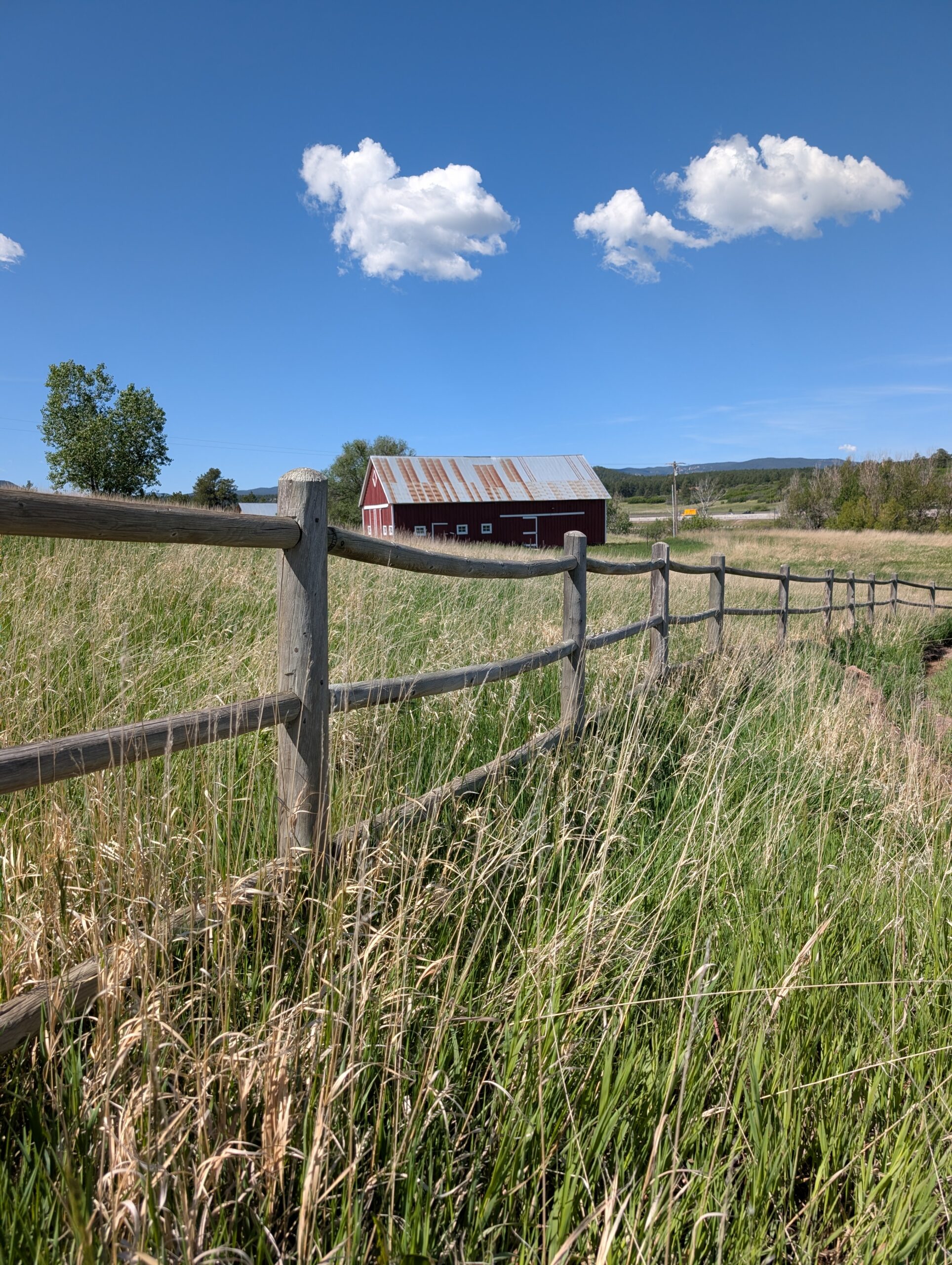
Dawson Butte Open Space Located about five miles south of Castle Rock, Dawson Butte Open Space is an 828-acre property known for its gently rolling
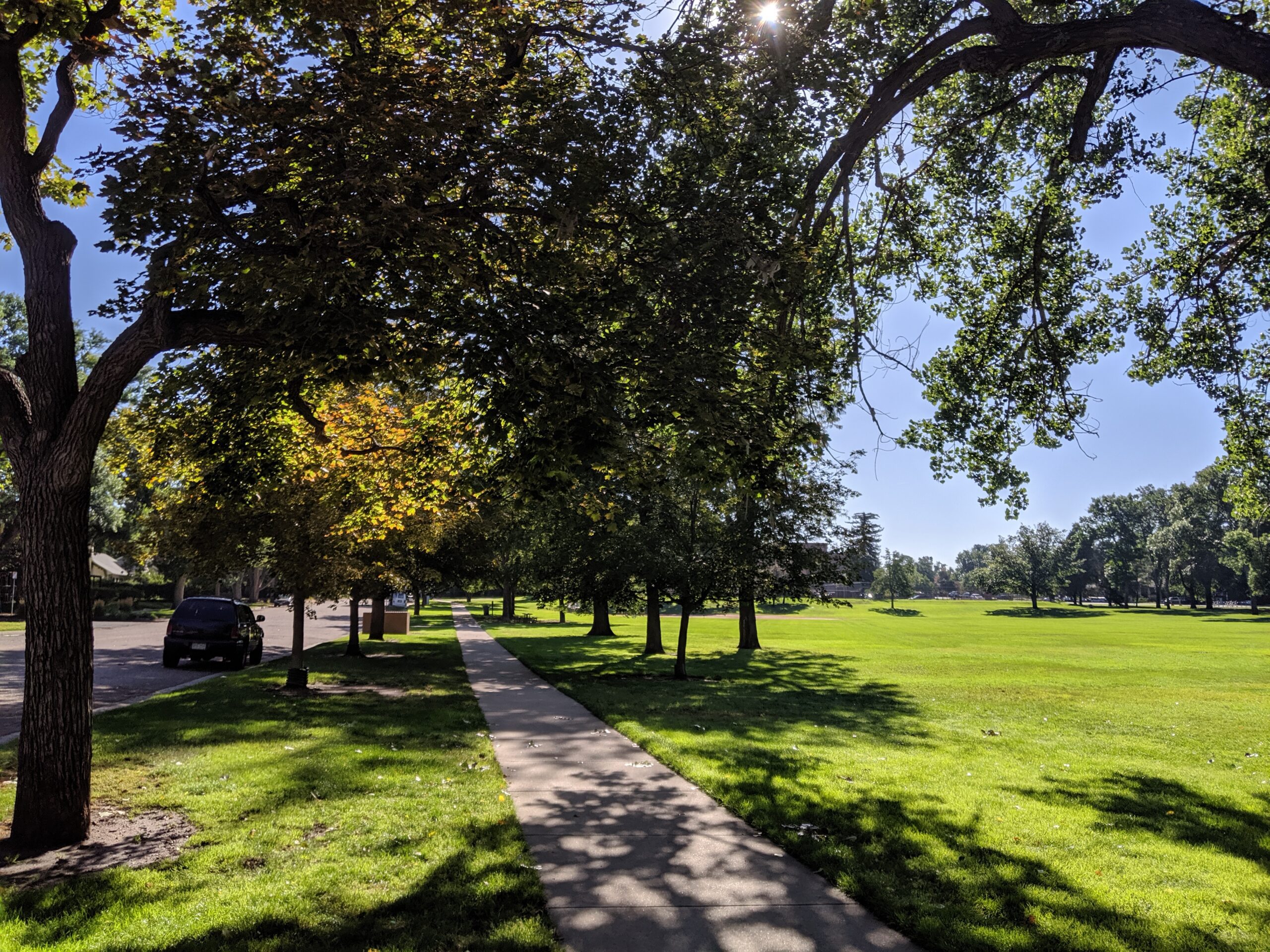
Boulder Park (City of Colorado Springs) Boulder Park is a 7.2-acre community park near downtown and Memorial Hospital – Central, offering a variety of sports
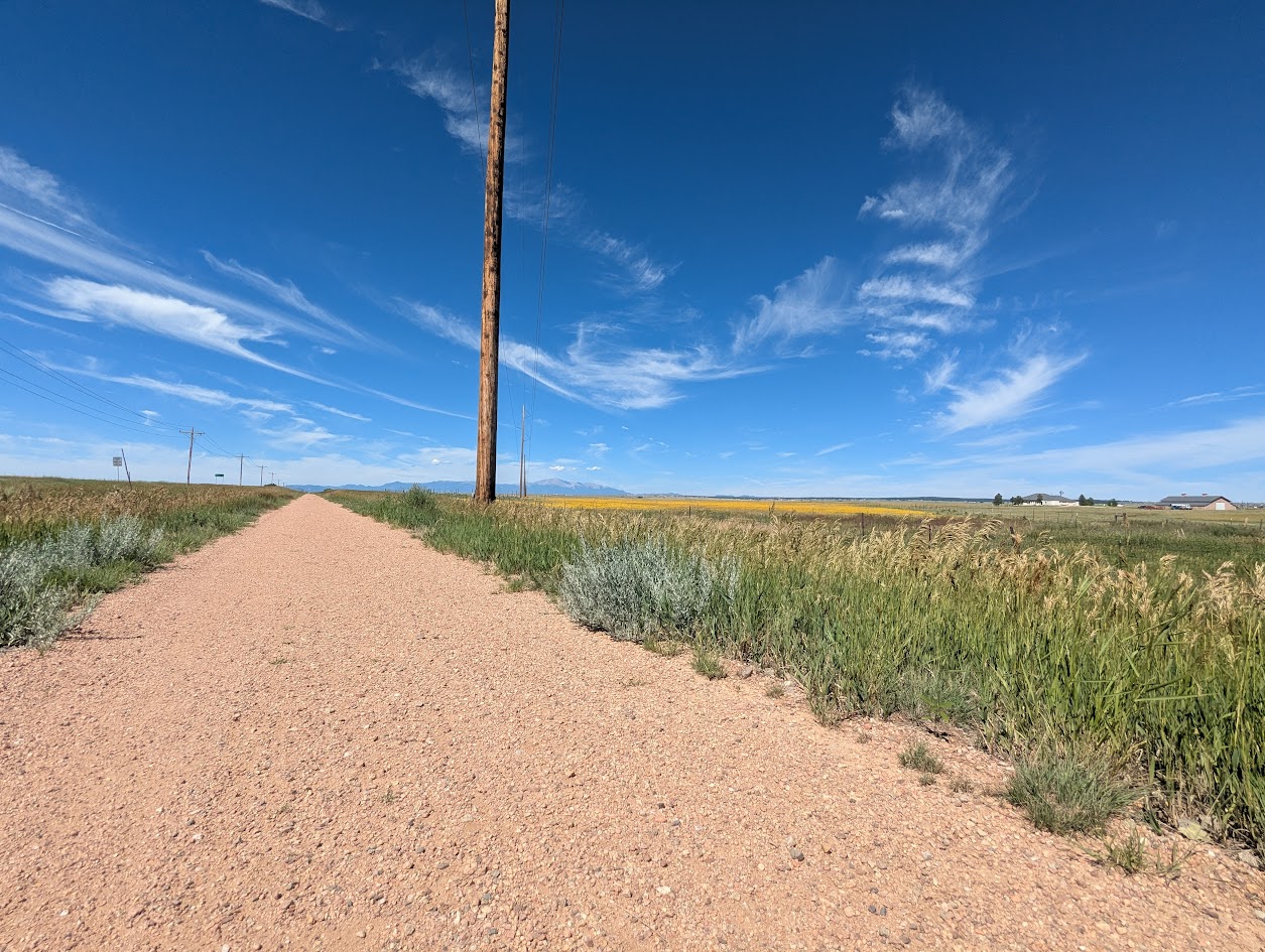
Rock Island Regional Trail – Falcon and Peyton, CO East of Colorado Springs, the Rock Island Regional Trail continues through Falcon and Peyton along the
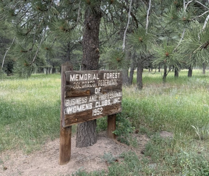
Women’s Forest Trail (Women’s Federation Forest) – Divide, CO The Women’s Forest Trail, also known as the Women’s Federation Forest, is a special hiking area
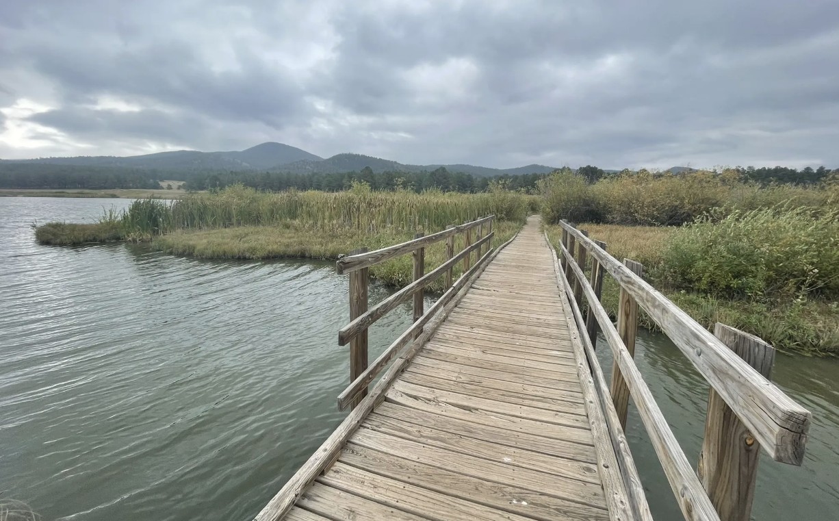
Manitou Lake Manitou Lake is a 5-acre reservoir north of Woodland Park that offers a family-friendly setting for fishing, hiking, and picnicking against the backdrop

Monument Preserve Located just west of the town of Monument, the Monument Preserve is a beloved local open space known for its extensive trail network,
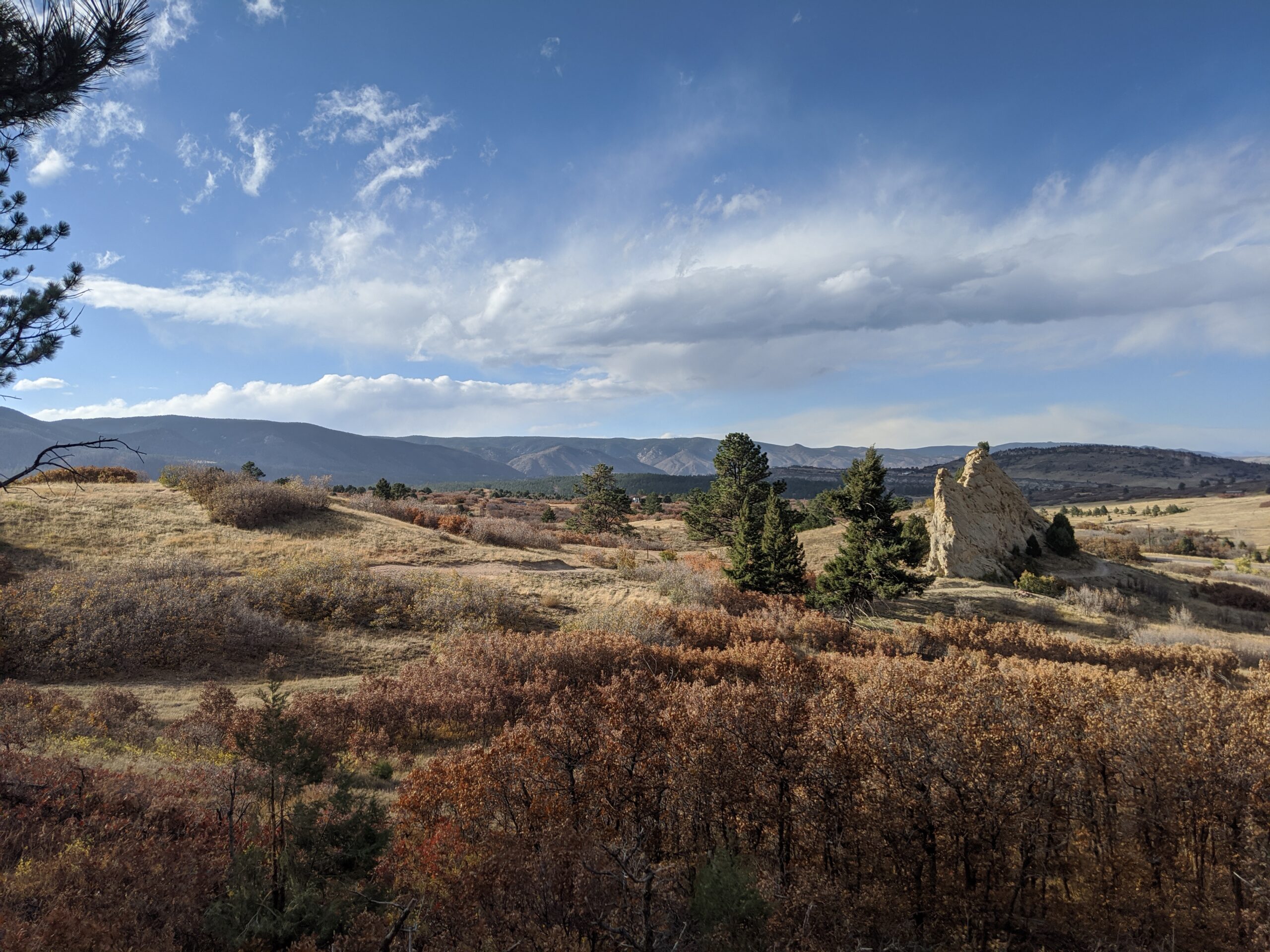
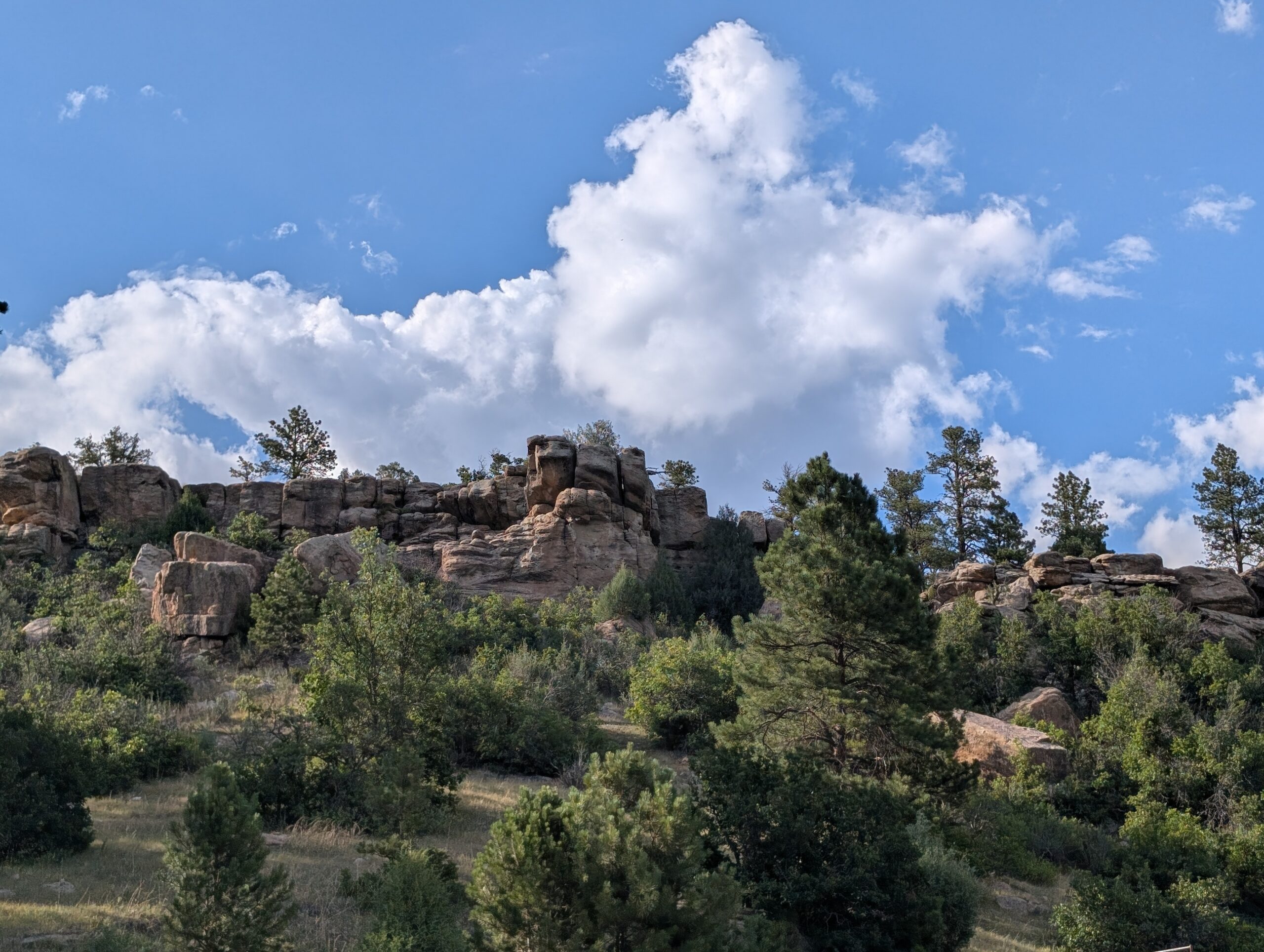
Sandstone Ranch Open Space (Douglas County) Nestled along the Front Range between Larkspur and Perry Park, Sandstone Ranch Open Space is a 2,038-acre property offering
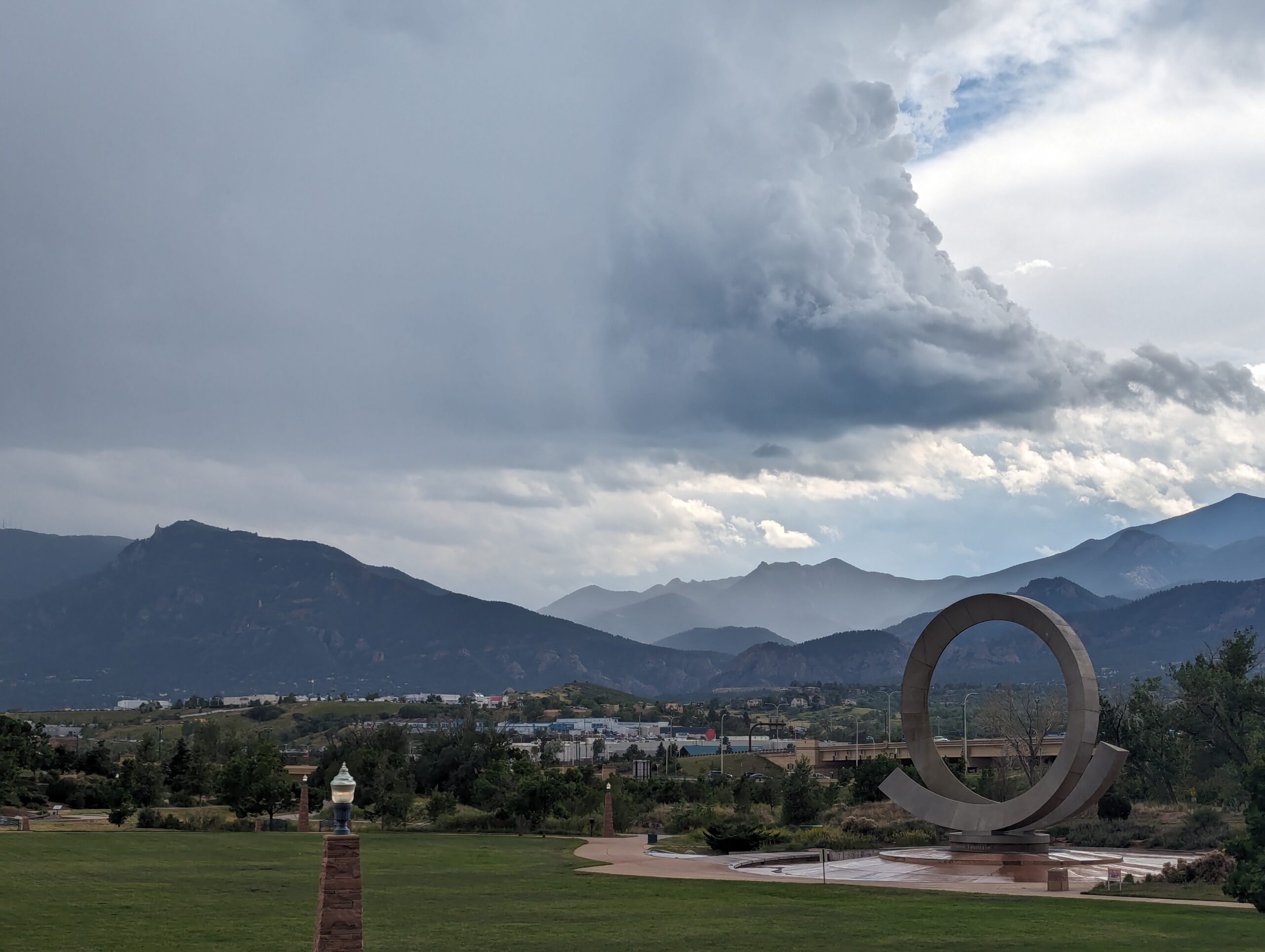
America the Beautiful Park Nestled at the base of Pikes Peak and just steps from downtown Colorado Springs, America the Beautiful Park is a vibrant
