Pancake Rocks Trail
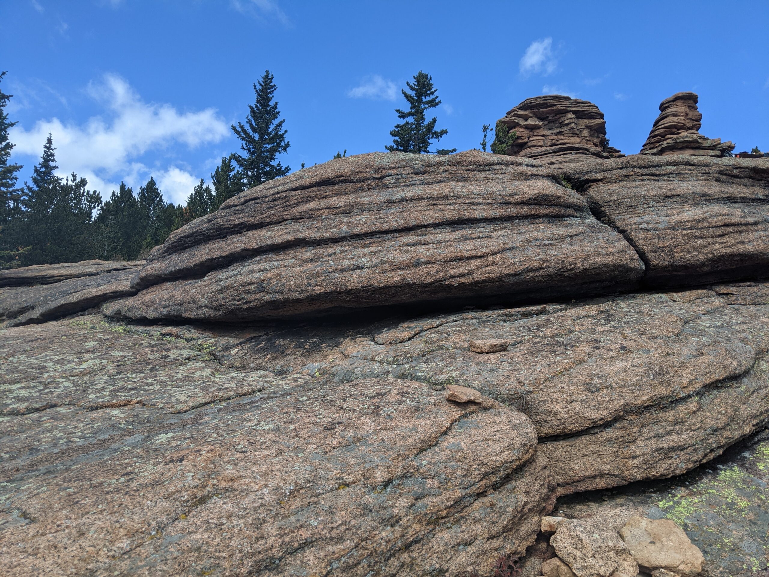
Pancake Rocks Trail The Pancake Rocks Trail near Cripple Creek is one of the most beloved high-country hikes in the Pikes Peak region, famous for

Pancake Rocks Trail The Pancake Rocks Trail near Cripple Creek is one of the most beloved high-country hikes in the Pikes Peak region, famous for
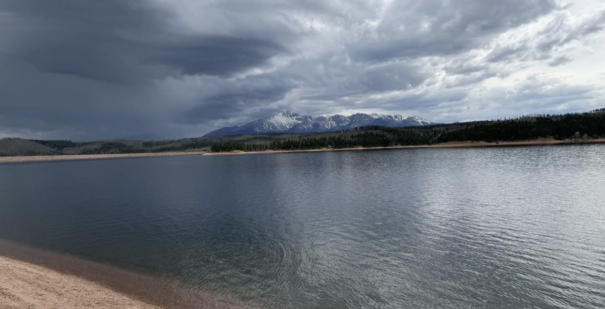
Rampart Reservoir Recreation Area Rampart Reservoir Recreation Area, located just outside Woodland Park on the north slope of Pikes Peak, is one of the premier
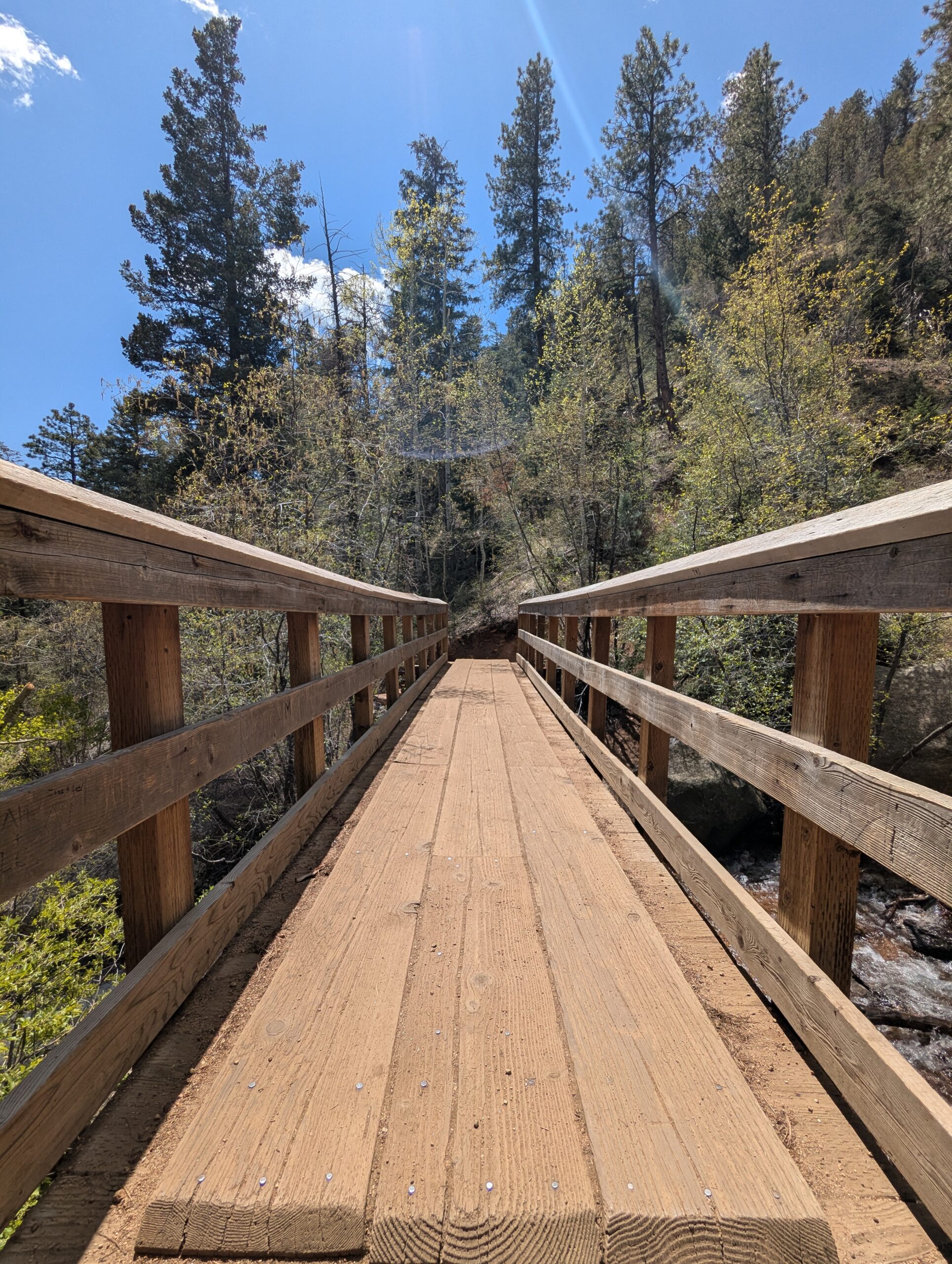
Seven Bridges Trail (#622) The Seven Bridges Trail, also known as Trail #622, is one of the most popular hikes in North Cheyenne Cañon. This
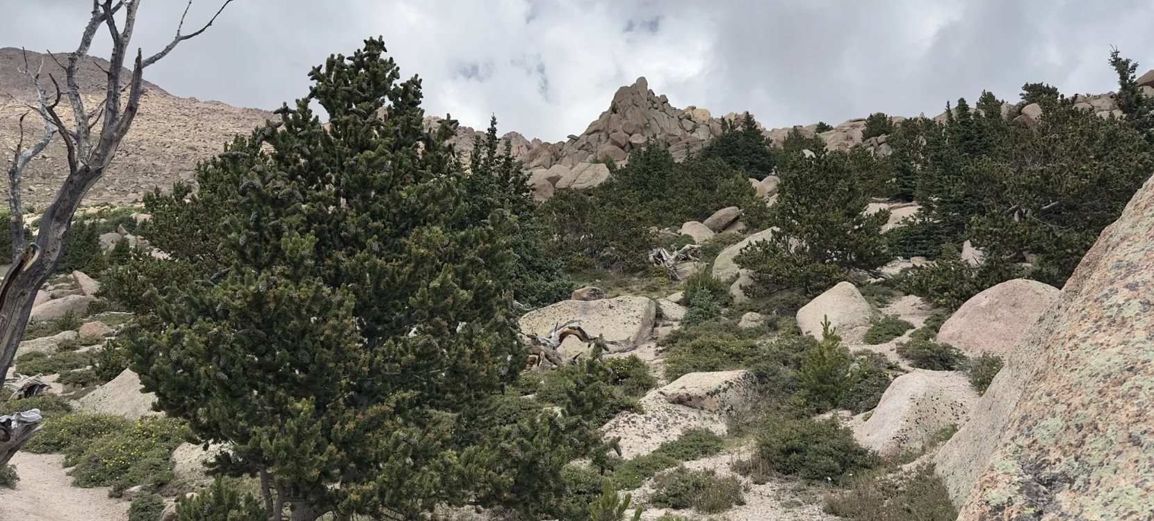
Barr Trail Barr Trail is one of Colorado’s most iconic and challenging hikes, climbing from the base of Manitou Springs to the 14,115-foot summit of
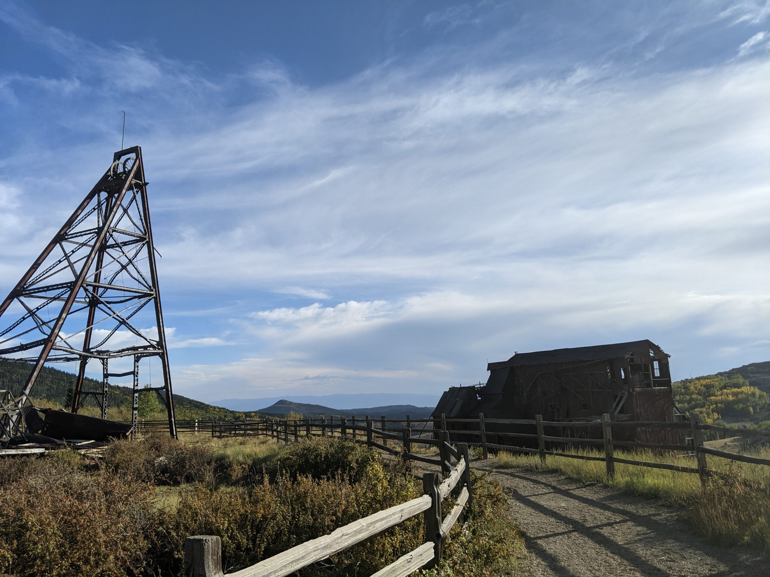
Vindicator Valley Trail Vindicator Valley Trail in Victor, Colorado, offers a fascinating blend of outdoor recreation, mining history, and scenic beauty in the heart of
Bear Creek Regional Park Bear Creek Regional Park is a sprawling 545 acre park nestled in the foothills of Colorado Springs, operated by El Paso
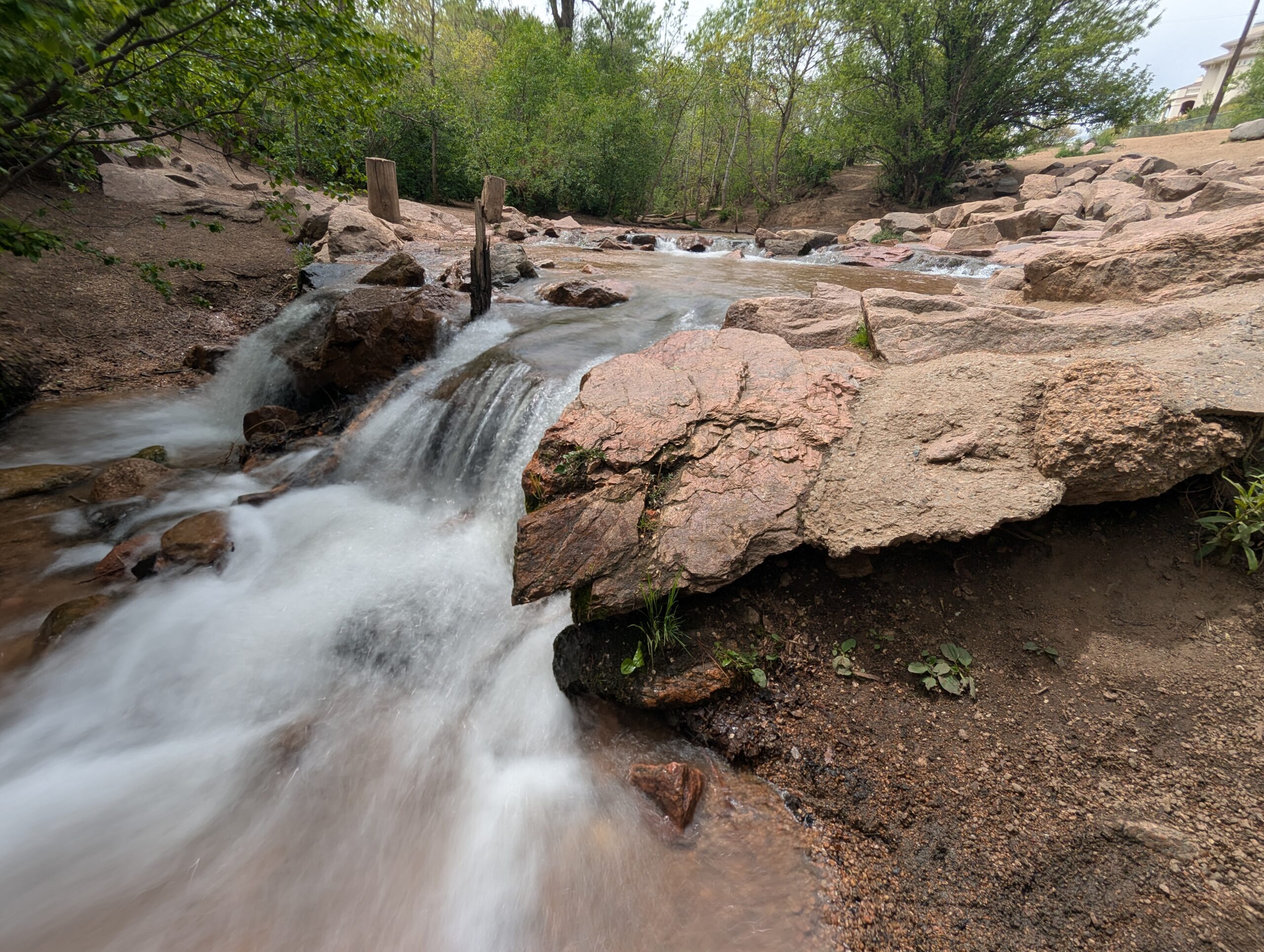
Cattail Marsh Wildlife Area Cattail Marsh Wildlife Area in Fountain, CO is a quiet oasis tucked along the banks of Fountain Creek, offering one of
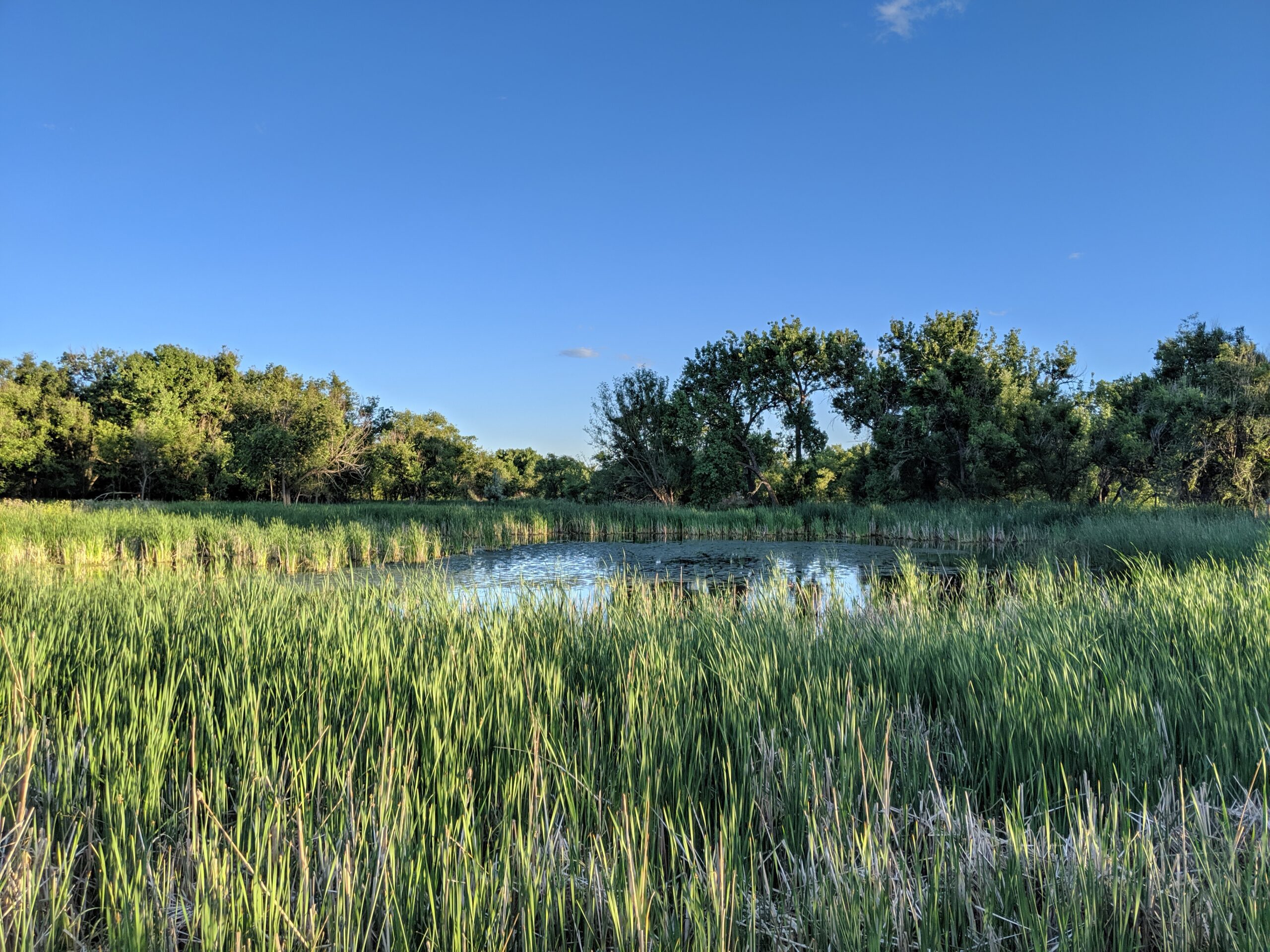
Fountain Creek Regional Park Fountain Creek Regional Park is one of El Paso County’s most beloved natural areas, stretching along the cottonwood-lined banks of Fountain
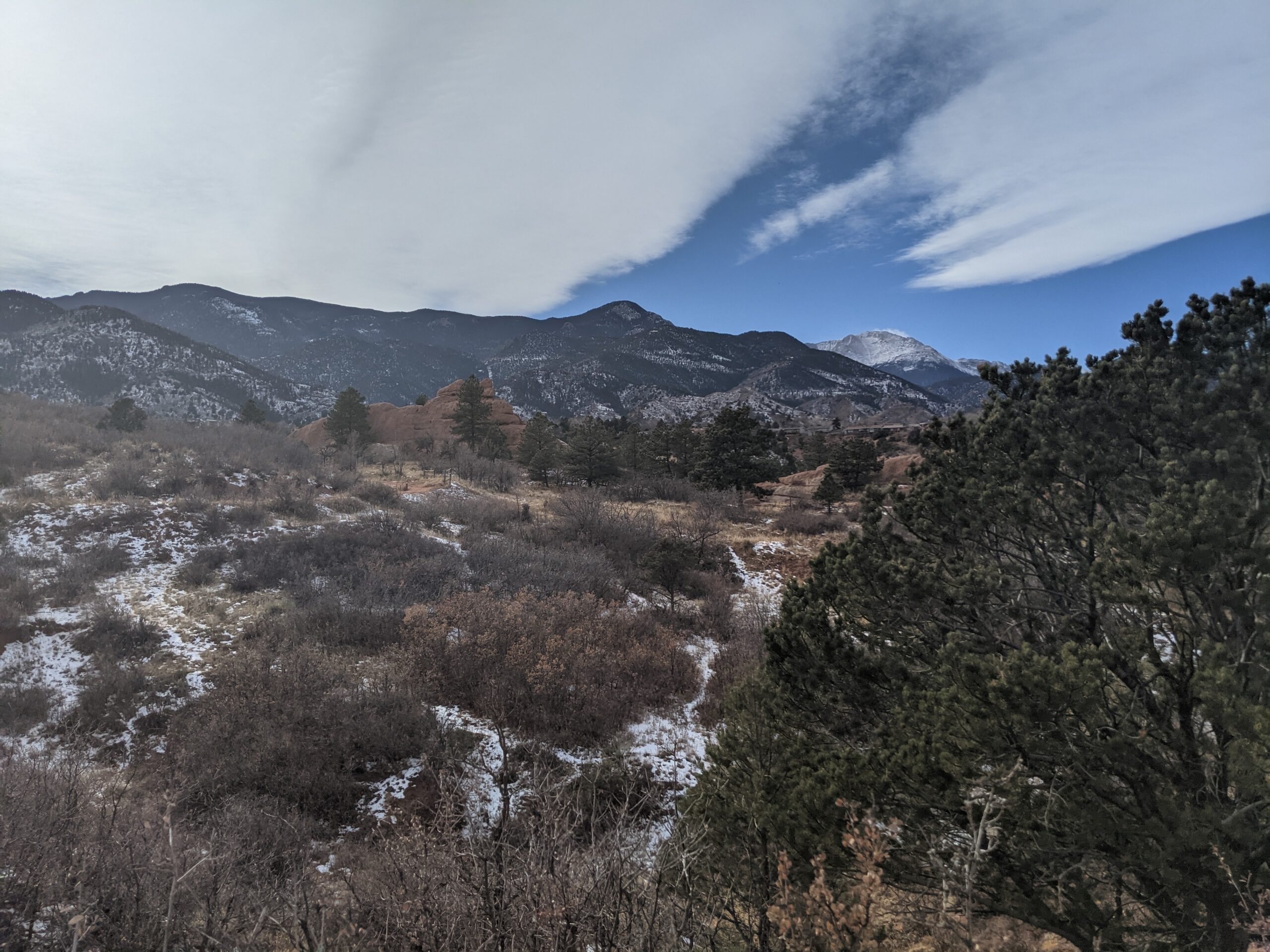
Red Rock Canyon Open Space Red Rock Canyon Open Space is a 1,470-acre city preserve on the west side of Colorado Springs, showcasing tilted red-sandstone
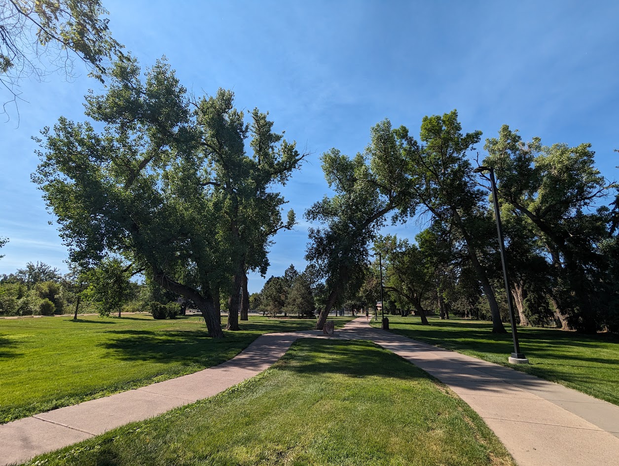
Monument Valley Park Monument Valley Park, stretching along Monument Creek in the heart of Colorado Springs, is one of the city’s most historic and beloved
