Lost Canyon Ranch Open Space
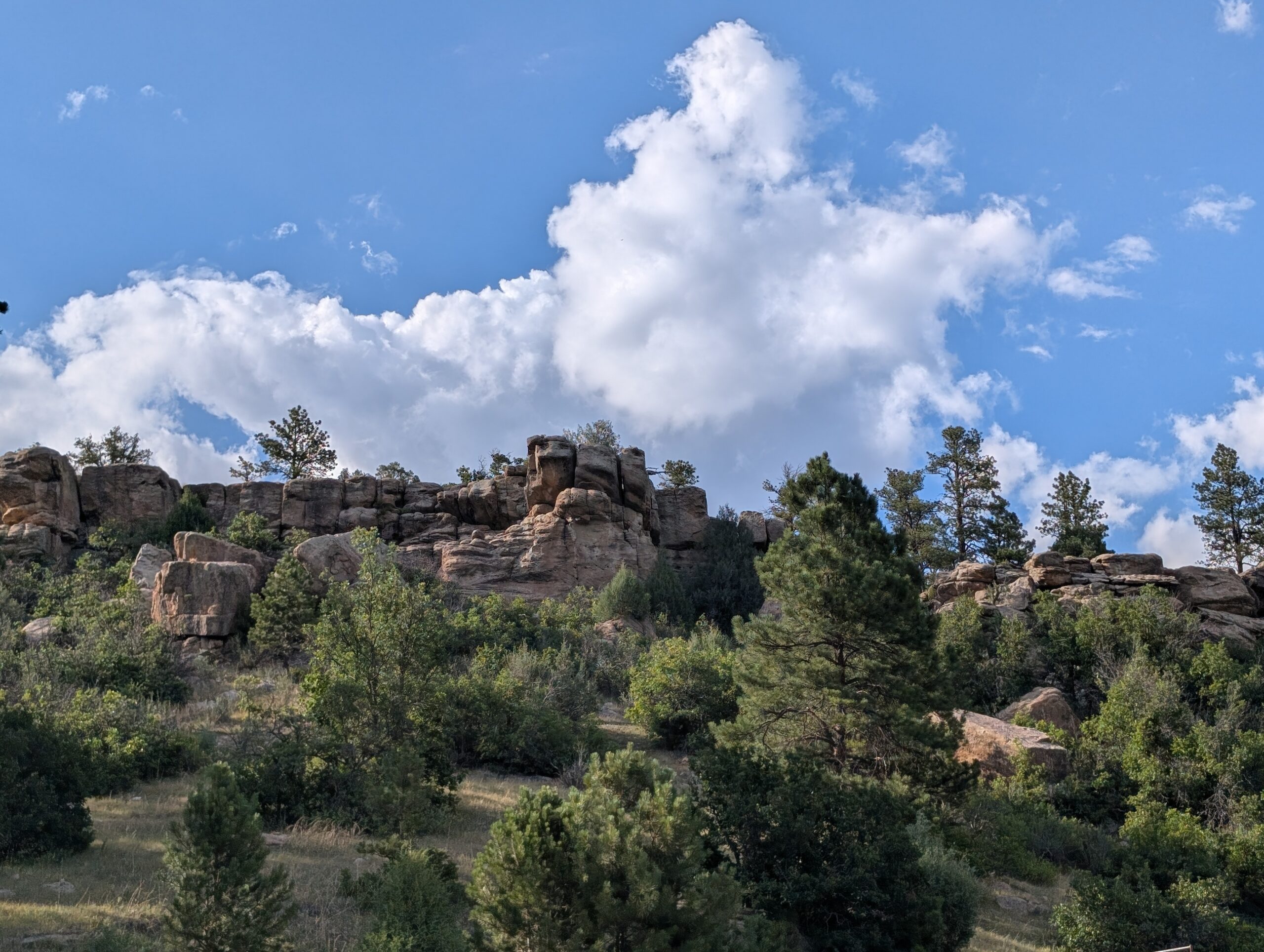
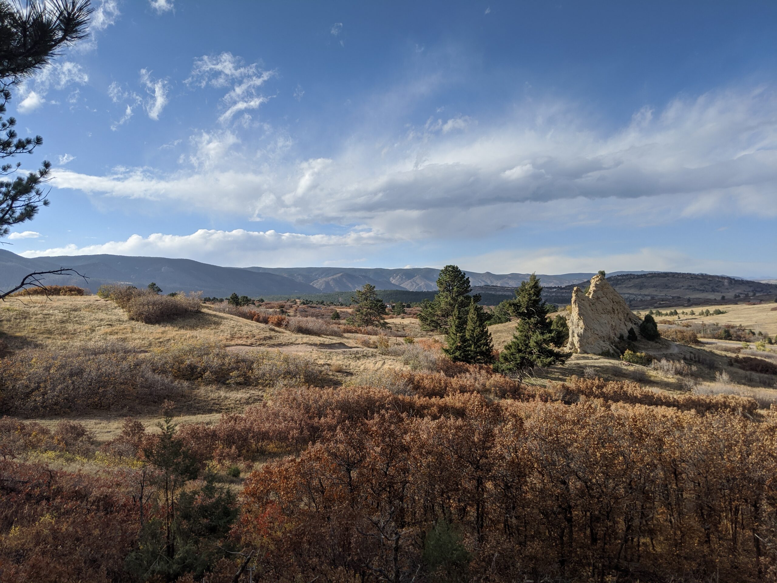
Lost Canyon Ranch Open Space Located in Castle Rock, Lost Canyon Ranch Open Space is now open to the public and stands as the largest

Lost Canyon Ranch Open Space Located in Castle Rock, Lost Canyon Ranch Open Space is now open to the public and stands as the largest
Columbine Open Space Located just south of Castle Rock along East Plum Creek, Columbine Open Space is a 368-acre property that offers easy loop trails,
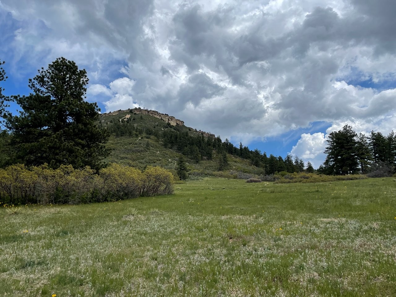
Dawson Butte Open Space Located about five miles south of Castle Rock, Dawson Butte Open Space is an 828-acre property known for its gently rolling
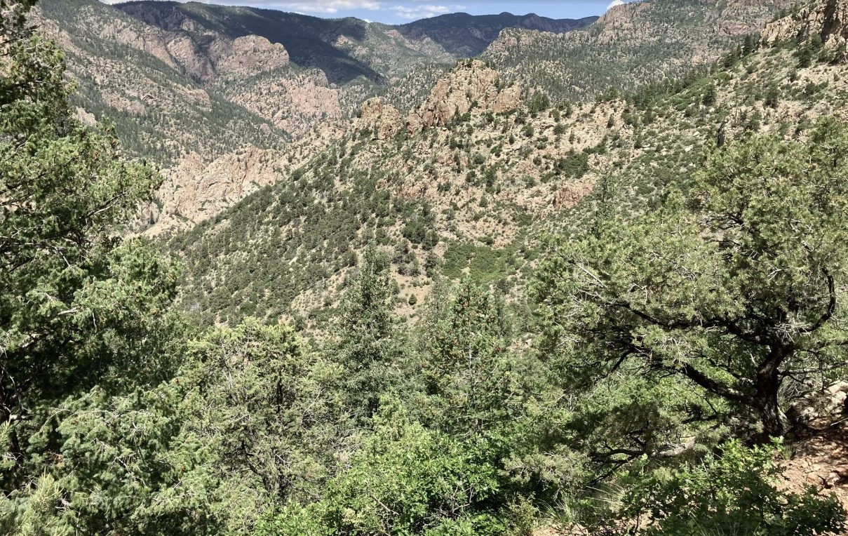
Beaver Creek Wilderness Study Area The Beaver Creek Wilderness Study Area (WSA) is a rugged and remote backcountry gem managed by the Bureau of Land

Monument Preserve Located just west of the town of Monument, the Monument Preserve is a beloved local open space known for its extensive trail network,
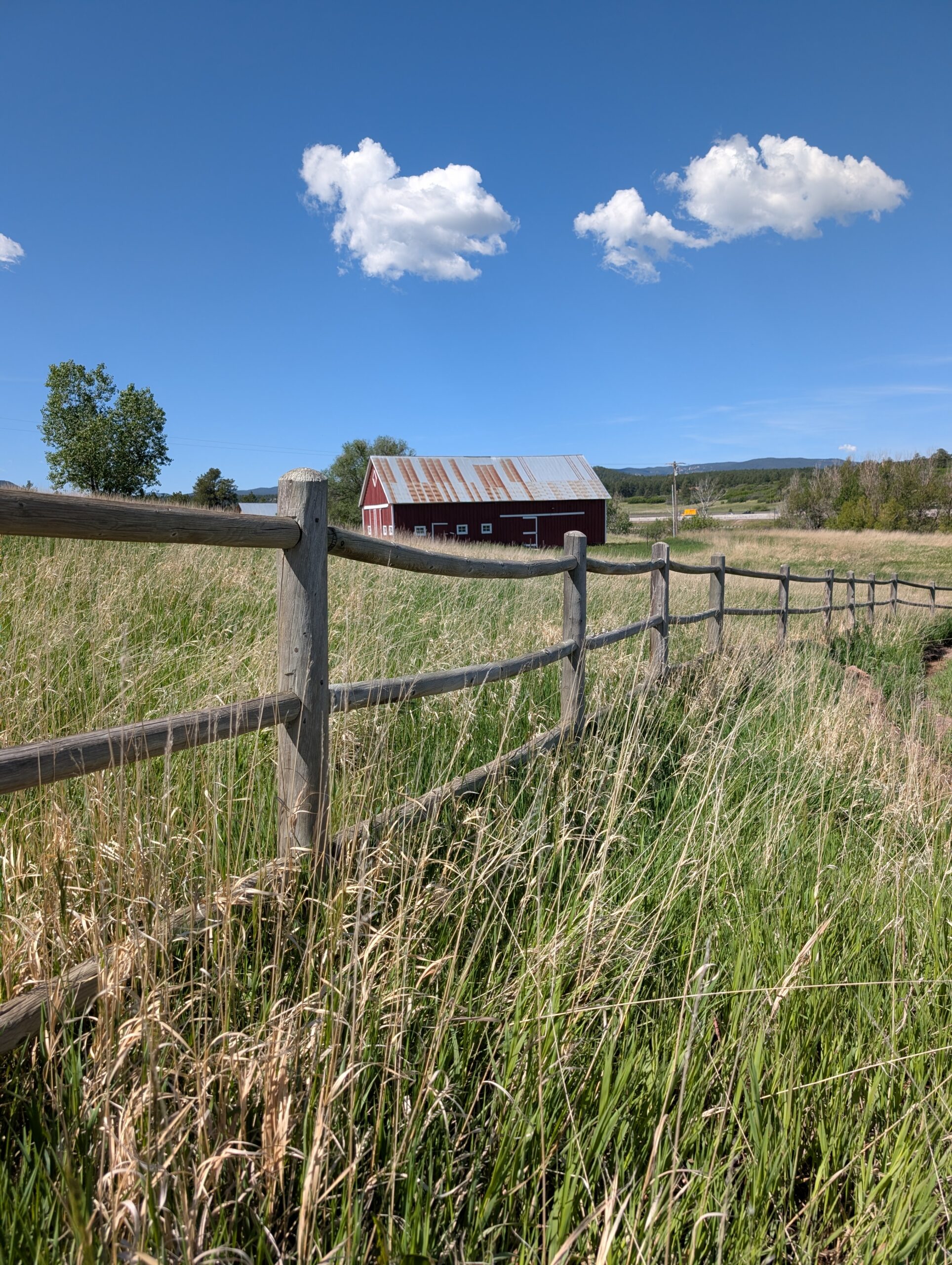
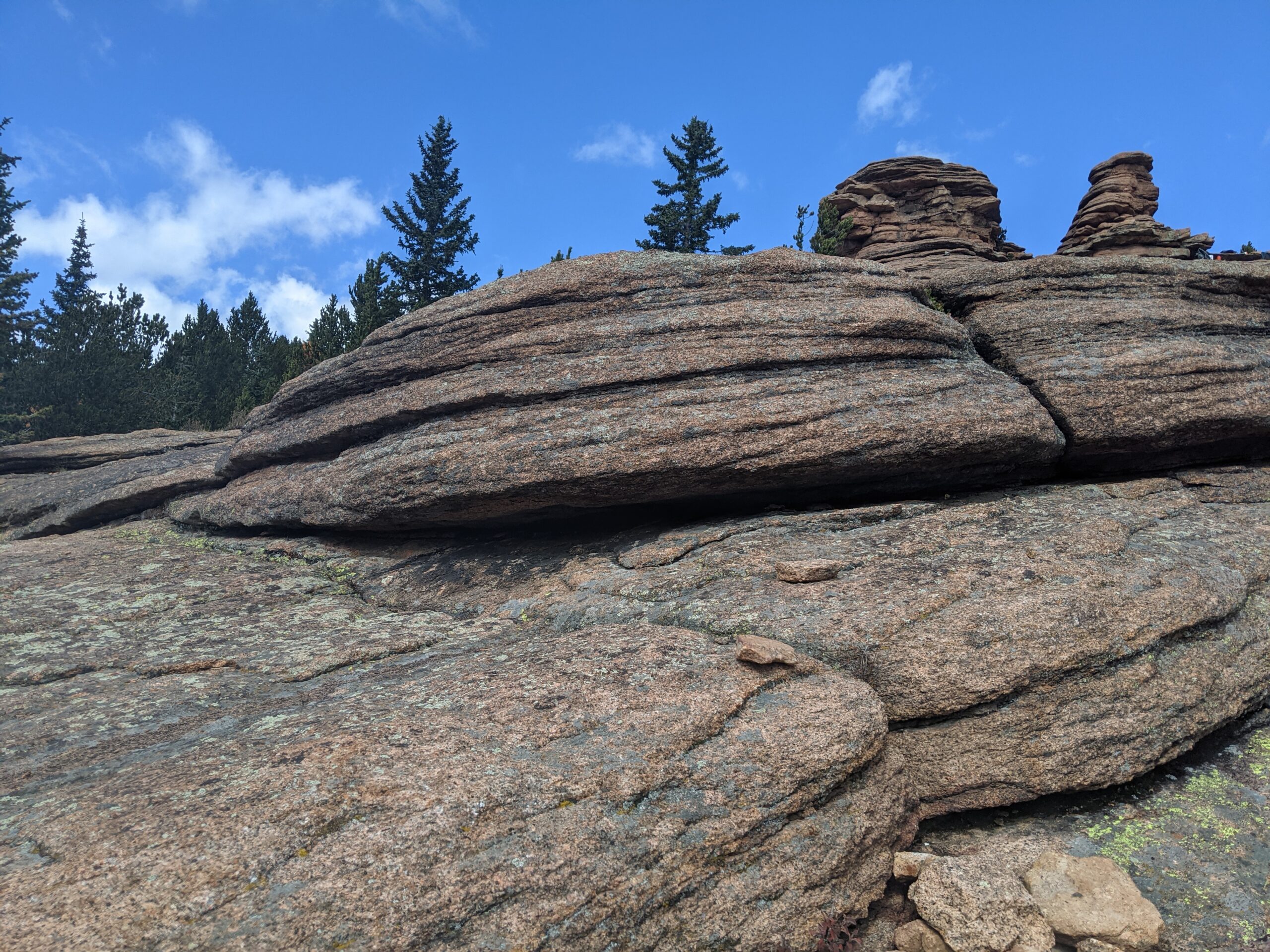
Sandstone Ranch Open Space (Douglas County) Nestled along the Front Range between Larkspur and Perry Park, Sandstone Ranch Open Space is a 2,038-acre property offering
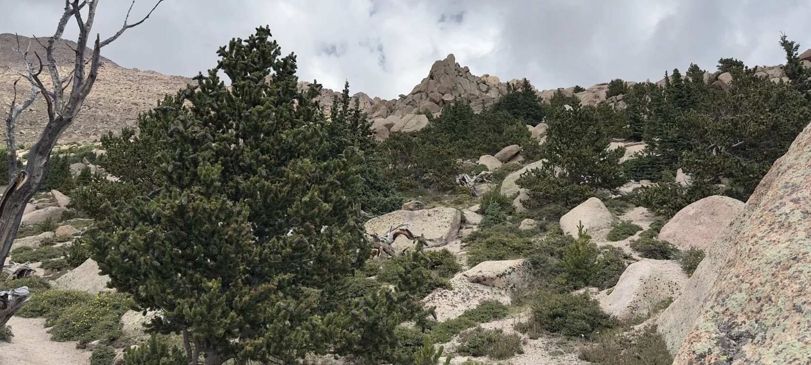
Pancake Rocks Trail The Pancake Rocks Trail near Cripple Creek is one of the most beloved high-country hikes in the Pikes Peak region, famous for
Barr Trail Barr Trail is one of Colorado’s most iconic and challenging hikes, climbing from the base of Manitou Springs to the 14,115-foot summit of
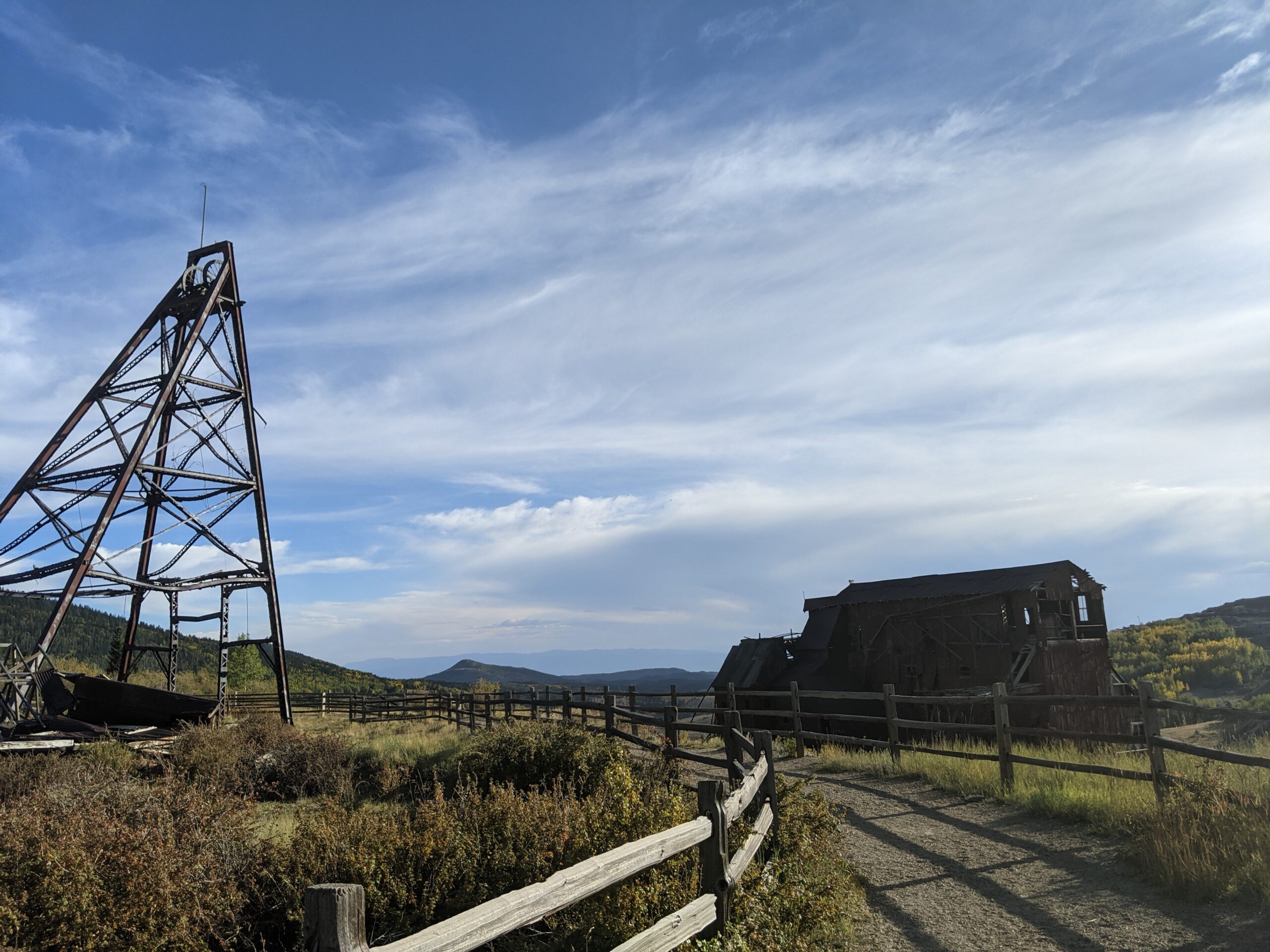
Vindicator Valley Trail Vindicator Valley Trail in Victor, Colorado, offers a fascinating blend of outdoor recreation, mining history, and scenic beauty in the heart of
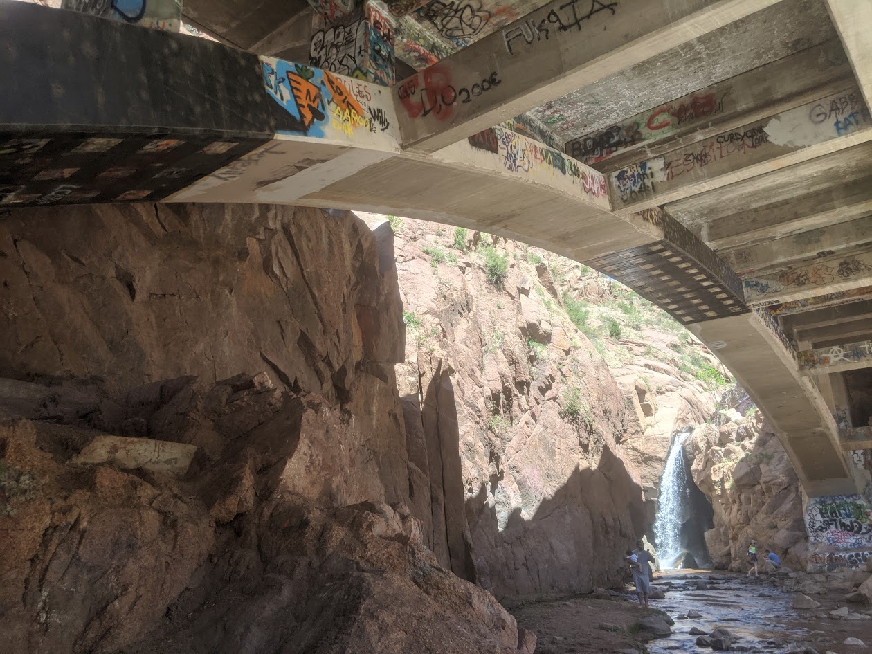
Rainbow Falls Historic Site Rainbow Falls Historic Site in Manitou Springs is a one of a kind destination that blends natural beauty with local history
