Greenways Park at Sand Creek (City of Colorado Springs)
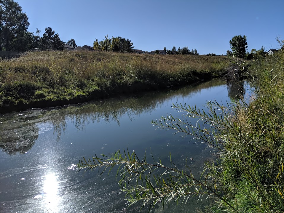
Greenways Park at Sand Creek is a brand-new community park in one of Colorado Springs’ fastest-growing east-side neighborhoods, transforming a former golf course irrigation pond into a vibrant, welcoming outdoor space for residents and visitors alike.
Features
Scenic pond (repurposed from former golf course irrigation pond)
Children’s playground
Event pavilion (reservable)
Large open grass fields
Hammock posts
Picnic areas
Walking/running path
Access to Sand Creek trail corridor
What to Expect A fresh, well-designed community park with a little something for everyone — whether you’re letting the kids loose on the playground, relaxing in a hammock by the pond, hosting a gathering at the pavilion, or just stretching your legs on the walking path. The park has a clean, modern feel and the pond gives it a scenic anchor that sets it apart from a typical neighborhood park.
Nearby The park sits adjacent to Sand Creek trail and is just minutes from First & Main Town Center and the Powers Corridor.
Plan Your Visit
Location: Greenways Main Blvd., Colorado Springs, CO 80922 (off Tutt Blvd., south of N. Carefree Circle)
Parking: On-site parking available
Hours: Open daily, sunrise to sunset Fees: Free
Bancroft Park (City of Colorado Springs)
Bancroft Park is the historic heart of Old Colorado City — a one-block square of green space along Colorado Avenue that has served as a community gathering place since the neighborhood’s founding in 1859. Renovated in 2020, it’s one of the most lively and event-filled neighborhood parks in the city.
Features
Bandshell (reservable for performances and events)
Playground
Picnic shelter and picnic tables
Trail/sidewalk path
Flower gardens
Historic Dr. Garvin log cabin (circa 1867)
Historical marker and displays
Award-winning self-cleaning restrooms (named America’s Best Restroom in 2020)
Wheelchair accessible
What to Expect Bancroft Park is far more than a patch of grass — it’s the cultural hub of Old Colorado City and one of the most charming and active neighborhood parks in Colorado Springs. On any given weekend you might find a farmers market, live music, an art walk, or a community festival. Surrounded by boutique shops, galleries, and restaurants, it’s a perfect spot to anchor a full afternoon in one of the city’s most beloved historic neighborhoods.
Don’t Miss
Territory Days — one of the largest annual festivals in Colorado Springs, held right in the park every Memorial Day weekend
Old Colorado City Saturday Farmers Market — running June through October
Free summer concerts at the bandshell
History Colorado City was founded in 1859 — before Colorado Springs even existed — and briefly served as the first capital of the Territory of Colorado. Bancroft Park occupies what was the original town square. A historic log cabin from that era still stands in the park today. The neighborhood was annexed into Colorado Springs in 1917 and designated a National Historic District in 1983. The park was named for Hubert Howe Bancroft, a prolific 19th-century western history writer, after whose name the former Bancroft School on the site was also named.
Plan Your Visit
Location: 2408 W. Colorado Ave. (W. Colorado Ave. & S. 24th St.), Old Colorado City
Parking: Street parking on Colorado Ave. and surrounding streets
Hours: Open daily Fees: Free
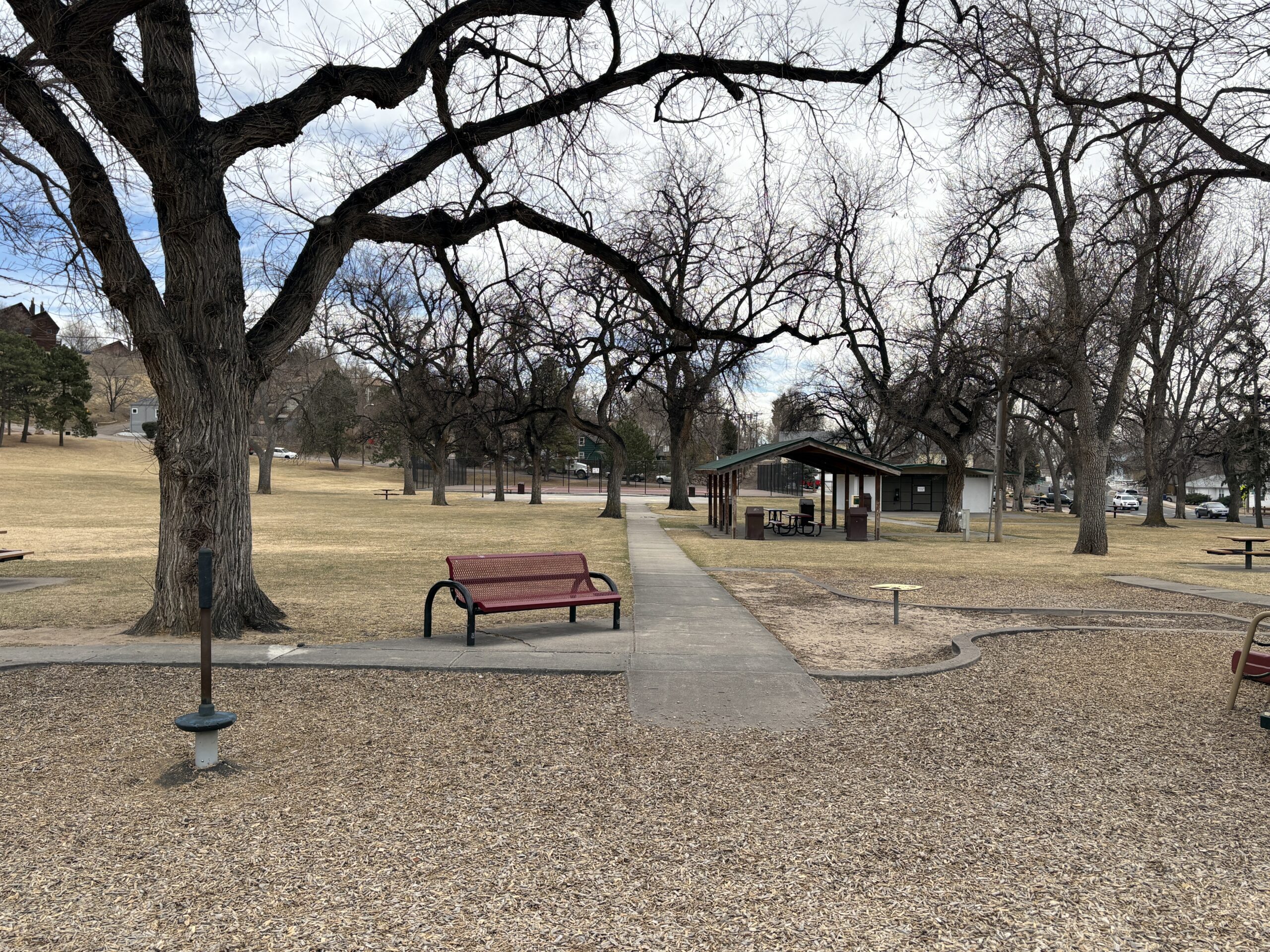
Explorer Park (City of Colorado Springs)
Explorer Park is a 7.3-acre Briargate neighborhood park with a mix of recreation features and pedestrian-friendly design in northeastern Colorado Springs.
Features
Playground
Inline hockey court
Picnic shelter
Walking paths throughout the park
Natural Area
Trail connection to Briargate Trail
What to Expect A well-designed park with a balance of active recreation and walkable space for families and neighbors.
Plan Your Visit Location: 4260 Bardot Dr. Parking: Street parking available Hours: Sunrise to sunset Fees: Free
Thorndale Park
What a history! Thorndale Park was once the Town of Ramona. Once considered the “City of Sin”, Ramona was incorporated as a counter to the temperance movement of the early 20th century.
Recreation and Activities
Thorndale park has plenty of features for families including play equipment, numerous picnic tables, a basketball and tennis court and a large open field for kids to romp. Large old trees provide plenty of shade during the hot summer months.
History
To fully appreciate the fascinating history of both Thorndale Park and the Town of Ramona it preceded, stop at the interpretive sign at the corner of 24th St. and Uinta St. You’ll get a better understanding of the complex history of the area.
Plan Your Visit
Location: 2310 W. Uintah St. The park can be accessed either along Uinta St. or along the side streets: 24th and 23rd Sts. Parking: Street parking is available on Uinta, 23rd or 24th. Accessibility ramps are located at the corners of 24th and 23rd. Hours: Open daily, dawn to dusk. Fees: No entry fee. Tips:
The ramada must be reserved through the Parks Department (719) 385-5940
The restrooms are closed during the winter months. Check and restroom closures on the City Parks Website
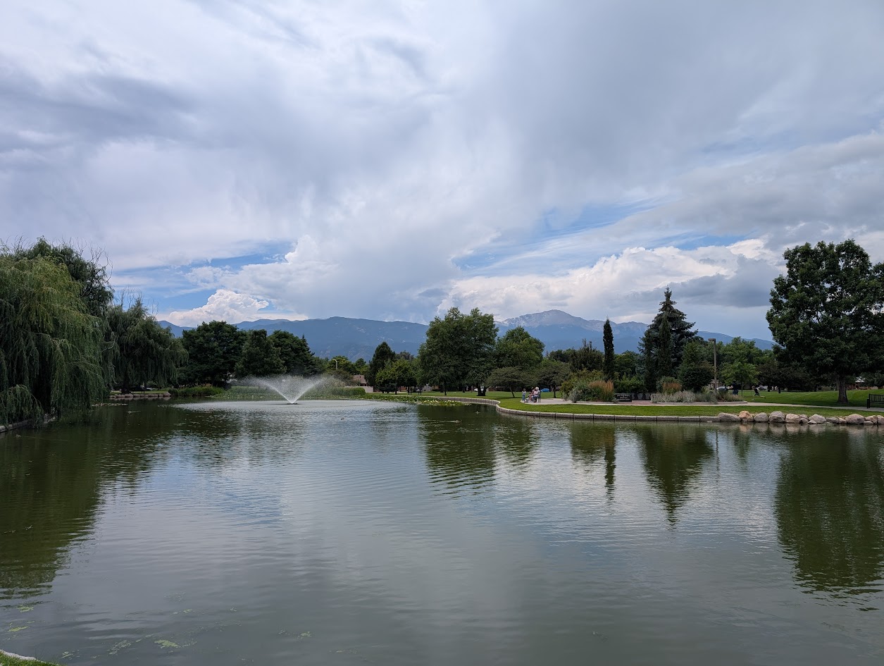
Nancy Lewis Park
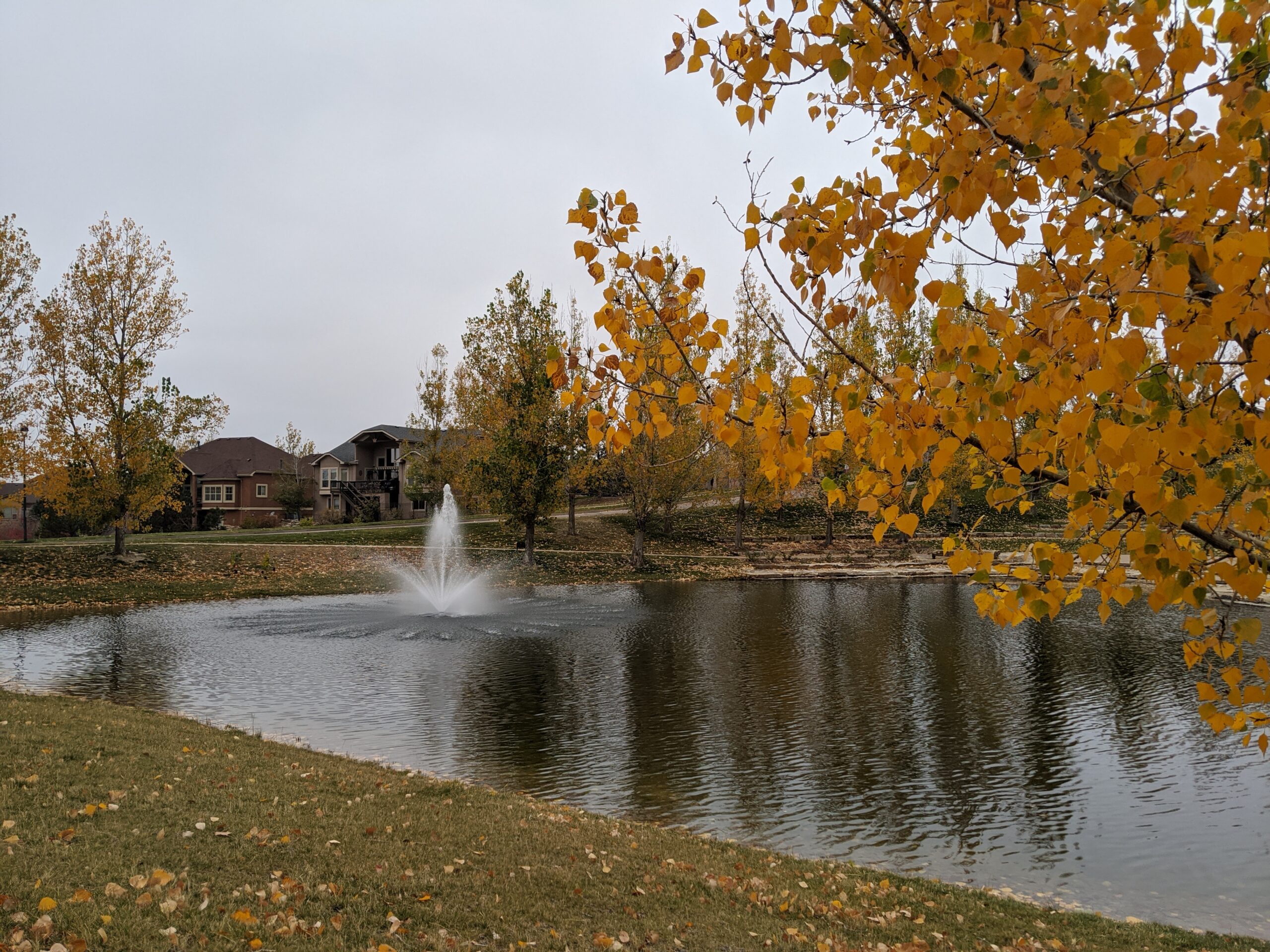
Nancy Lewis Park is one of Colorado Springs’ most charming neighborhood parks, offering a peaceful setting with a small pond, wetlands, rocks, a footbridge, and plenty of ducks that delight visitors of all ages. Located off Templeton Gap near Union and Fillmore, this 8.9-acre park is a valued community space for walking, relaxing, and everyday outdoor recreation.
Recreation
The park is ideal for casual walks, family outings, and light exercise, with a sidewalk path that loops around the entire park. Visitors enjoy watching wildlife around the pond, using the playground and fitness equipment, or gathering for informal games and picnics. A croquet and putting green and sand volleyball court add to the park’s variety of recreational options.
Trails and Connections
Nancy Lewis Park features paved sidewalk paths that create an easy, accessible walking loop for all ages and abilities. While it is primarily a neighborhood destination, its paths connect nearby residents to surrounding streets and local routes for short walks and bike trips.
Wildlife and Scenery
The park’s pond and wetland areas attract ducks and other birds throughout the year. Rock features, landscaped areas, and seasonal plantings create a scenic setting that changes with the seasons. The bridge and water features make this park especially popular for photography and quiet reflection.
History
Nancy Lewis Park honors community legacy through features such as the hospice tree dedication and legacy wall. Over time, it has become known as a welcoming gathering place that reflects the neighborhood’s commitment to preserving small, high-quality green spaces.
Plan Your Visit
Location: 2615 Logan Ave. (Templeton Gap Road and Logan Ave.) Parking: Street parking available nearby Hours: Open daily, sunrise to sunset Fees: Free
Tips: Restrooms are seasonal. Bring water for warm days and take time to explore the pond area for wildlife viewing.
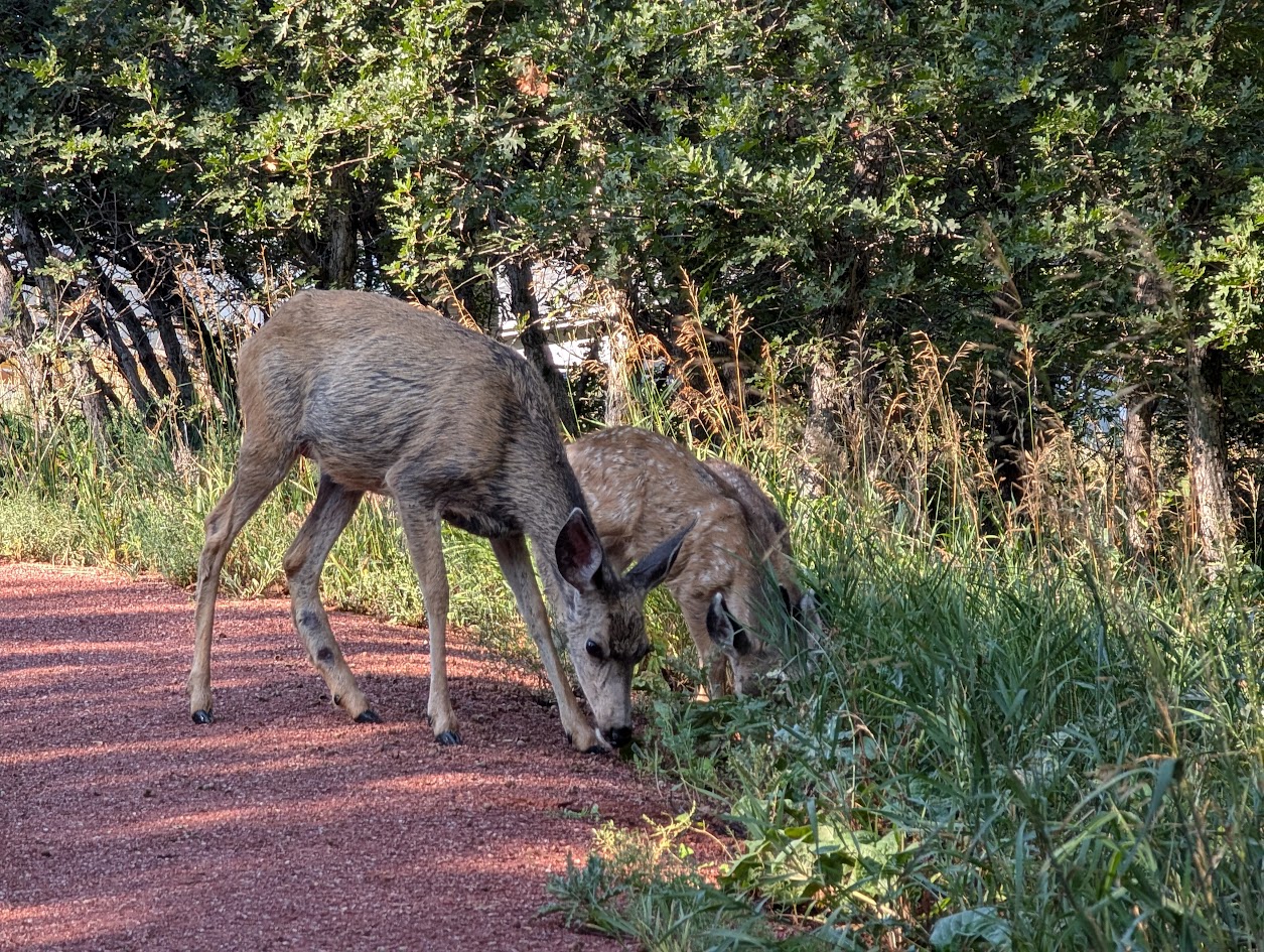
Rockrimmon Trail
The Rockrimmon Trail is a scenic urban foothills route in northwest Colorado Springs, offering sweeping views of the city, the Front Range, and surrounding open spaces. Popular with hikers, trail runners, and dog walkers, this accessible trail provides a quick escape into nature without leaving town.
Recreation
Rockrimmon Trail is well-suited for walking, jogging, and light trail running, with moderate elevation gain and open terrain. The route is frequently used for fitness outings, sunset walks, and casual nature exploration, making it a favorite for nearby neighborhoods. Leashed dogs are welcome, and the trail’s wide sections make it comfortable for shared use.
Trails and Connections
The main trail connects to a network of nearby routes in the Rockrimmon and Peregrine open space areas, allowing users to extend their outings. Hikers can link to additional foothills trails for longer loops and more challenging terrain, creating flexible options for both short and extended visits.
Wildlife and Scenery
The trail passes through grasslands, shrublands, and rocky outcrops that support deer, hawks, songbirds, and other urban wildlife. Expansive views of Pikes Peak, Garden of the Gods, and the city skyline make this area especially popular for photography and quiet reflection.
History
The Rockrimmon area has long been valued for its natural setting along the city’s western edge. As development expanded nearby, the trail system was preserved to maintain public access to foothills landscapes and outdoor recreation close to residential neighborhoods.
Plan Your Visit
Location: Northwest Colorado Springs, near Rockrimmon Boulevard Parking: Limited street parking available near trailheads Hours: Open daily, sunrise to sunset Fees: Free Tips: Bring water, sun protection, and sturdy shoes. Watch for changing weather and share the trail courteously with other users.
With its convenient location, open views, and connections to surrounding open spaces, Rockrimmon Trail offers an easy and rewarding way to experience the foothills and stay active close to home.
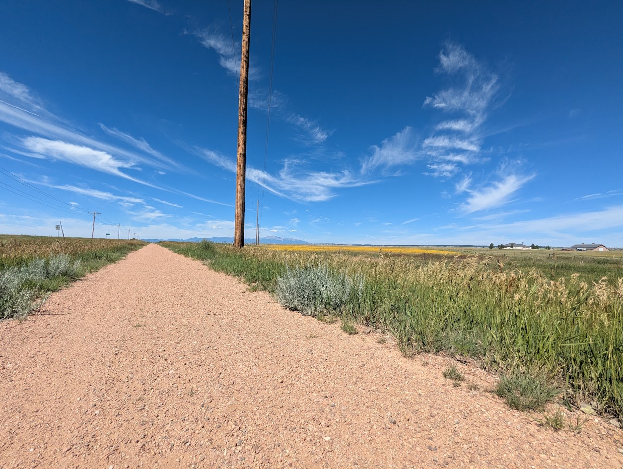
Rock Island Regional Trail – Falcon and Peyton, CO
East of Colorado Springs, the Rock Island Regional Trail continues through Falcon and Peyton along the same historic railroad alignment. This segment provides a more rural experience, connecting growing communities and open landscapes while preserving the legacy of the former rail corridor.
Location: Eastern El Paso County, between Falcon and Peyton along the former Rock Island Railroad corridor
Trail Experience
The Falcon and Peyton segment of the Rock Island Trail offers a quieter, more open setting compared to the urban Colorado Springs portion. The trail follows the historic rail bed through prairie landscapes and developing residential areas, creating opportunities for walking, biking, and horseback riding depending on surface conditions.
As development continues in eastern El Paso County, this segment plays an increasingly important role in providing off street trail access and connecting communities to regional recreation opportunities.
Connections
The Falcon and Peyton portion of the Rock Island Trail connects local neighborhoods and open spaces while supporting long term plans for expanded trail connectivity across eastern El Paso County. Future trail extensions and connections are expected to further link this corridor to parks, schools, and regional trail systems.
The Rock Island Trail reflects Colorado Springs’ rail history while serving as a vital recreation and transportation corridor today. Together, the urban and eastern segments illustrate how historic infrastructure continues to shape access, connectivity, and community across the region.
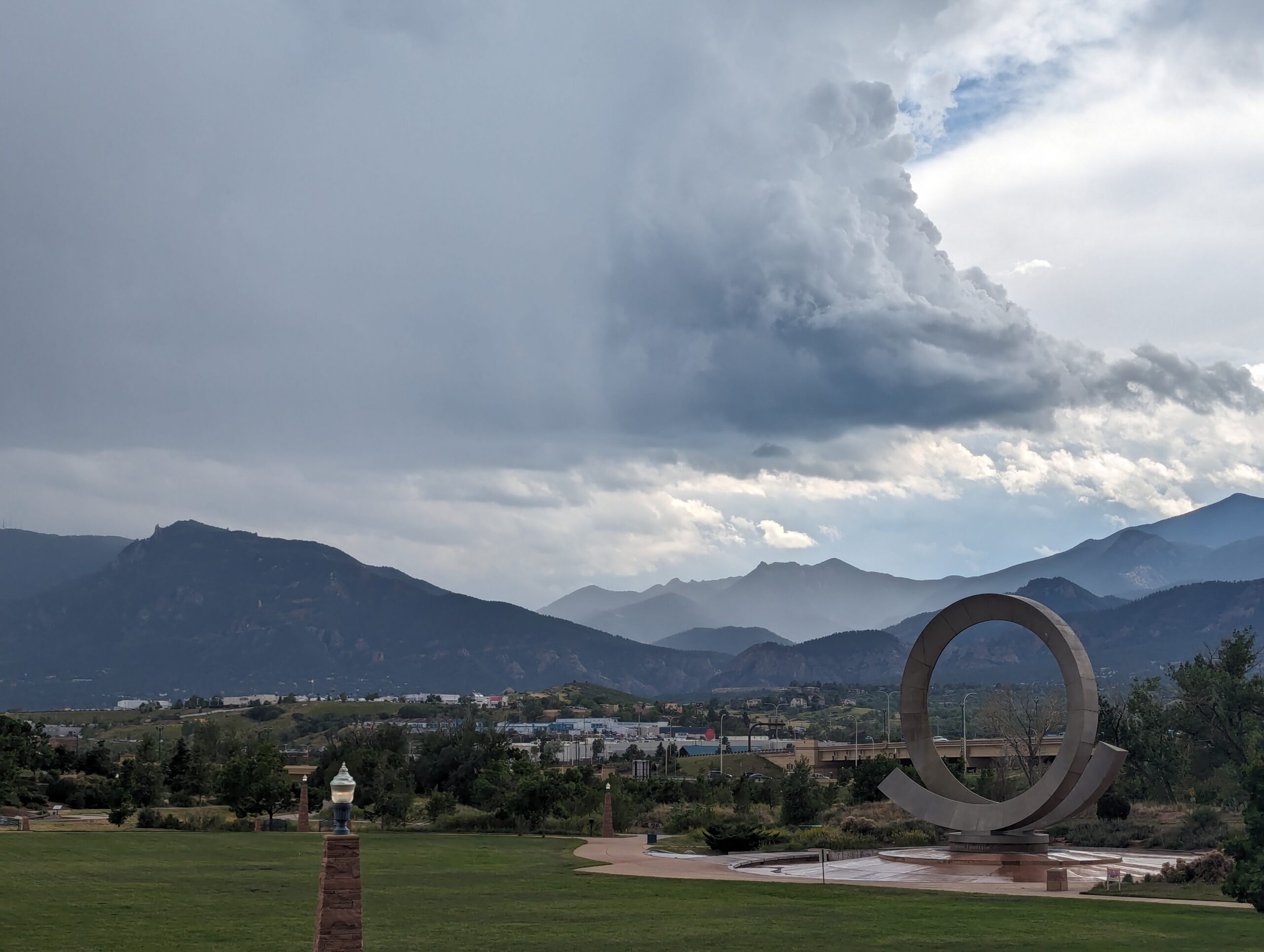
Nestled at the base of Pikes Peak and just steps from downtown Colorado Springs, America the Beautiful Park is a vibrant urban green space that combines recreation, art, and community. The park’s name honors Katharine Lee Bates, who penned the song “America the Beautiful” after visiting the summit of Pikes Peak in 1893.
Recreation and Amenities
The 30-acre park is designed for families, gatherings, and outdoor fun. It features large open lawns perfect for picnics and games, a universally accessible playground that welcomes children of all abilities, and plenty of paved trails for walking, running, and cycling. The park also connects directly to the Pikes Peak Greenway Trail, making it a popular hub for commuters and recreationists.
Iconic Features
The centerpiece of the park is the “Continuum” sculpture and Julie Penrose Fountain, a 60-foot circular structure that sprays water high into the air, creating a refreshing play space in summer and a striking landmark year-round. Its design represents the continuous motion of water and life, making it one of the city’s most recognized symbols.
Wildlife and Scenery
While the park sits in the heart of the city, visitors can still enjoy views of Pikes Peak and the Front Range, along with the chance to spot urban wildlife along the trails and nearby Fountain Creek. Its open design offers both green lawns and mountain vistas, making it a scenic gathering place.
History
Created in the early 2000s, America the Beautiful Park was envisioned as a community centerpiece, blending public art, accessible play, and trail connections into one landmark park. It has since become a favorite spot for festivals, concerts, and family outings while honoring the region’s deep connection to the iconic song.
Plan Your Visit
Location: 126 Cimino Drive, Colorado Springs, CO 80903 Parking: Free parking is available on-site, though spaces can fill quickly during events. Hours: Open daily, 5:00 a.m. – 9:00 p.m. More Information: https://coloradosprings.gov/parks/page/america-beautiful-park Tips:
Bring kids in summer to enjoy the splash fountain.
Walk or bike to the park via the Pikes Peak Greenway for a car-free adventure.
Check the city events calendar—many community festivals and cultural events take place here.
With its combination of art, recreation, and breathtaking views of the mountains, America the Beautiful Park truly lives up to its name as one of Colorado Springs’ most iconic gathering spaces.