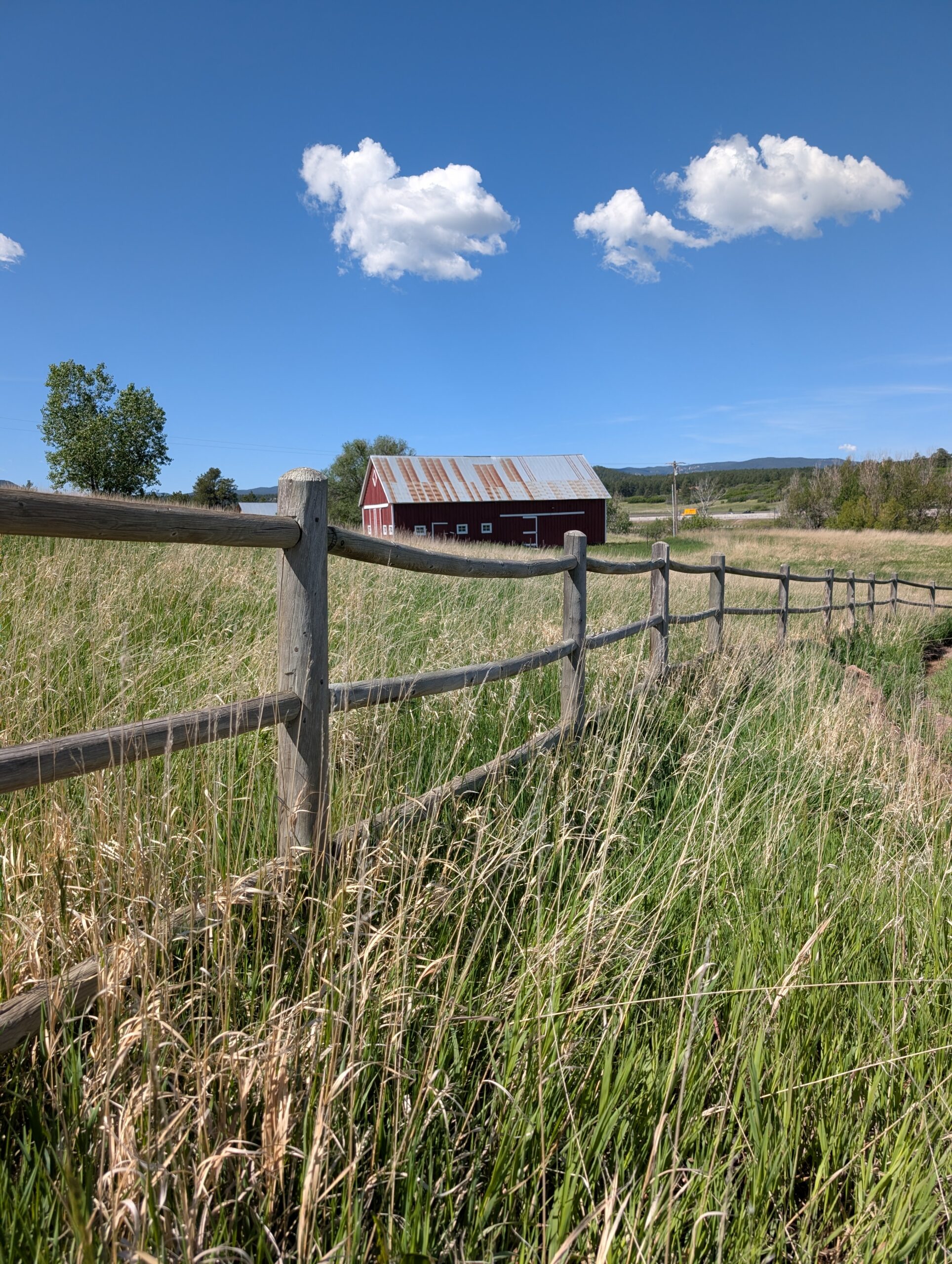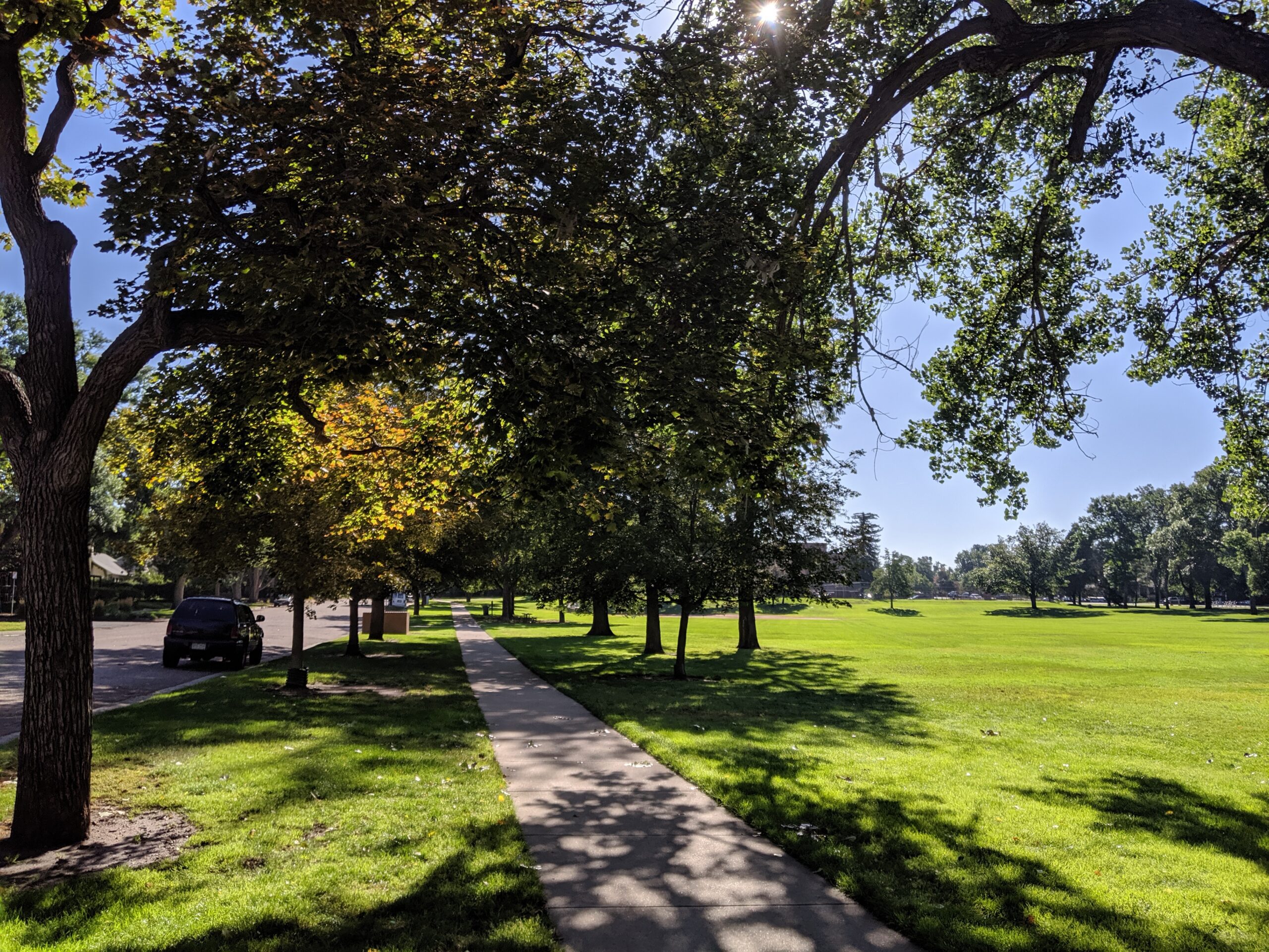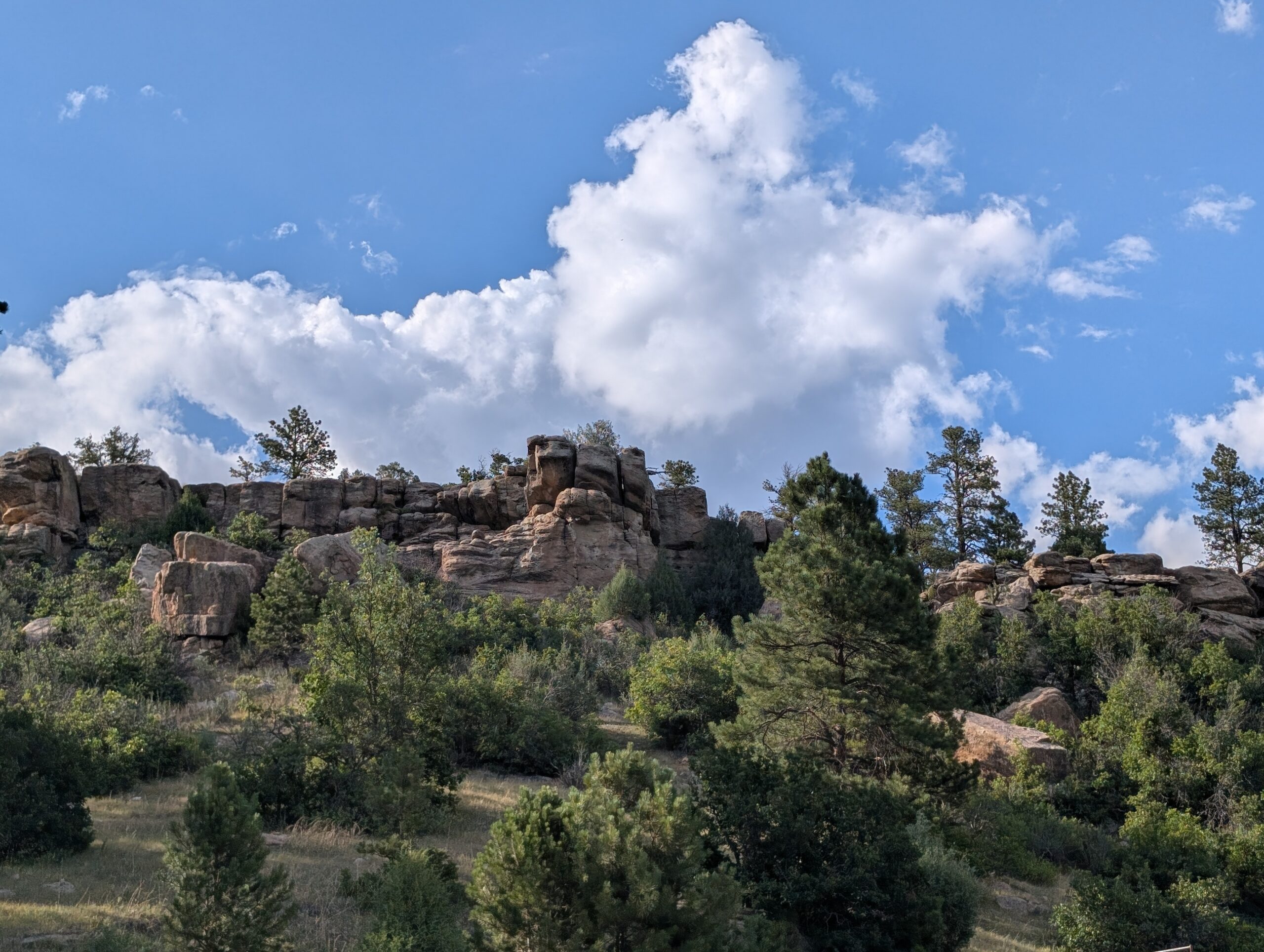
Bancroft Park is the historic heart of Old Colorado City — a one-block square of green space along Colorado Avenue that has served as a community gathering place since the neighborhood’s founding in 1859. Renovated in 2020, it’s one of the most lively and event-filled neighborhood parks in the city.
Features
Bandshell (reservable for performances and events)
Playground
Picnic shelter and picnic tables
Trail/sidewalk path
Flower gardens
Historic Dr. Garvin log cabin (circa 1867)
Historical marker and displays
Award-winning self-cleaning restrooms (named America’s Best Restroom in 2020)
Wheelchair accessible
What to Expect Bancroft Park is far more than a patch of grass — it’s the cultural hub of Old Colorado City and one of the most charming and active neighborhood parks in Colorado Springs. On any given weekend you might find a farmers market, live music, an art walk, or a community festival. Surrounded by boutique shops, galleries, and restaurants, it’s a perfect spot to anchor a full afternoon in one of the city’s most beloved historic neighborhoods.
Don’t Miss
Territory Days — one of the largest annual festivals in Colorado Springs, held right in the park every Memorial Day weekend
Old Colorado City Saturday Farmers Market — running June through October
Free summer concerts at the bandshell
History Colorado City was founded in 1859 — before Colorado Springs even existed — and briefly served as the first capital of the Territory of Colorado. Bancroft Park occupies what was the original town square. A historic log cabin from that era still stands in the park today. The neighborhood was annexed into Colorado Springs in 1917 and designated a National Historic District in 1983. The park was named for Hubert Howe Bancroft, a prolific 19th-century western history writer, after whose name the former Bancroft School on the site was also named.
Plan Your Visit
Location: 2408 W. Colorado Ave. (W. Colorado Ave. & S. 24th St.), Old Colorado City
Parking: Street parking on Colorado Ave. and surrounding streets
Hours: Open daily Fees: Free
Antlers Park (City of Colorado Springs)
Antlers Park is a 3.4-acre historic downtown green space nestled beside the iconic Antlers Hotel — one of the most storied landmarks in Colorado Springs. With views of Pikes Peak framed by shade trees and open lawns, it’s a quiet and scenic retreat right in the heart of the city.
Features
Historic locomotive on display
Large group picnic shelter (reservable)
Picnic tables and open green space
Shaded walking paths and sidewalk loop
Restrooms
Dog park (separate fenced area with small and large dog zones, synthetic turf, play amenities, and dog water station)
Wheelchair accessible
What to Expect A peaceful, historically rich park that’s perfect for a lunch break, a casual stroll, or letting the dog run. The park has a relaxed, unhurried feel — more of a scenic respite than an active recreation hub — and the backdrop of the Antlers Hotel and Pikes Peak views make it one of the more photogenic spots in downtown.
History Antlers Park has been part of downtown Colorado Springs since the early 1900s, originally designed as a landscaped arrival gateway for travelers stepping off the train at the nearby Denver and Rio Grande Railroad depot. The park takes its name from the Antlers Hotel, first built by city founder General William Jackson Palmer in 1883 and a downtown landmark ever since. The park is one of three historic downtown parks — along with Acacia and Alamo Square — included in the city’s Downtown Historic Parks Master Plan.
Plan Your Visit
Location: 31 W. Pikes Peak Ave. (W. Pikes Peak Ave. & Sierra Madre St.), Downtown Colorado Springs
Parking: Metered street parking nearby; parking garage adjacent
Hours: Open daily Fees: Free
Boulder Park (City of Colorado Springs)
Boulder Park is a 7.2-acre community park near downtown and Memorial Hospital – Central, offering a variety of sports fields and open areas.
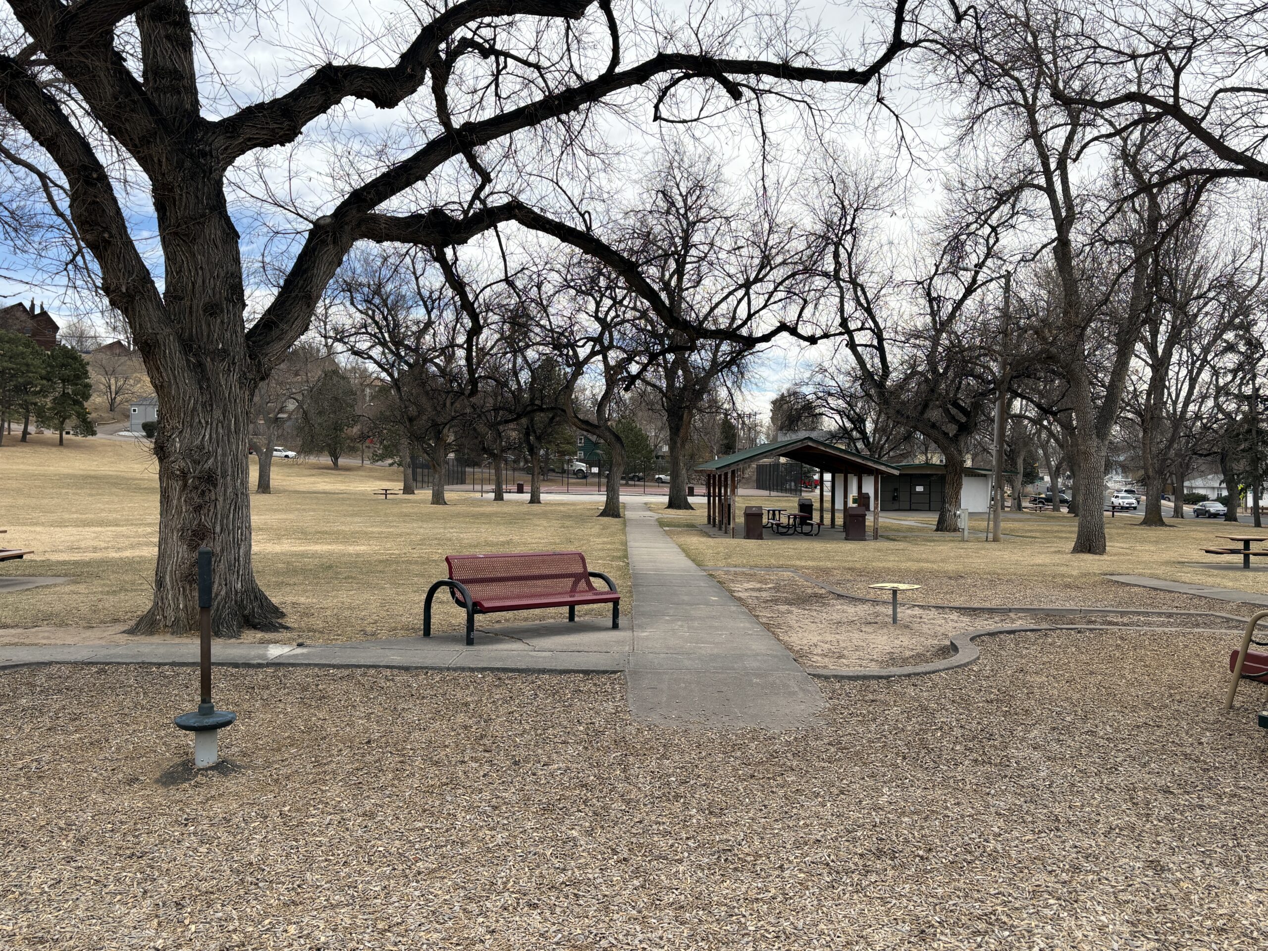
Features
Playground
Basketball court
Baseball/softball field
Football/soccer field
Open space for informal recreation
Rare trees planted around the park
Interpretive signage
What to Expect A larger neighborhood park that supports both organized sports and everyday use, with plenty of room to spread out.
Plan Your Visit Location:1210 E. Boulder St. Parking: Street parking nearby Hours: Sunrise to sunset Fees: Free
Thorndale Park
What a history! Thorndale Park was once the Town of Ramona. Once considered the “City of Sin”, Ramona was incorporated as a counter to the temperance movement of the early 20th century.
Recreation and Activities
Thorndale park has plenty of features for families including play equipment, numerous picnic tables, a basketball and tennis court and a large open field for kids to romp. Large old trees provide plenty of shade during the hot summer months.
History
To fully appreciate the fascinating history of both Thorndale Park and the Town of Ramona it preceded, stop at the interpretive sign at the corner of 24th St. and Uinta St. You’ll get a better understanding of the complex history of the area.
Plan Your Visit
Location: 2310 W. Uintah St. The park can be accessed either along Uinta St. or along the side streets: 24th and 23rd Sts. Parking: Street parking is available on Uinta, 23rd or 24th. Accessibility ramps are located at the corners of 24th and 23rd. Hours: Open daily, dawn to dusk. Fees: No entry fee. Tips:
The ramada must be reserved through the Parks Department (719) 385-5940
The restrooms are closed during the winter months. Check and restroom closures on the City Parks Website
Sondermann Park
Sondermann Park is a peaceful neighborhood and open space park on the west side of Colorado Springs. This scenic corridor features creekside habitat, open lawns, and trail access, offering a quiet escape close to downtown and Old Colorado City.
Recreation
The park is popular for walking, jogging, dog walking, birdwatching, and casual cycling along soft-surface paths. Open grassy areas provide space for wildlife viewing, relaxation, and informal play, while shaded sections near the creek offer cool resting spots during warmer months.
Trails and Connections
Sondermann Park provides direct access to the Mesa Valley Trail. This serves as a connection to the Pikes Peak Greenway Trail. The park also serves as a gateway to nearby environmental education facilities and neighborhood routes. Inside the park, a variety of trails through diverse habitat are present. Trails: Bluestem Trail, Mesa Valley Trail, West Fork Trail , Creekside Trail, Lilac Trail, Western Loop, South Park Loop.
Wildlife and Scenery
The creek and wetlands attract ducks, songbirds, herons, beavers and other wildlife throughout the year. Cottonwood trees, native grasses, and riparian vegetation create a natural landscape that changes with the seasons. Larger wildlife, such as coyotes, mountain lions, bobcats and black bears frequent the area. The area is especially popular for early-morning walks and nature photography.
History
The park is named in honor of Paul Sondermann, a longtime conservation advocate who played a key role in protecting local waterways and open spaces. Its preservation reflects the community’s commitment to maintaining healthy creek corridors and accessible green spaces.
Plan Your Visit
Location: 740 W. Caramillo St., Colorado Springs, CO 80907 Parking: Limited parking available near trailhead and adjacent streets Hours: Open daily, sunrise to sunset Fees: Free
Tips: Bring water and sun protection, and watch for cyclists on shared-use paths. Stay on designated trails to help protect creekside habitat.
Sandstone Ranch Open Space (Douglas County)
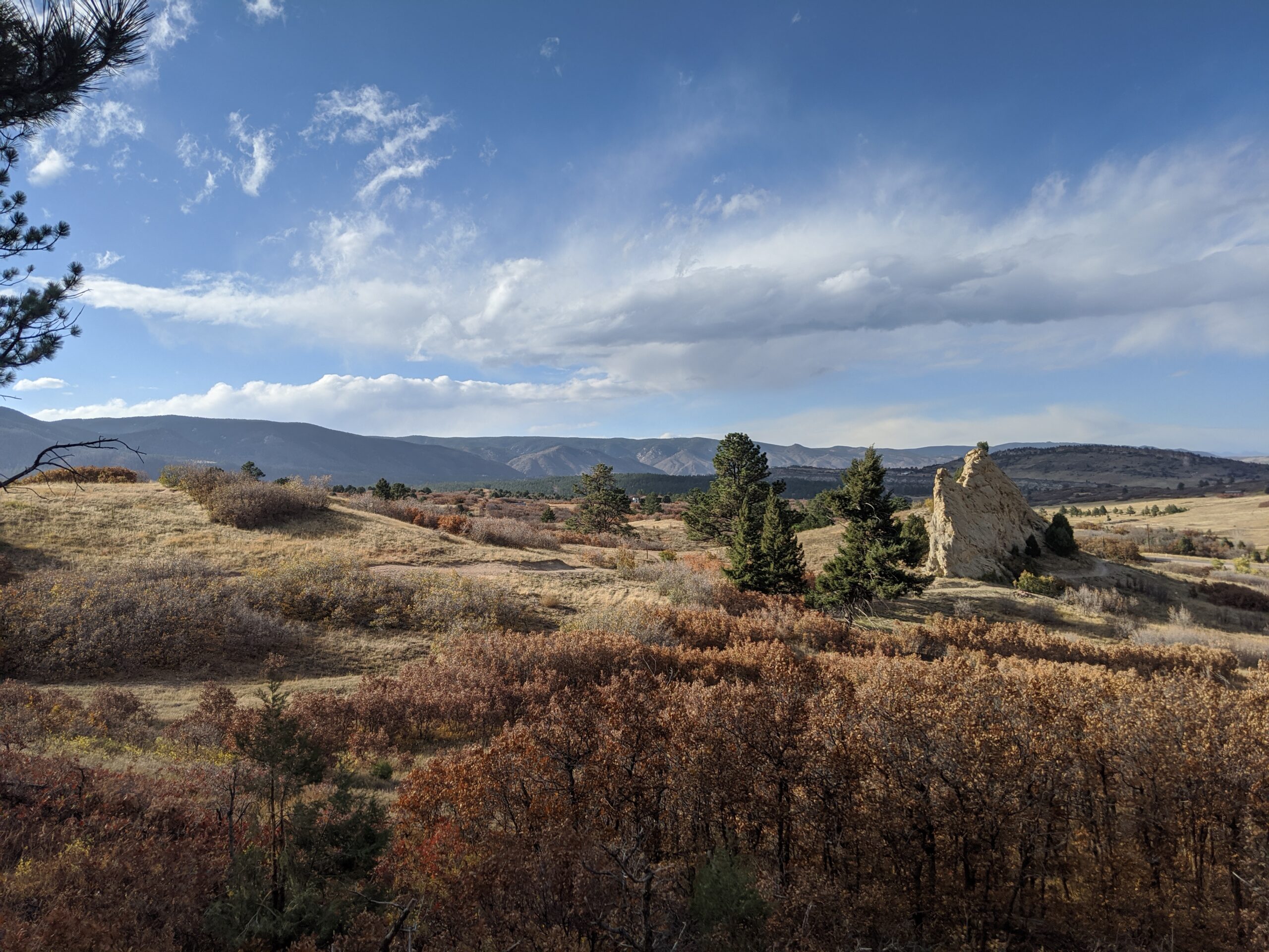
Nestled along the Front Range between Larkspur and Perry Park, Sandstone Ranch Open Space is a 2,038-acre property offering visitors a stunning blend of red rock formations, rolling meadows, ponderosa pine forests, and historic ranchland. Opened to the public in 2020, this open space highlights the beauty and heritage of Douglas County while protecting vital wildlife habitat and cultural resources.
Recreation and Trails
Sandstone Ranch features nearly 12 miles of multi-use trails for hikers, bikers, and equestrians. Popular routes include the Sandstone Meadow Trail, winding through expansive grasslands, and the Sandstone Ridge Trail, which climbs into forests and sandstone outcrops with sweeping views of Pikes Peak. Picnic areas and interpretive signage provide places to pause and appreciate both the scenery and history.
Wildlife and Scenery
The diverse landscapes of Sandstone Ranch support elk, mule deer, wild turkeys, black bears, and bobcats, while raptors soar above the ridgelines. In spring and summer, meadows burst with wildflowers, contrasting beautifully with the striking red sandstone cliffs. Autumn brings golden stands of aspen and cottonwood, making the open space a year-round destination for photographers and nature lovers.
History
For centuries, Native peoples traveled through this landscape, followed by homesteaders and ranchers who shaped the land into productive pasture. The Sandstone Ranch property was operated as a working ranch for over 150 years before Douglas County, with support from Great Outdoors Colorado (GOCO) and other partners, secured it for conservation. The historic ranch headquarters remains, offering a glimpse into Colorado’s ranching heritage.
Plan Your Visit
Location: 2028 N. Perry Park Road, Larkspur, CO 80118 Parking: Main lot at the trailhead with space for horse trailers. Hours: Open daily, one hour before sunrise to one hour after sunset. Fees: No entry fee. Tips:
Dogs must remain on leash at all times.
Carry plenty of water—there are no facilities along the trails.
Trails can be icy in winter and muddy in spring—plan footwear accordingly.
With its sweeping views, rich history, and diverse recreation opportunities, Sandstone Ranch Open Space is a crown jewel of Douglas County’s open space system and a must-visit for anyone looking to experience Colorado’s natural and cultural heritage.
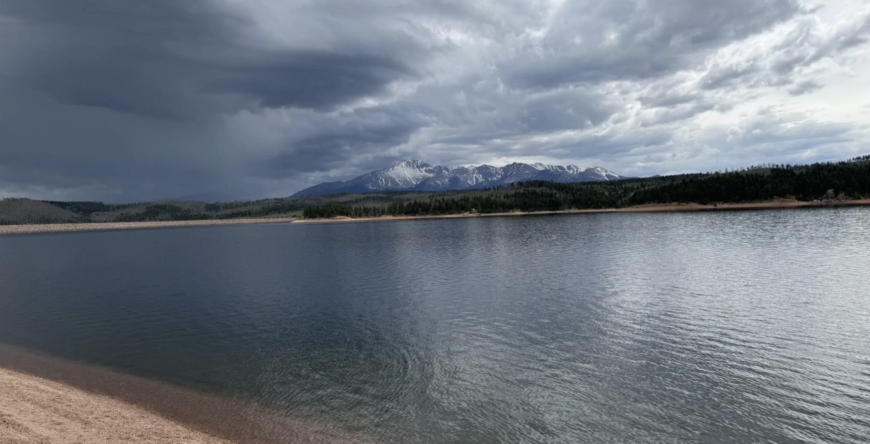
Rampart Reservoir Recreation Area, located just outside Woodland Park on the north slope of Pikes Peak, is one of the premier destinations in the Pikes Peak region for fishing, boating, hiking, and mountain scenery. At 8,948 feet in elevation, the 500-acre reservoir provides a cool alpine escape with panoramic views of Pikes Peak and the surrounding forests.
Recreation and Trails
Rampart Reservoir is best known for its water-based recreation. Boating is allowed (with motor restrictions), and anglers come for rainbow, lake, and brown trout as well as smallmouth bass. The Rampart Reservoir Trail loops around the water for 13 miles, popular with hikers, trail runners, and mountain bikers. Shorter access trails, such as Rainbow Gulch Trail, provide family-friendly options and scenic shoreline hikes.
Wildlife and Scenery
With its sparkling waters framed by dense pine and spruce forests, Rampart Reservoir is a photographer’s dream. Wildlife is abundant—visitors often spot bald eagles, ospreys, mule deer, foxes, and the occasional black bear. In summer, wildflowers brighten the trails, while fall brings golden aspen groves.
History
The reservoir was constructed in 1969 by the City of Colorado Springs as part of the municipal water system. Beyond serving as an essential water storage site, it quickly became a popular recreation area, drawing visitors from across the Front Range for its combination of outdoor opportunities and alpine beauty.
Plan Your Visit
Location: About 4 miles east of Woodland Park, accessible via Rampart Range Road. Parking: Multiple paved and gravel parking areas are available near trailheads and boat ramps. A day-use fee is required. Hours: Open seasonally, late May through mid-October, from 6:00 a.m. to 8:00 p.m. (hours vary by season). Closed in winter. Tips:
A Colorado fishing license is required for anglers.
Dogs are allowed but must be leashed.
Bring layers—weather can change quickly at nearly 9,000 feet.
The loop trail is long and exposed in places; bring plenty of water and sun protection.
Barr Trail is one of Colorado’s most iconic and challenging hikes, climbing from the base of Manitou Springs to the 14,115-foot summit of Pikes Peak. Stretching about 13 miles one way, this legendary route is a favorite for experienced hikers, trail runners, and those seeking to follow in the footsteps of Katherine Lee Bates, who wrote “America the Beautiful” after visiting the summit. With nearly 7,400 feet of elevation gain, Barr Trail is considered one of the most demanding long-distance trails in the Pikes Peak region.
Trails and Recreation
Barr Trail begins near the Cog Railway Depot in Manitou Springs and winds through diverse terrain, from foothill forests to high-alpine tundra. Many hikers split the journey by stopping overnight at Barr Camp, a rustic backcountry lodge about 6.5 miles up the trail. Others use the trail for training runs or as a route to complete the famous Pikes Peak Ascent and Marathon. Whether you tackle a section or the entire summit, Barr Trail delivers a one-of-a-kind adventure.
Wildlife and Scenery
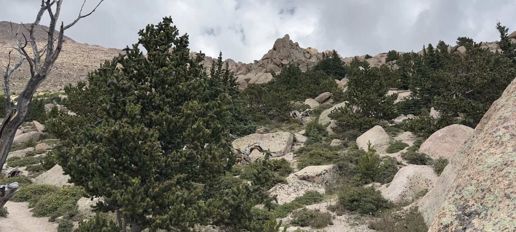
Along the way, hikers pass through lush ponderosa pine forests, groves of aspen, and wildflower-filled meadows before entering the rocky alpine zone. Wildlife sightings may include mule deer, marmots, pikas, black bear, and a wide range of bird species. The higher you climb, the more expansive the views become—eventually opening up to sweeping panoramas of the Front Range, Colorado Springs, and the eastern plains.
History
Barr Trail was built in the early 1900s by Fred Barr, who envisioned a route that would allow hikers and equestrians to reach the summit of Pikes Peak. Barr also established Barr Camp as a stopping point along the way, which continues to serve outdoor enthusiasts today. The trail’s connection to the region’s cultural and recreational history has made it a cornerstone of Colorado hiking.
Plan Your Visit
Location: Trailhead located near 540 Ruxton Avenue, Manitou Springs, CO, adjacent to the Cog Railway Depot. Parking: Limited parking is available near the trailhead; many visitors use Manitou Springs public lots or shuttle systems. Fees may apply. Hours: Open year-round, but conditions can be extreme—check weather forecasts before starting. Tips:
Expect a strenuous hike—be physically prepared and start early.
Carry layers, food, and plenty of water (refills available at Barr Camp).
Afternoon storms are common in summer; plan to be below tree line by midday.
Dogs are allowed but should be kept leashed and acclimated to long climbs.
Rainbow Falls Historic Site
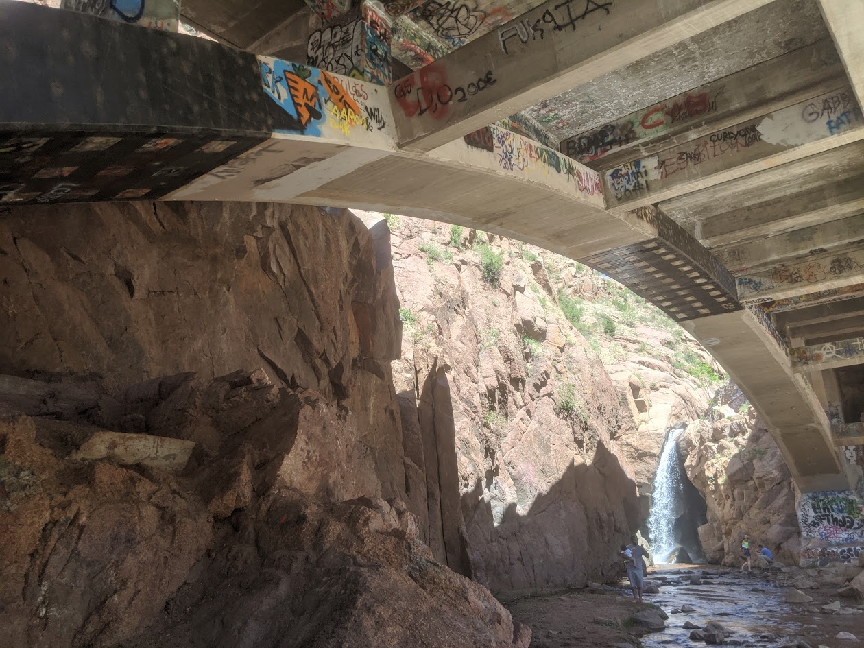
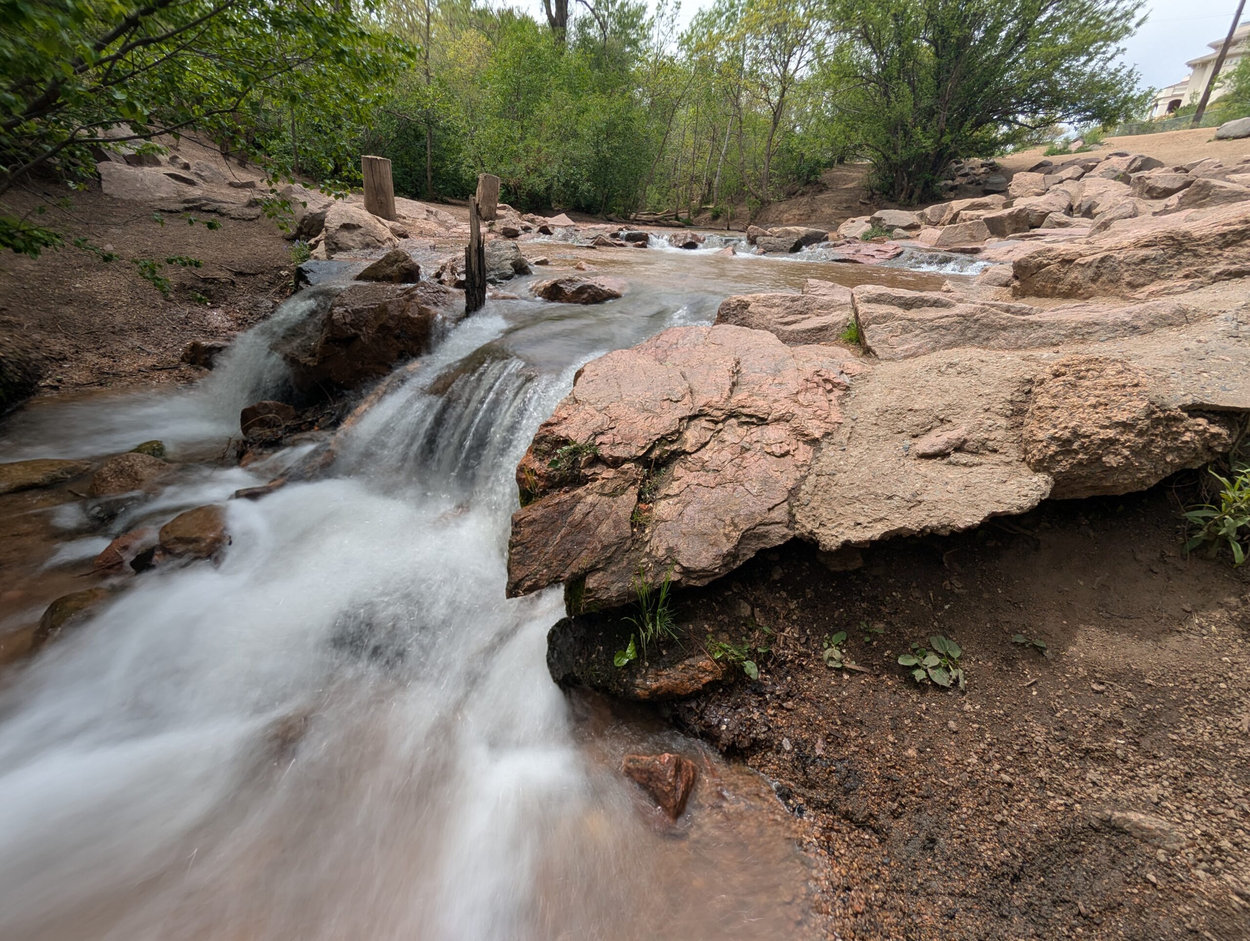
Rainbow Falls Historic Site in Manitou Springs is a one of a kind destination that blends natural beauty with local history and art. Known locally as “Graffiti Falls,” this spot features a dramatic waterfall dropping beneath a historic 1930s highway bridge, surrounded by steep canyon walls decorated with colorful community art. Managed by El Paso County Parks, Rainbow Falls has become both a scenic stop and a cultural landmark.
Trails and Recreation
A short, family friendly trail leads directly from the parking area to the base of the falls, making it an easy walk for visitors of all ages. While the trail is less than a quarter mile long, the views of the waterfall and the unique bridge structure make it worth the visit. Benches and interpretive signs along the way provide information about the site’s history, geology, and restoration efforts.
Wildlife and Scenery
The falls are framed by rugged red rock formations typical of the Manitou Springs area. Visitors can often spot small birds, squirrels, and other wildlife along the creek. In winter, ice formations around the falls create another stunning natural display. The sound of rushing water and the backdrop of Pikes Peak Country make Rainbow Falls a memorable stop.
History
Rainbow Falls has been a local gathering spot for decades, with a history that includes Native American heritage, 20th century road construction, and its more recent identity as an urban art space. The bridge spanning the falls was constructed in 1932 as part of Highway 24 and remains a prominent feature today. In recent years, El Paso County Parks has worked to restore and protect the site, balancing its natural character with its role as a space for community expression.
Plan Your Visit
Location: Accessed via Serpentine Drive, just off Highway 24 at the west end of Manitou Springs. Hours: Open seasonally, typically Memorial Day through Labor Day, on weekends and holidays. Hours may vary, so check with El Paso County Parks. Parking: A small parking area is available off Serpentine Drive with a fee required. Parking is limited, so carpooling is recommended. Tips:
The trail is short but uneven in places—sturdy shoes are helpful.
Graffiti is part of the site’s identity, but defacing natural features is prohibited.
The area can be busy on summer weekends; mornings and weekdays are quieter times to visit.
Offsite parking at 101 Higginbotham Road, Manitou Springs, CO 80829, $20 per vehicle.
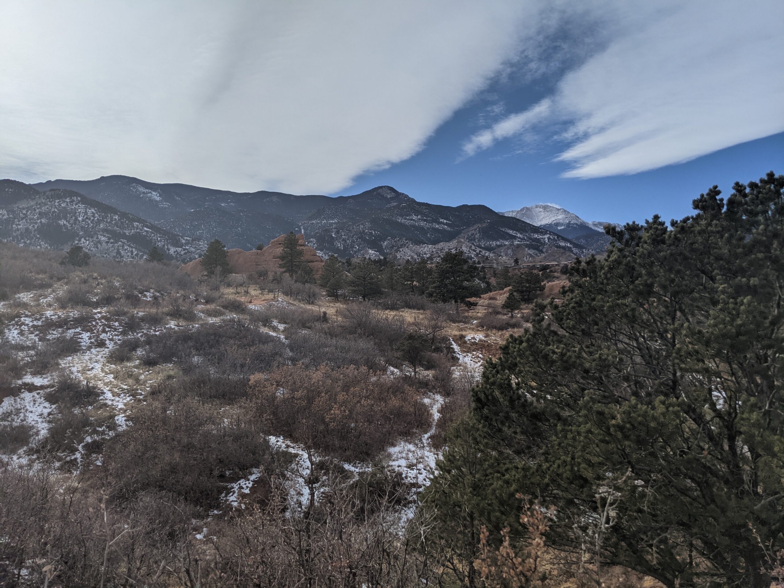
Bear Creek Regional Park is a sprawling 545 acre park nestled in the foothills of Colorado Springs, operated by El Paso County. It offers a rich mix of active recreation and natural spaces, making it a unique destination for both community gatherings and nature escapes.
Trails and Recreation
Ten miles of multi purpose, non motorized trails traverse the park, linking its various sectors. Visitors can jog, bike, hike, or ride horseback on these trails, many of which wind through prairie, riparian zones, and gentle hills. The park also includes picnic pavilions, playing fields, tennis courts, basketball courts, an archery range, volleyball areas, horseshoe pits, and playgrounds across its different areas.
Bear Creek Dog Park
Within the park lies a 25 acre fenced off leash dog area, one of El Paso County’s most visited facilities, drawing over 100,000 visitors each year. The dog park includes open prairie, wooded hills, a third mile stretch of Bear Creek, walking trails with a primary three quarter mile loop, and secondary paths. A separate two acre section is reserved for small and senior dogs. Amenities include creek access, water fountains, a dog wash area, restrooms, bag dispensers, shade, and benches.
Bear Creek Nature Center
The Bear Creek Nature Center (245 Bear Creek Road) serves as the educational hub of the park. It offers interpretive programs, guided and self guided tours, interactive nature exhibits, and seasonal events for families and school groups. Trails around the center highlight the area’s natural beauty and habitat but may have restrictions to protect sensitive wildlife.
Charmaine Nymann Community Garden
The Charmaine Nymann Community Garden is a two acre organic garden maintained by the Bear Creek Garden Association. It features 104 full size plots, underground water delivery, and secure fencing. Gardeners pay annual fees that cover soil tilling, water, and maintenance, and many donate surplus produce to local nonprofits.
Wildlife and Scenery
Bear Creek blends riparian corridors, prairie, and foothill terrain. Expect to see cottonwoods, scrub oak, ponderosa pines, and open meadows. Wildlife includes mule deer, coyotes, songbirds, raptors, and aquatic species near the creek. Seasonal bird migrations, wildflowers, and creekside reflections make the park especially scenic.
History
The land that now forms Bear Creek Regional Park has transitioned from historic poor farm and garden operations to one of the most loved open spaces in the region. Today the park is divided into East, Terrace, Dog Park, and Nature Center areas, balancing both active recreation and conservation.
Plan Your Visit
Location: Access via 21st Street and West Rio Grande for Bear Creek East, 21st Street and Argus for Bear Creek Terrace, and Bear Creek Road for the Nature Center. Hours: 5:00 a.m. to 9:00 p.m. daily Parking: Multiple parking lots serve the East, Terrace, Dog Park, and Nature Center areas. Tips:
Pets must be on leash in all areas except the dog park
Follow signage around the Nature Center as some trails have pet and bike restrictions
Check the Nature Center schedule for programs and events
Community garden plots are available seasonally through the Bear Creek Garden Association