Explorer Park is a 7.3-acre Briargate neighborhood park with a mix of recreation features and pedestrian-friendly design in northeastern Colorado Springs.
Features
Playground
Inline hockey court
Picnic shelter
Walking paths throughout the park
Natural Area
Trail connection to Briargate Trail
What to Expect A well-designed park with a balance of active recreation and walkable space for families and neighbors.
Plan Your Visit Location: 4260 Bardot Dr. Parking: Street parking available Hours: Sunrise to sunset Fees: Free
Cheyenne Meadows Park (City of Colorado Springs)
Cheyenne Meadows Park is a 20.5-acre community park offering a wide range of recreational amenities and nearby access to additional facilities in southwest Colorado Springs.
Features
Playground
Basketball court
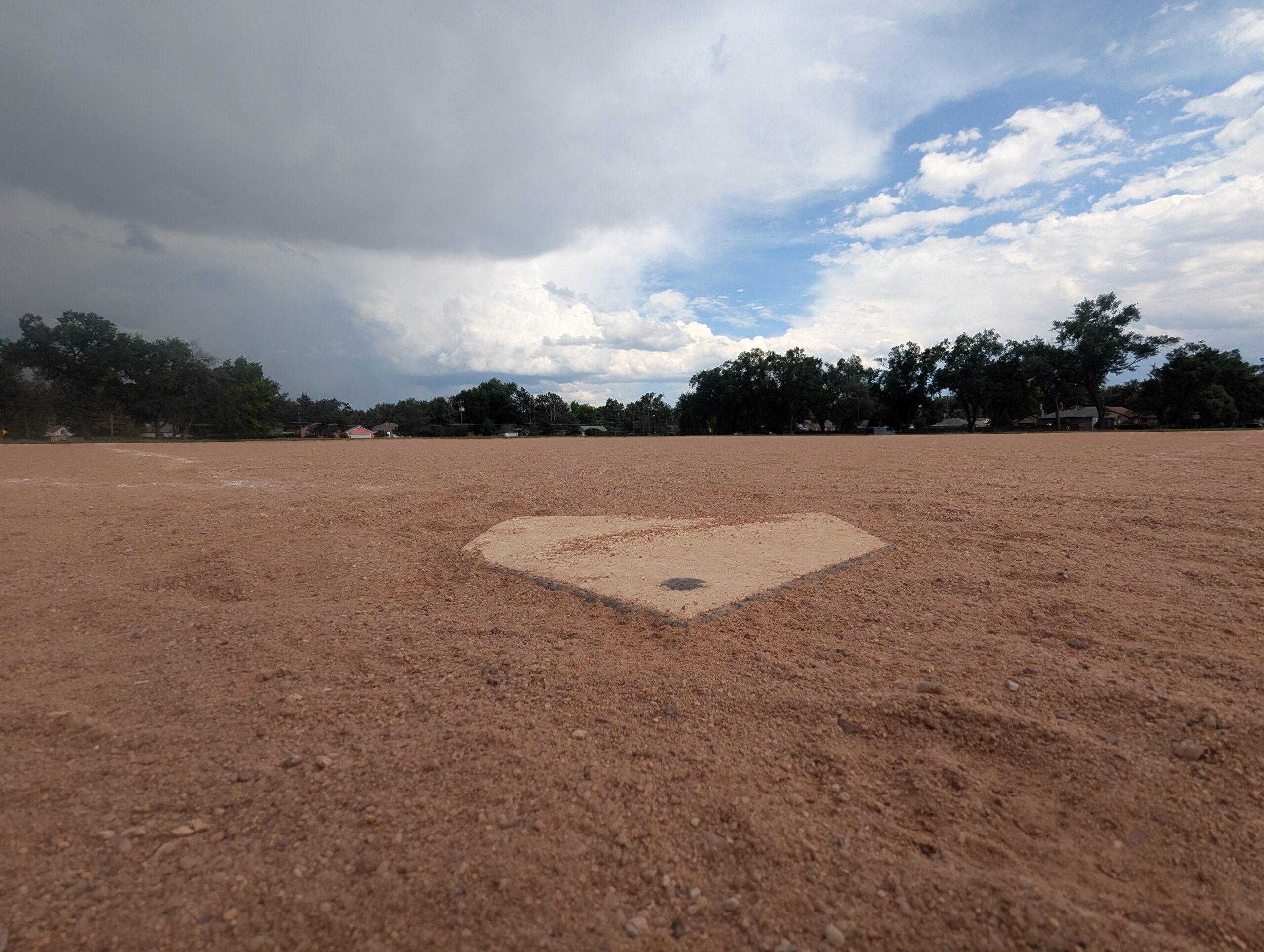
Baseball/softball fields
Soccer/football field
Horseshoe pits
Picnic shelter
Dog park nearby
Views of Cheyenne Mountain
What to Expect A large, activity-rich park that serves as a hub for sports, gatherings, and family outings, with something for nearly everyone.
Plan Your Visit Location: 3868 Glen Meadow Dr. Parking: Street parking and nearby access points Hours: Sunrise to sunset Fees: Free
Candleflower Park (City of Colorado Springs)
Candleflower Park is a 5-acre neighborhood park designed for everyday use and easy access in northeastern Colorado Springs.
Features
Playground
Open play area
Walkways throughout the park
Access to the Briargate Trail
What to Expect A walkable neighborhood park with simple amenities, ideal for families and casual outdoor time.
Plan Your Visit Location: 7690 Contrails Dr. Parking: Street parking nearby Hours: Sunrise to sunset Fees: Free
Boulder Park (City of Colorado Springs)
Boulder Park is a 7.2-acre community park near downtown and Memorial Hospital – Central, offering a variety of sports fields and open areas.
Features
Playground
Basketball court
Baseball/softball field
Football/soccer field
Open space for informal recreation
Rare trees planted around the park
Interpretive signage
What to Expect A larger neighborhood park that supports both organized sports and everyday use, with plenty of room to spread out.
Plan Your Visit Location:1210 E. Boulder St. Parking: Street parking nearby Hours: Sunrise to sunset Fees: Free
Bonforte Park (City of Colorado Springs)
Bonforte Park is an 8-acre neighborhood park near downtown, offering a mix of classic recreation amenities and walkable green space.
Features
Playground
Baseball/softball field
Two tennis courts
Seasonal restrooms
Open areas suitable for walking and casual use
What to Expect A larger neighborhood park with a balanced mix of active recreation and space to relax or take a casual walk.
Plan Your Visit Location: 2323 N. Wahsatch Ave. Parking: Street parking nearby Hours: Sunrise to sunset Fees: Free
Thorndale Park
What a history! Thorndale Park was once the Town of Ramona. Once considered the “City of Sin”, Ramona was incorporated as a counter to the temperance movement of the early 20th century.
Recreation and Activities
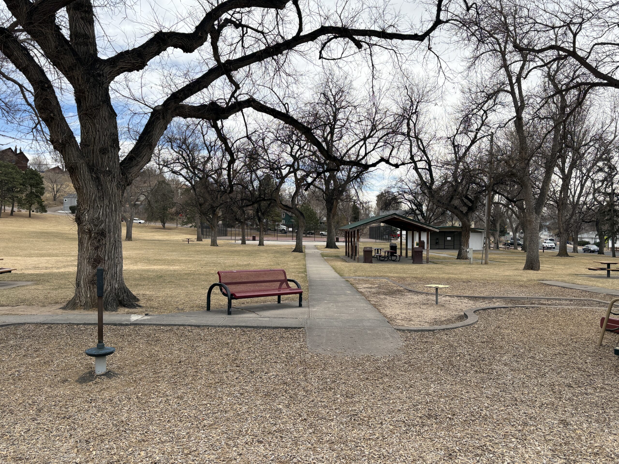
Thorndale park has plenty of features for families including play equipment, numerous picnic tables, a basketball and tennis court and a large open field for kids to romp. Large old trees provide plenty of shade during the hot summer months.
History
To fully appreciate the fascinating history of both Thorndale Park and the Town of Ramona it preceded, stop at the interpretive sign at the corner of 24th St. and Uinta St. You’ll get a better understanding of the complex history of the area.
Plan Your Visit
Location: 2310 W. Uintah St. The park can be accessed either along Uinta St. or along the side streets: 24th and 23rd Sts. Parking: Street parking is available on Uinta, 23rd or 24th. Accessibility ramps are located at the corners of 24th and 23rd. Hours: Open daily, dawn to dusk. Fees: No entry fee. Tips:
The ramada must be reserved through the Parks Department (719) 385-5940
The restrooms are closed during the winter months. Check and restroom closures on the City Parks Website
Palmer-Mesa Trail
The Palmer Mesa Trail is a multiuse pathway in Colorado Springs that spans approximately 3.5 miles of paved and unpaved surface along Mesa Road. Beginning in Blair Bridge Open Space, the trail branches off from the Foothills Trail and travels south through scenic foothills and neighborhood landscapes.
Recreation
This trail is popular with walkers, runners, cyclists, and families looking for a moderate, accessible route with strong scenic rewards. Its mix of paved and natural surface makes it suitable for both casual outings and longer fitness-focused trips. The gentle grades and open views make it especially enjoyable for sunset walks and rides.
Trails and Connections
Palmer Mesa Trail begins at Blair Bridge Open Space and connects to the Foothills Trail before continuing south along Mesa Road. Near its midpoint, the route intersects with the Mesa Valley Trail at Oliver Wendell Holmes Middle School. These connections allow users to build longer routes linking multiple west-side trail systems.
Wildlife and Scenery
Highlights along the trail include overlooks of the striking red sandstone formations and rolling hills of Garden of the Gods. A stone arch bridge built by John Blair, landscape gardener for the Glen Eyrie estate, adds historic character to the route. Open foothills terrain and native vegetation create changing scenery throughout the year.
History
The trail corridor reflects the area’s connection to early landscape design associated with the Glen Eyrie estate and surrounding foothills. Features such as the stone arch bridge and scenic viewpoints highlight the blend of natural beauty and historic influence along Mesa Road.
Plan Your Visit
Location: Along Mesa Road, from Blair Bridge Open Space to Mesa Valley Trail Parking: Small parking areas near the Blair Bridge. Hours: Open daily, sunrise to sunset Fees: Free
Tips: Parking is limited and fills quickly during peak times, especially at sunset. Bring water, use caution near road crossings, and share the trail courteously with other users.
Sondermann Park
Sondermann Park is a peaceful neighborhood and open space park on the west side of Colorado Springs. This scenic corridor features creekside habitat, open lawns, and trail access, offering a quiet escape close to downtown and Old Colorado City.
Recreation
The park is popular for walking, jogging, dog walking, birdwatching, and casual cycling along soft-surface paths. Open grassy areas provide space for wildlife viewing, relaxation, and informal play, while shaded sections near the creek offer cool resting spots during warmer months.
Trails and Connections
Sondermann Park provides direct access to the Mesa Valley Trail. This serves as a connection to the Pikes Peak Greenway Trail. The park also serves as a gateway to nearby environmental education facilities and neighborhood routes. Inside the park, a variety of trails through diverse habitat are present. Trails: Bluestem Trail, Mesa Valley Trail, West Fork Trail , Creekside Trail, Lilac Trail, Western Loop, South Park Loop.
Wildlife and Scenery
The creek and wetlands attract ducks, songbirds, herons, beavers and other wildlife throughout the year. Cottonwood trees, native grasses, and riparian vegetation create a natural landscape that changes with the seasons. Larger wildlife, such as coyotes, mountain lions, bobcats and black bears frequent the area. The area is especially popular for early-morning walks and nature photography.
History
The park is named in honor of Paul Sondermann, a longtime conservation advocate who played a key role in protecting local waterways and open spaces. Its preservation reflects the community’s commitment to maintaining healthy creek corridors and accessible green spaces.
Plan Your Visit
Location: 740 W. Caramillo St., Colorado Springs, CO 80907 Parking: Limited parking available near trailhead and adjacent streets Hours: Open daily, sunrise to sunset Fees: Free
Tips: Bring water and sun protection, and watch for cyclists on shared-use paths. Stay on designated trails to help protect creekside habitat.
Nancy Lewis Park
Nancy Lewis Park is one of Colorado Springs’ most charming neighborhood parks, offering a peaceful setting with a small pond, wetlands, rocks, a footbridge, and plenty of ducks that delight visitors of all ages. Located off Templeton Gap near Union and Fillmore, this 8.9-acre park is a valued community space for walking, relaxing, and everyday outdoor recreation.
Recreation
The park is ideal for casual walks, family outings, and light exercise, with a sidewalk path that loops around the entire park. Visitors enjoy watching wildlife around the pond, using the playground and fitness equipment, or gathering for informal games and picnics. A croquet and putting green and sand volleyball court add to the park’s variety of recreational options.
Trails and Connections
Nancy Lewis Park features paved sidewalk paths that create an easy, accessible walking loop for all ages and abilities. While it is primarily a neighborhood destination, its paths connect nearby residents to surrounding streets and local routes for short walks and bike trips.
Wildlife and Scenery
The park’s pond and wetland areas attract ducks and other birds throughout the year. Rock features, landscaped areas, and seasonal plantings create a scenic setting that changes with the seasons. The bridge and water features make this park especially popular for photography and quiet reflection.
History
Nancy Lewis Park honors community legacy through features such as the hospice tree dedication and legacy wall. Over time, it has become known as a welcoming gathering place that reflects the neighborhood’s commitment to preserving small, high-quality green spaces.
Plan Your Visit
Location: 2615 Logan Ave. (Templeton Gap Road and Logan Ave.) Parking: Street parking available nearby Hours: Open daily, sunrise to sunset Fees: Free
Tips: Restrooms are seasonal. Bring water for warm days and take time to explore the pond area for wildlife viewing.
Rockrimmon Trail
The Rockrimmon Trail is a scenic urban foothills route in northwest Colorado Springs, offering sweeping views of the city, the Front Range, and surrounding open spaces. Popular with hikers, trail runners, and dog walkers, this accessible trail provides a quick escape into nature without leaving town.
Recreation
Rockrimmon Trail is well-suited for walking, jogging, and light trail running, with moderate elevation gain and open terrain. The route is frequently used for fitness outings, sunset walks, and casual nature exploration, making it a favorite for nearby neighborhoods. Leashed dogs are welcome, and the trail’s wide sections make it comfortable for shared use.
Trails and Connections
The main trail connects to a network of nearby routes in the Rockrimmon and Peregrine open space areas, allowing users to extend their outings. Hikers can link to additional foothills trails for longer loops and more challenging terrain, creating flexible options for both short and extended visits.
Wildlife and Scenery
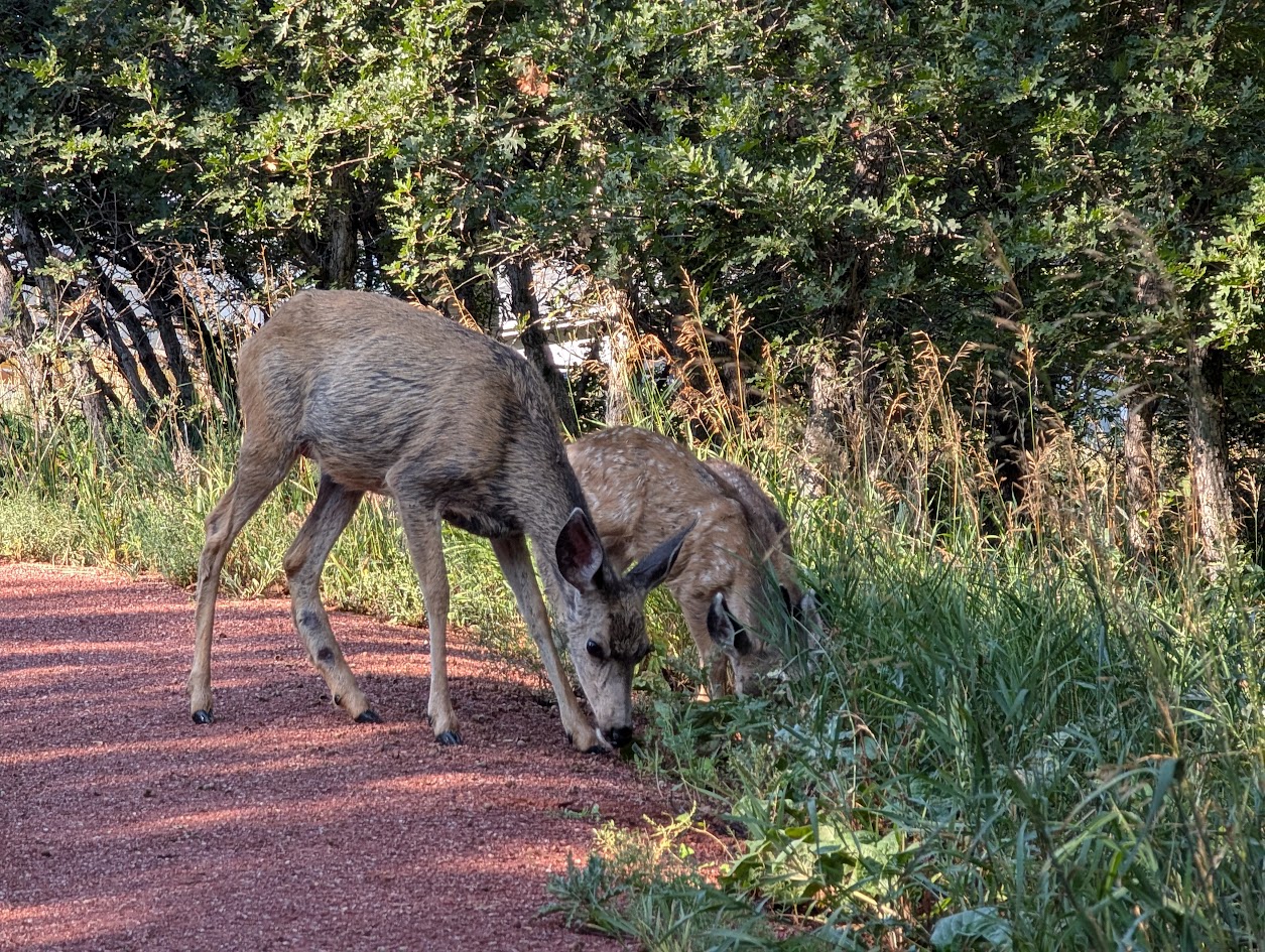
The trail passes through grasslands, shrublands, and rocky outcrops that support deer, hawks, songbirds, and other urban wildlife. Expansive views of Pikes Peak, Garden of the Gods, and the city skyline make this area especially popular for photography and quiet reflection.
History
The Rockrimmon area has long been valued for its natural setting along the city’s western edge. As development expanded nearby, the trail system was preserved to maintain public access to foothills landscapes and outdoor recreation close to residential neighborhoods.
Plan Your Visit
Location: Northwest Colorado Springs, near Rockrimmon Boulevard Parking: Limited street parking available near trailheads Hours: Open daily, sunrise to sunset Fees: Free Tips: Bring water, sun protection, and sturdy shoes. Watch for changing weather and share the trail courteously with other users.
With its convenient location, open views, and connections to surrounding open spaces, Rockrimmon Trail offers an easy and rewarding way to experience the foothills and stay active close to home.